
-
Engineering Students Building Their Future

People get into engineering to solve problems, to make improvements within a community. Building bridges, resurrecting viable properties through remediation, or surveying more than just land with laser technology is fascinating. But... ... Read More
-
Liberty State Park Wharf Gets a Face Lift!
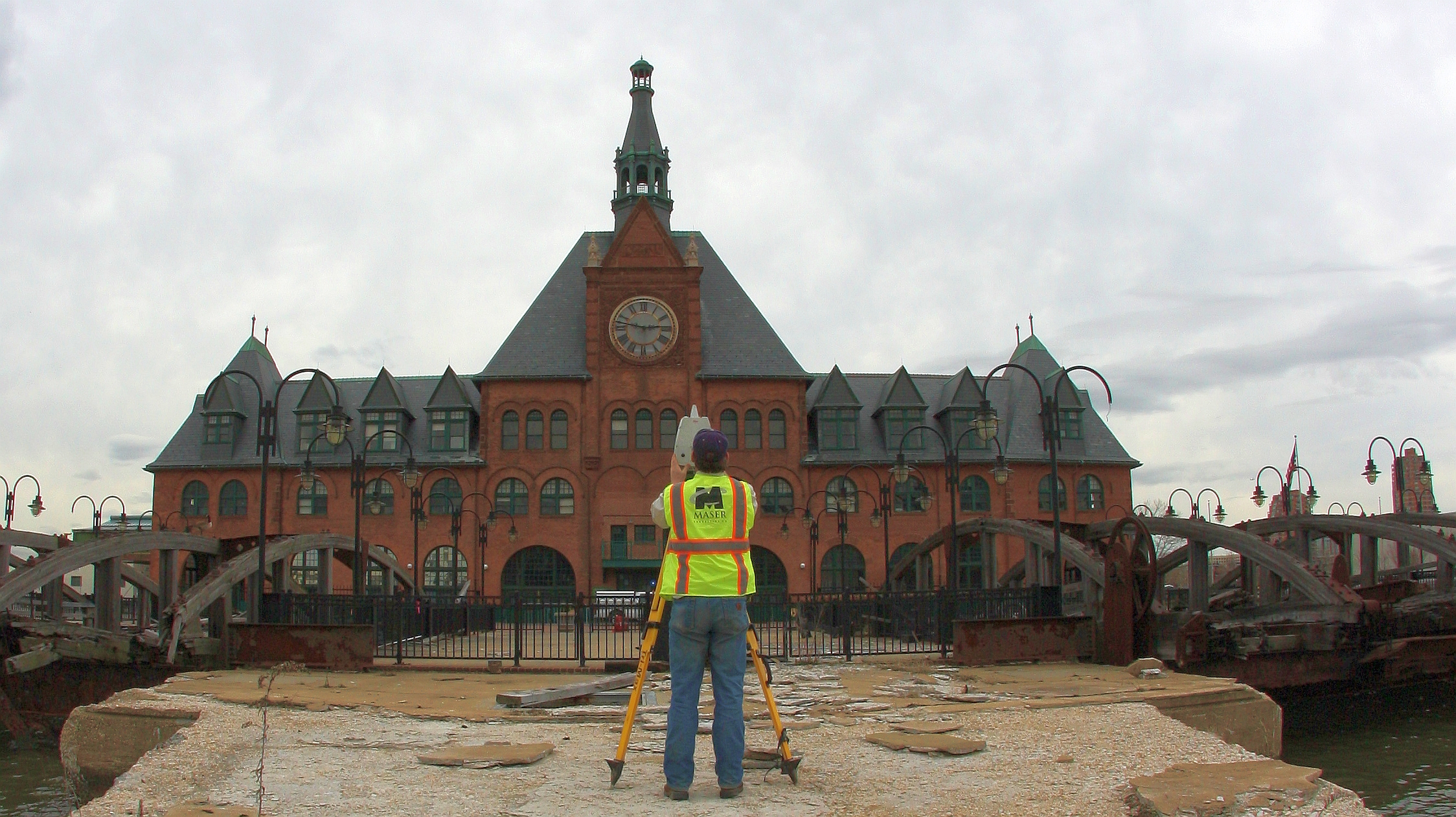
FERRY SERVICE OPEN DURING RESTORATION! We’re half way through the summer and warm days mean more time for fun outdoors! As an engineering firm, we’re constantly working behind the scenes to make... ... Read More
-
Data Fusion & Design/Build–A Recipe for Success!

“When properly managed and executed [LiDAR technology] can result in safer means of survey data collection, expedited project schedules, extensive datasets for design inquiries, better quality survey deliverables and extreme confidence in... ... Read More
-
Geospatial Survey: A Client’s Dream
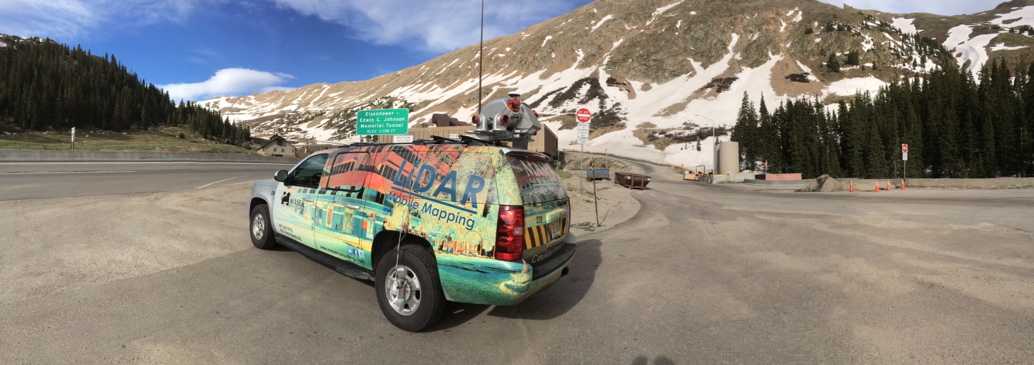
The past few years have brought a variety of powerful Hi-Definition Scanning (HDS) technologies to the survey industry that have added an entirely new dimension to the way we acquire survey data and produce... ... Read More
-
Zumanjaro: Drop of Doom – How Scary is Built
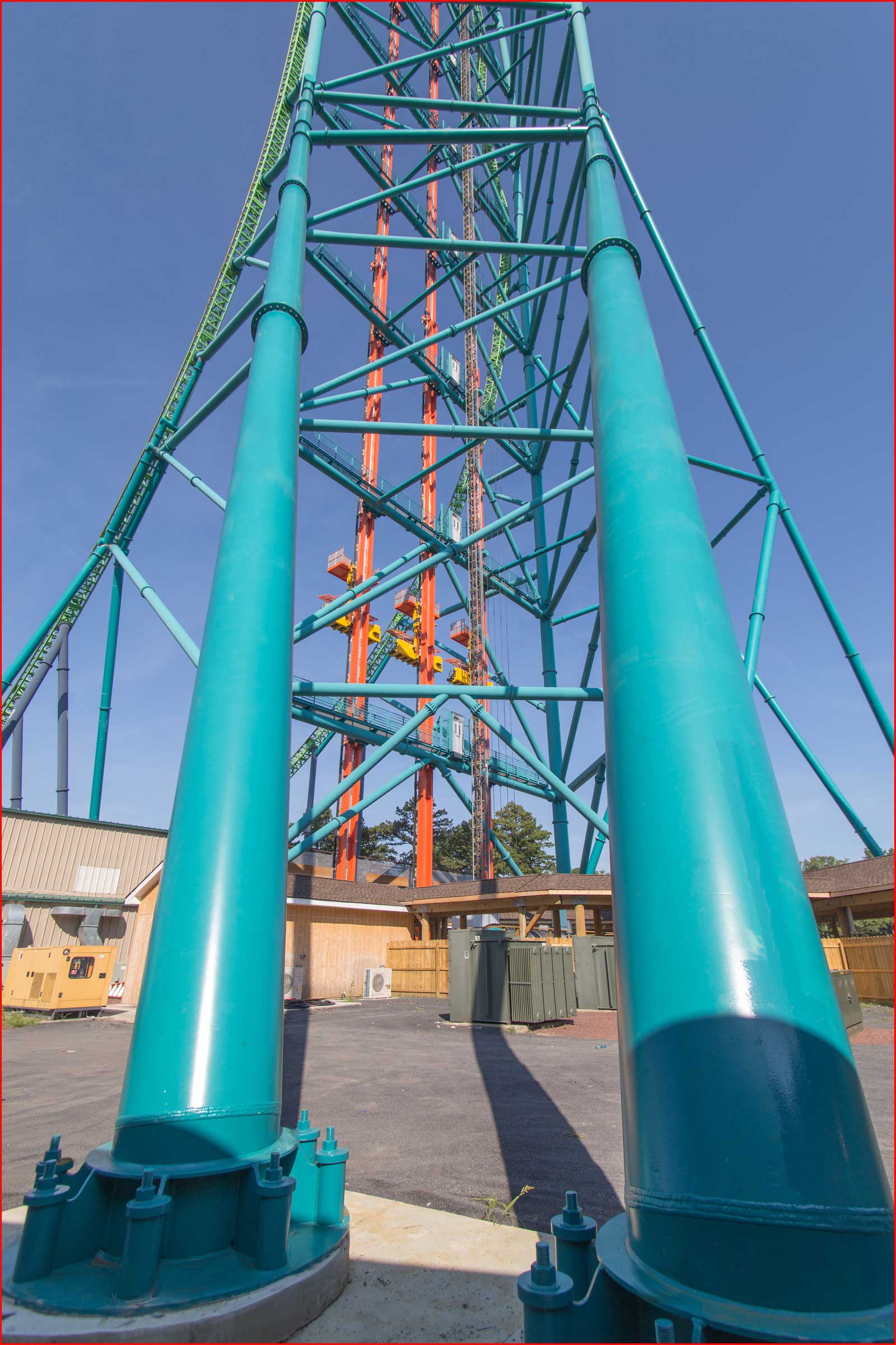
Our own Rich Maloney, Department Manager for Structural Services, has been providing structural engineering support services for over 100 theme park rides, including five of the top six roller coasters nationwide according to Time Magazine’s... ... Read More
-
Where’s Wygant?
GEOSPATIAL MAN-ON-THE-MOVE Clay Wygant. Mobile Mapping Extraordinaire. Take a good look at his picture because scanning a million points per second makes Wygant so fast you may never catch up with him!... ... Read More