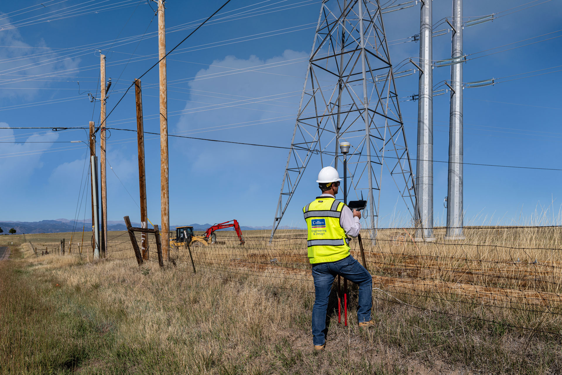
Survey & Geospatial
Bringing clarity and confidence to your building projects
Your project deserves more than design alone. It requires thoughtful planning, coordination, and a clear path forward. Our architecture services are built around helping you move from idea to construction with alignment, efficiency, and long-term value in mind.
We support projects with:
- Planning studies and early feasibility analysis
- Conceptual and schematic design
- Design development and construction documentation
- Coordination with engineering disciplines and consultants
- Support during permitting and construction
From the first conversation through construction, we focus on keeping your project clear, coordinated, and responsive to your goals.
Our approach
Architecture at Colliers Engineering & Design is collaborative and informed by experience across commercial, healthcare, hospitality, workplace, mixed-use, and redevelopment markets. We translate ideas into buildable solutions that respond to regulatory requirements, site conditions, and construction realities – ensuring decisions are made with full project context in mind.

Related Services
Colliers Engineering & Design’s multi-disciplined approach offers our clients a complete range of services through a single network of strategically located offices. Through this comprehensive suite of in-house services our clients have a team of experts at their disposal to quickly create custom solutions resulting in cost-effective project delivery.
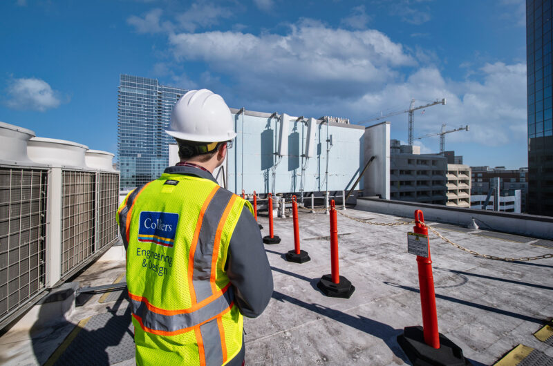
Cell Site Design & Engineering
From cell site modification design to construction engineering & inspection, we work with our clients every step of the way to help carriers and tower owners keep networks moving forward.
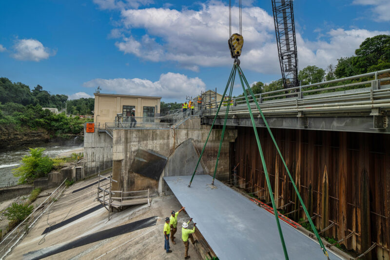
Hydropower
Explore how our experts help our clients make risk-informed, lifecycle investment decisions to protect and improve hydropower facility performance.

Solar
Discover top-notch solar energy and battery storage engineering for commercial and utility grade systems that ensure a successful project outcome.

Renewable Energy
Empower your renewable energy projects with our expert services that ensure sustainable, efficient, and cost-effective solutions tailored to your needs.

EV & Emerging Technology
Explore how our EV infrastructure projects and services accelerate the way consumers and markets are experiencing the next generation of energy and transportation.
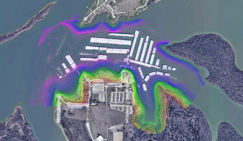
Hydrographic
Maximize your project accuracy with our state-of-the-art hydrographic surveying technology tailored for marine environments.
Designing for performance and longevity
Architecture should serve the people who use the space every day. We design buildings that support operations, adapt to changing needs, and perform reliably over time. From circulation and layout to durability and maintenance considerations, our focus is on creating spaces that function well now and in the future.
Coordinated architecture for complex projects
Successful projects depend on strong collaboration. At Colliers Engineering & Design, architecture is fully integrated with engineering and design disciplines, allowing decisions to be evaluated early and thoroughly.
This integrated approach helps reduce risk, improve communication, and support smoother execution from design through construction, giving you confidence at every phase.
Frequently asked questions
A full-service architect supports a project across all phases, from early planning and design through construction. This includes developing concepts, coordinating with engineers, preparing construction documents, and supporting permitting and construction activities.
Let’s talk about your next project!
Our multidisciplinary approach to design, combined with a deep understanding of the industry and passion for innovation, has positioned us as leaders consistently delivering outstanding results in shaping the built environment.