Subsurface Utility Engineering
Subsurface Utility Engineering (SUE), is an essential method for accurately identifying, verifying, and mapping underground utilities. This process is vital in minimizing the risks and costs associated with utility conflicts during the design and construction of infrastructure projects. By gathering data from a variety of sources and employing advanced technologies, our licensed professionals provide clients with the most comprehensive and reliable information available.
We adhere to the ASCE 38 Standard Guidelines for Investigating and Documenting Existing Utilities. Our SUE process integrates a range of geophysical and engineering techniques to ensure thorough utility detection and mapping:
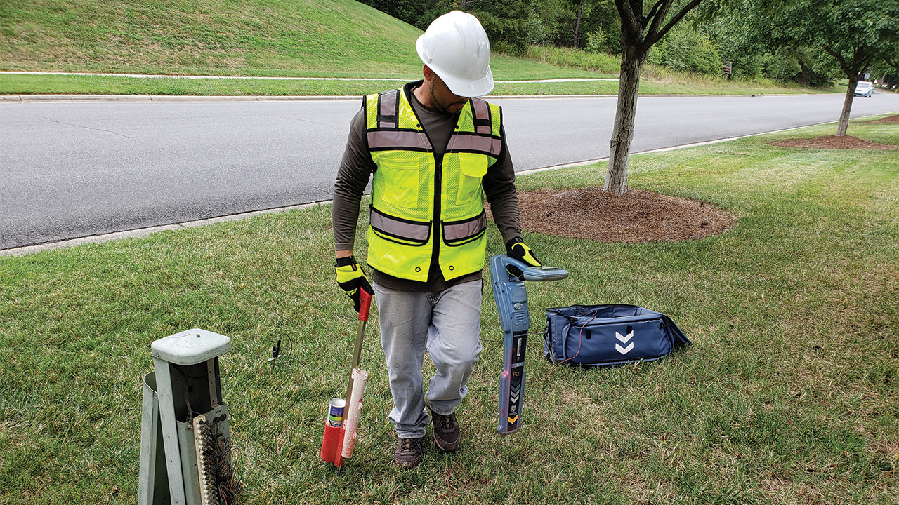
- Geophysical Utility Designation: Using electromagnetic techniques and ground penetrating radar (GPR) to detect utilities below the surface.
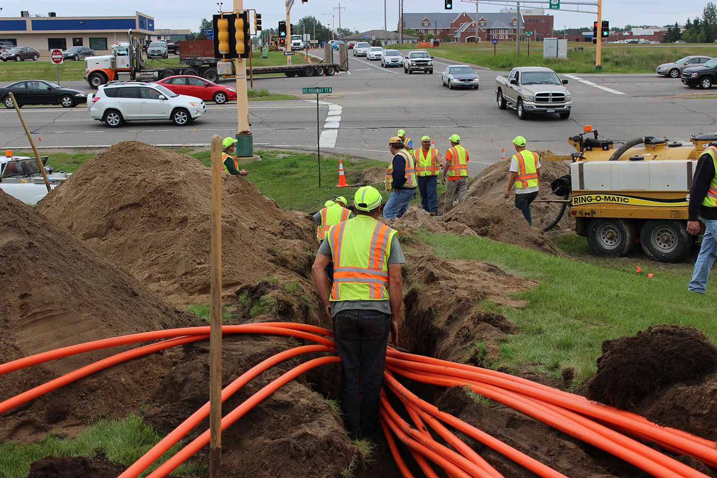
- Nondestructive Excavation: Employing techniques such as vacuum excavation to expose utilities without damaging them, ensuring precise utility identification.
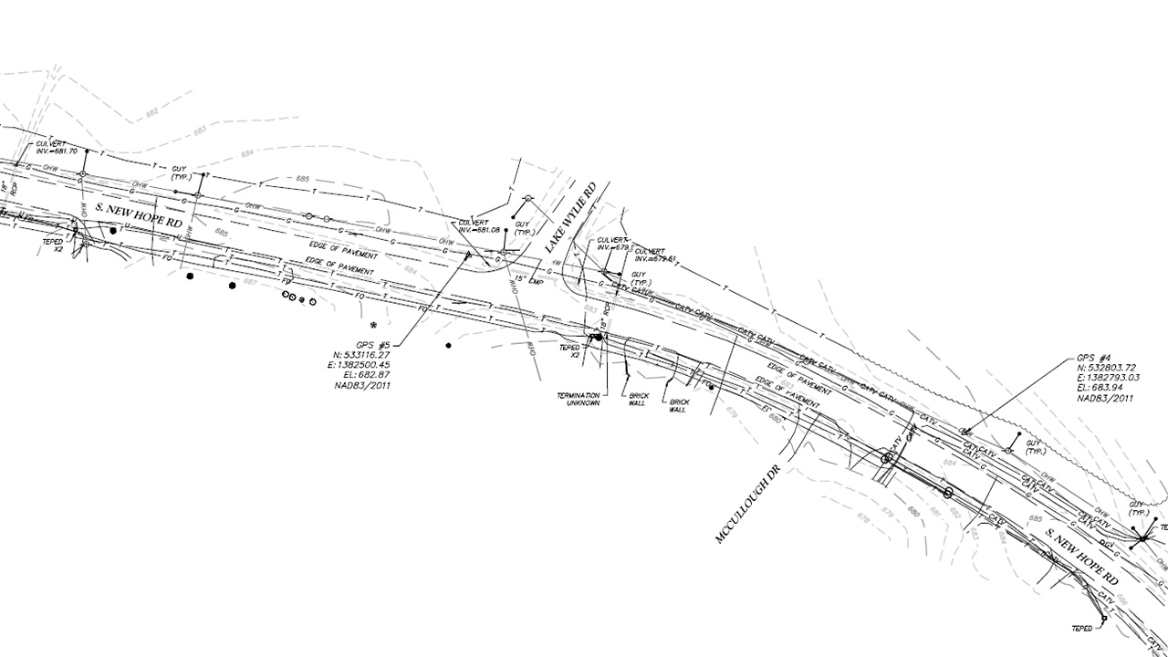
- Survey and Mapping: Detailed survey techniques using Robotic Total Stations, GPS or LiDAR to accurately document the location of underground utilities.
Our customized SUE services are efficiently delivered to a wide range of clients, including Departments of Transportation (DOTs), airports, railroads, transit authorities, land developers, government agencies, utility owners, and private clients.
Services
- 3D Utility Modeling
- Cable/Fiber/Phone Locating
- Concrete Evaluations
- Concrete Reinforcement/Conduit Mapping
- Comprehensive Data Management
- Electric Line Locating.
- Excavation/Drilling Clearances
- Gas Line Locating
- Georeferenced Mapping
- GIS Utility Information
- Hydrographic/Bathymetric
- Integrated Survey Deliverables with Existing Utilities
- Irrigation System Locating
- Overall Utilities Management
- Record Research & Compilation (811)
- Risk Envelope for Utilities
Subsurface Utility Engineering Projects
Let's talk about your next project.
Our multidisciplinary approach to design, combined with a deep understanding of the industry and passion for innovation, has positioned us as leaders consistently delivering outstanding results in shaping the built environment.
Newsroom
Articles
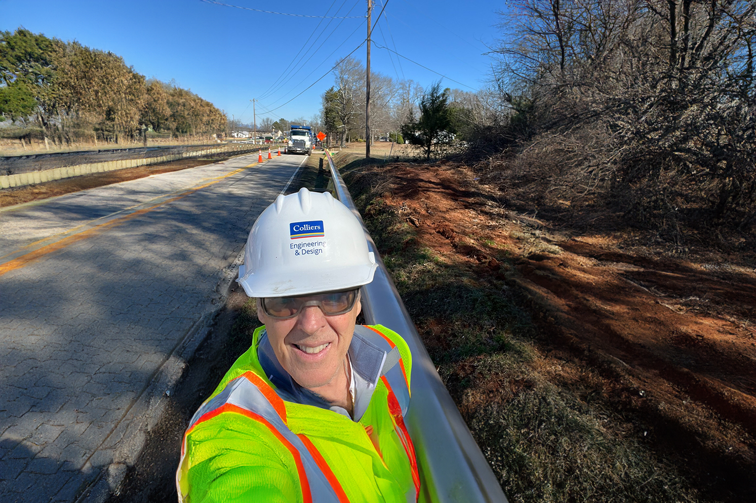
Why Developers Should Partner with a Utility Coordinator Before Breaking Ground
When you are driving on your local highway, are you aware of how many utilities you pass? Some are easy to spot above ground, like utility poles, electrical wires and water towers,
Blogs
April is National Safe Digging Month!
Before you start those outdoor projects, you’ve been planning all winter, be sure to call 811. By calling before you dig, you can reduce your risk of damaging underground lines and injuring
Events

TSPS Annual Convention and Tech Expo
Join our team at the 74h Annual Texas Society of Professional Surveyors (TSPS) Conference and Tech Expo from October 8-11 in San Antonio, TX


