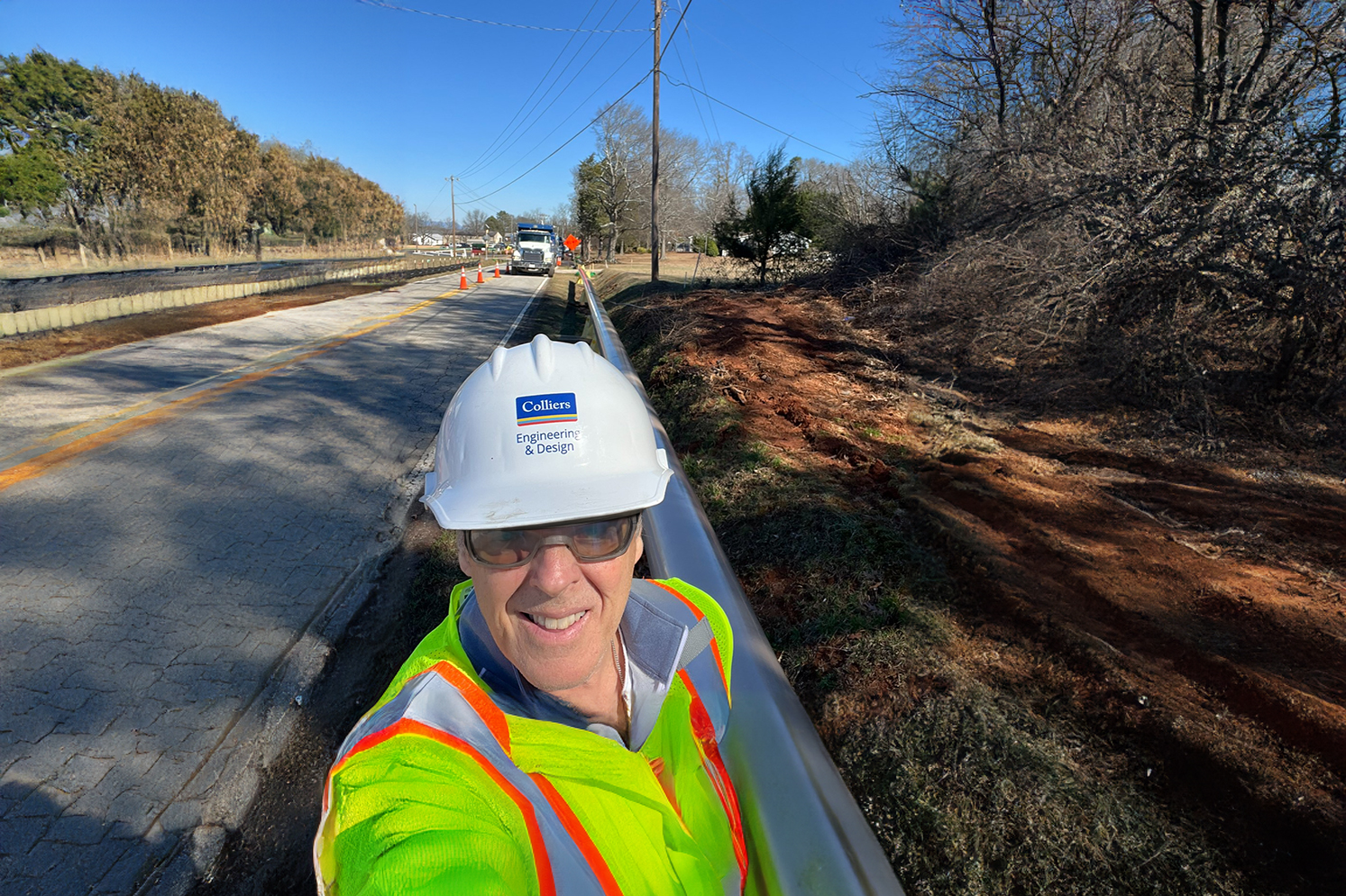
Why Developers Should Partner with a Utility Coordinator Before Breaking Ground
When you are driving on your local highway, are you aware of how many utilities you pass? Some are easy to spot above ground, like utility poles, electrical wires and water towers,
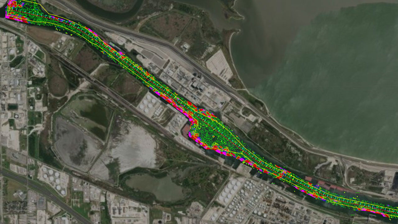
What Actually Is Hydrographic/Bathymetric Surveying?
Read how Hydrographic/Bathymetric Surveying maps water features using sonar and GPS, crucial for navigation, research, and conservation.
WNY Facilities Management Expo
Look for our team at the WNY Facilities Management Expo on October 22 in Hamburg, NY and explore the diverse suite of in-house services