
-
What Actually Is Hydrographic/Bathymetric Surveying?
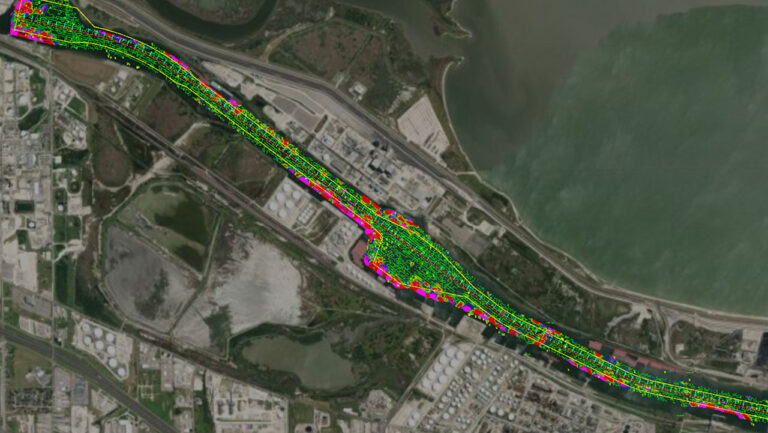
Read how Hydrographic/Bathymetric Surveying maps water features using sonar and GPS, crucial for navigation, research, and conservation. ... Read More
-
Behind the Scenes: UAS Taking Flight
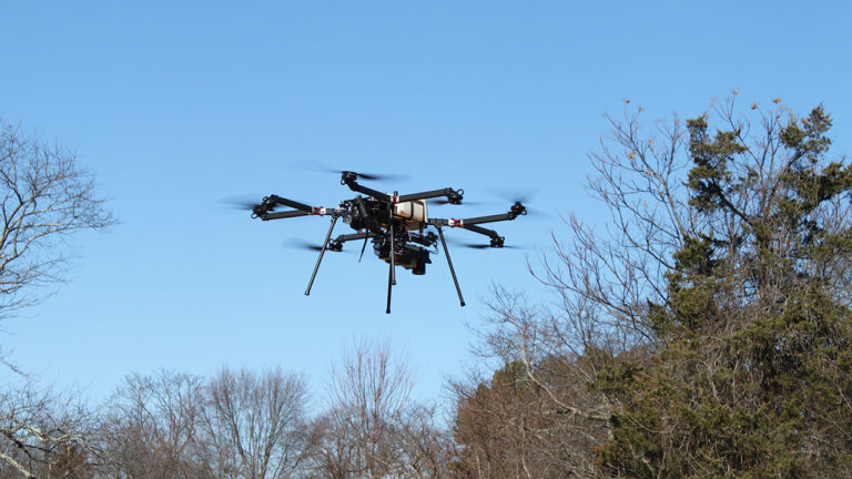
In this new blog series, I want to combine my love of writing with the learning opportunities I get in the field and give you a behind the scenes look at the... ... Read More
-
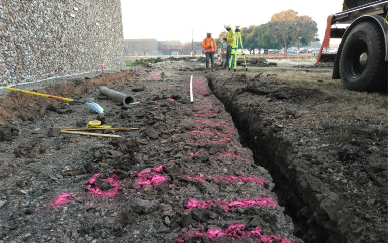
April is National Safe Digging Month!
Before you start those outdoor projects, you’ve been planning all winter, be sure to call 811. By calling before you dig, you can reduce your risk of damaging underground lines and injuring... ... Read More
-
Q&A with Aimara Diaz La Rosa, PSM, Geographic Discipline Leader, Survey/Geospatial

Aimara Diaz La Rosa, PSM discusses among other things some of the exciting new construction building projects she’s involved with in the Miami area. ... Read More
-
Accelerating Our Client’s Success – Leaders Collaborate for 2023 Plan
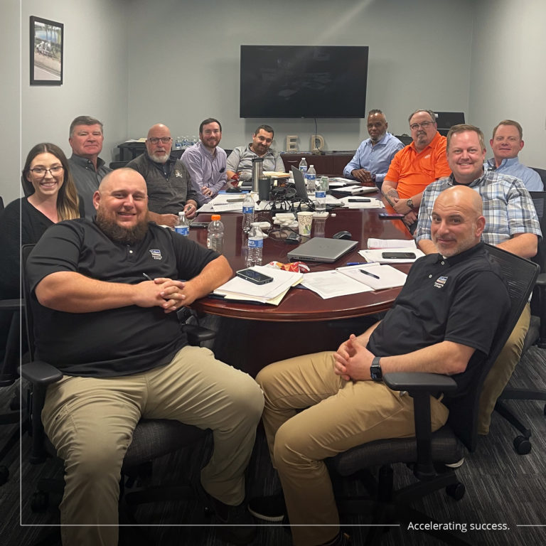
As Colliers Engineering & Design continues to expand across the nation, keeping in touch with discipline leaders has been a priority. Our talented Subsurface Utility Engineering (SUE), Utility Coordination and Survey professionals... ... Read More
-
What Actually is a Cross Bore?
One of my first assignments at Colliers Engineering & Design was to do research into cross bores, as it relates to Subsurface Utility Engineering (SUE), for an article. New to the world... ... Read More