-
Mobile LiDAR and its use for Curve Analysis

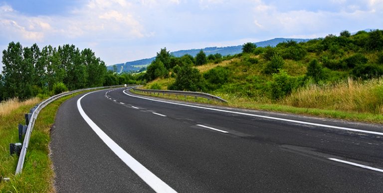
Have you ever wondered who sets the traffic speed limit on a roadway curve sign? You know, the ones you see as you drive along a winding road or off-ramp with a speed advisory on it. It points the direction and posts a recommended speed usually somewhere between 10 and 35mph. To determine this speed, there's a science involved. Read ... Read More
-
My Name is SUE

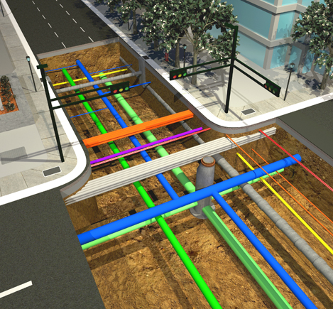
Subsurface Utility Engineering: Finding Hidden Infrastructure Beneath the ground, subsurface utilities weave intricate pathways of water, electric, sewer, gas, drainage, and communication lines. But even with the most vigilant maintenance programs, the... ... Read More
-
Mobile LiDAR Safety: Birth of an SOP

Standard Operating Procedure (SOP). We all know what they are and many of us have to follow them as part of company policy. While many SOPs are written as a result of... ... Read More
-
Much Ado About Fort Monmouth

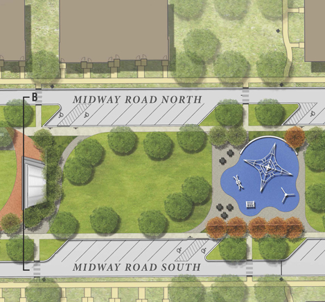
Fort Monmouth, a once bustling Army installation consisting of over 1,126 acres, is nestled within the communities of Eatontown, Oceanport, and Tinton Falls, New Jersey. Initially designed as a self-contained community, today there are only remnants of services and businesses still active along the main thoroughfare. Since the base officially closed in 2011, there has been much ado over its fate. ... Read More
-
Colliers Engineering & Design Aids in Restoring Local New Jersey Communities
New Jersey Cities Redeveloping Local Communities Colliers Engineering & Design is proud to offer services to aid communities in their redevelopment projects. Recently, the Firm provided integrated engineering services for the cities... ... Read More
-
Hurricane Drones

As a wave of deadly hurricanes (Harvey, Irma, Jose and Maria) etched-out a pathway of destruction (August thru September), there were so many weather models it was difficult to see which path... ... Read More

