-
Data Fusion & Design/Build–A Recipe for Success!

“When properly managed and executed [LiDAR technology] can result in safer means of survey data collection, expedited project schedules, extensive datasets for design inquiries, better quality survey deliverables and extreme confidence in... ... Read More
-
Geospatial Survey: A Client’s Dream

The past few years have brought a variety of powerful Hi-Definition Scanning (HDS) technologies to the survey industry that have added an entirely new dimension to the way we acquire survey data and produce... ... Read More
-
Environmental Update with Bob Zelley, PG, LSRP
GUIDANCE FOR CONTAMINATED SITE OWNERS The purpose of this entry is to provide regulatory guidance for a Responsible Party of a contaminated site located in New Jersey. The following describes the requirements for... ... Read More
-
Where’s Wygant?
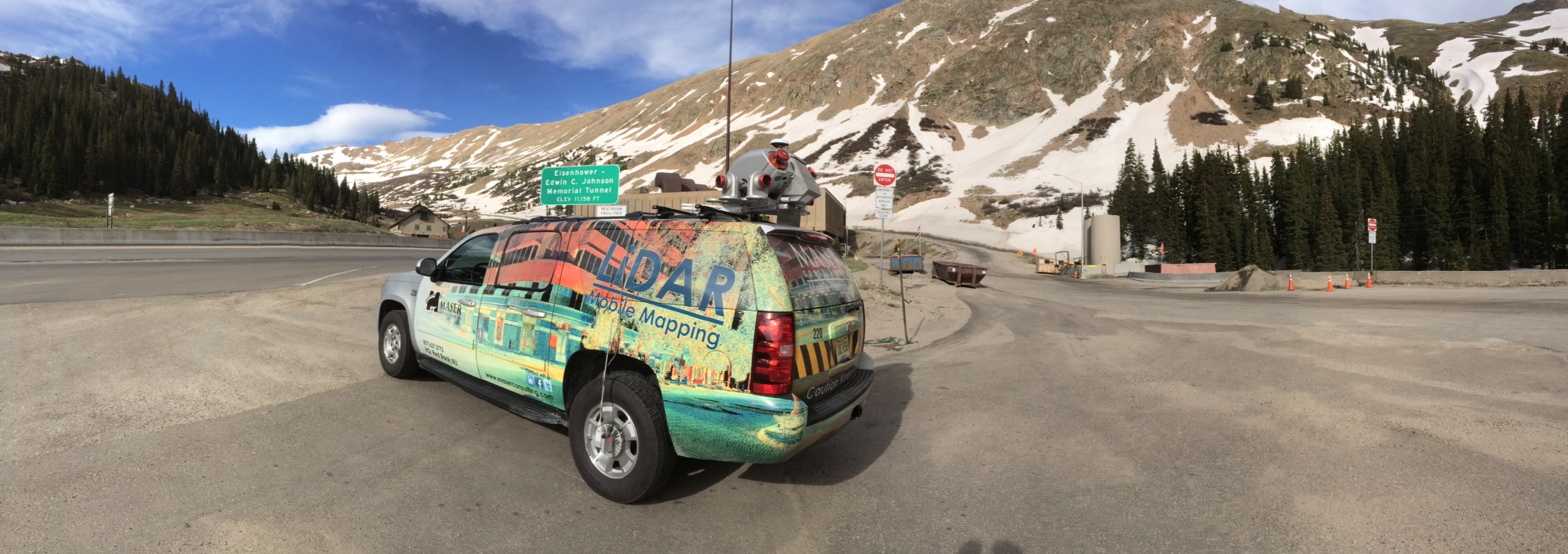
GEOSPATIAL MAN-ON-THE-MOVE LiDAR Mac. Colliers Engineering & Design, in conjunction with Radar Awning in Albuquerque, manufacturer of fine awnings and coverings, has developed the RiCover. This unique environmental cover can be affixed... ... Read More
-
Mobile Mapping for Engineering Design
REPRINTED WITH PERMISSION BY SPAR July 30, 2014 || Mobile mapping systems (MMS) offer many benefits when acquiring very accurate and precise field survey data. One of the biggest benefits offered by... ... Read More
-
Where’s Wygant?
GEOSPATIAL MAN-ON-THE-MOVE Welcome to the Land of Enchantment. But just because Wygant’s truck is here doesn’t mean that he is. Colliers Engineering & Design recently announced the opening of its newest office... ... Read More

