Investment market activity for solar development is on the rise. In fact, it is more common than ever before. The reasons for the recent spark of interest in the further development and implementation of solar energy? Green Policy shifts by the government. Increased public awareness. Advancements in solar technology and the subsequent falling costs to produce solar equipment.
With an increasingly competitive market, and towns and municipalities adding more zoning ordinances and restrictions, efficiency when working on a solar project is increasingly critical.
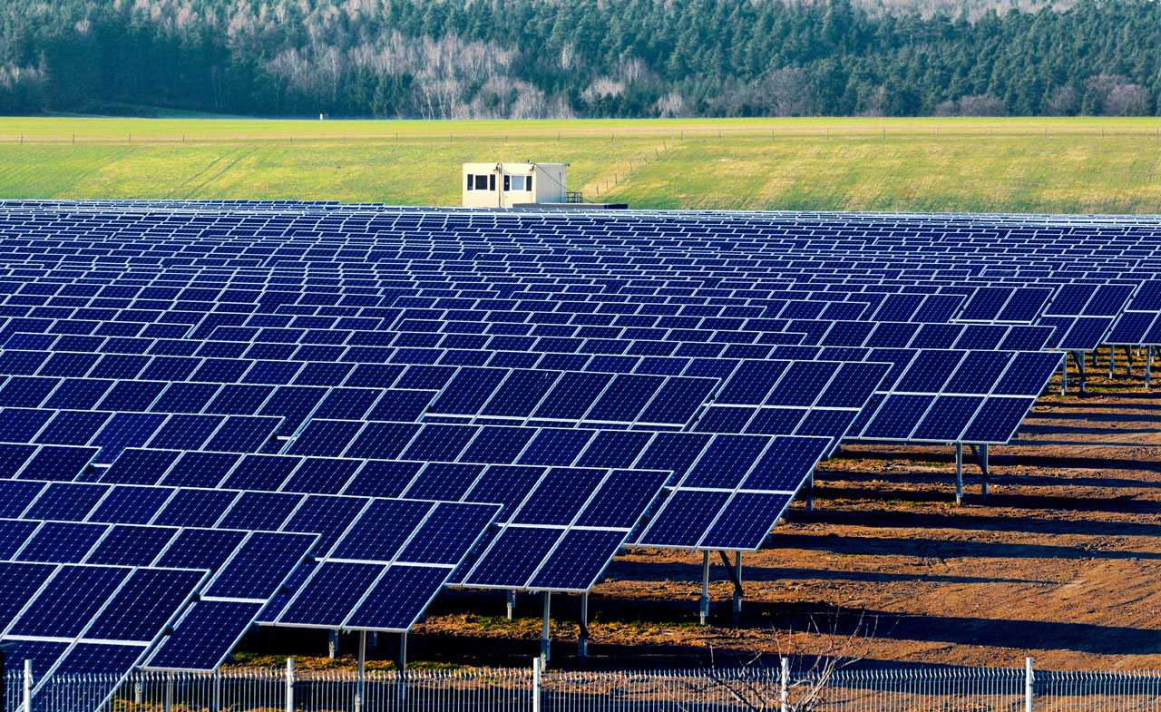
The first step in planning a solar field is site selection and feasibility, which are the building blocks of the project. This usually means finding a large tract of land, which may be a commercial or public site, depending on the client. Next, property boundaries must be determined, and it is imperative to identify land features such as old structures, wetlands, and environmentally sensitive areas. But what is the best way to collect this information? What method would be most efficient?
Why UAS
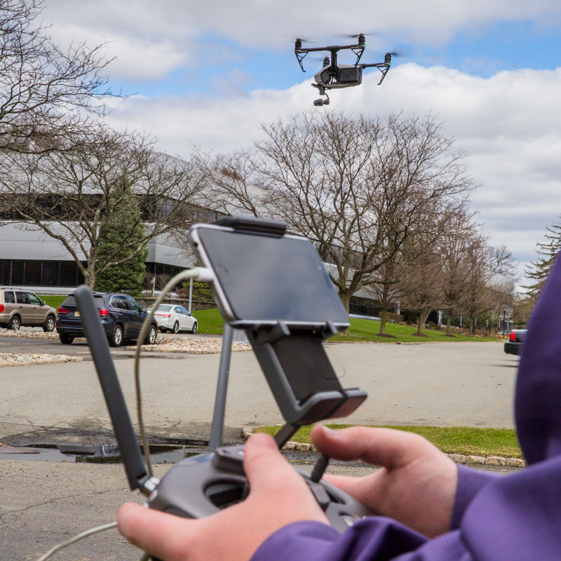
Colliers Engineering & Design uses Unmanned Aircraft Systems (UAS), aka drones, to scan large parcels of land overhead quickly and efficiently. They can be used with a variety of sensors that carry scanners to capture survey data using LiDAR, Photogrammetry, and Thermal Imagery. These expansive sets of combined data enable surveyors and engineers to easily perform tree-height analysis, topographical and boundary surveys, and construction monitoring. UAS increase efficiencies by utilizing the best sensor for each phase of a project.
Next, performing topographic surveys via data collected by UAS based LiDAR sensors can improve efficiency. Often, by 50x or more than conventional, boots-on-the-ground methods. A project that might take weeks to perform manually on a large tract can be done in a few hours using a drone. And that’s with no decrease in accuracy. In fact, a single UAS LiDAR platform can collect over 1200 acres a day.
Not only a fast form of data collection, but also extremely accurate, UAS can fly slower and lower than manned aircrafts, can collect over 100 points per square meter (PPSM) and provides penetration of forest canopy. Typically, return visits can be reduced or eliminated because of the increased amount of data collected from one flight. Further, we can model tree heights with the tightest possible production with UAS-based LiDAR data. This leads to minimized tree clearing, which speeds up permitting times. It’s also a major plus for the surrounding environment!
Giving Us a Clear View
UAS has the capability to capture detailed images from above when they are outfitted with photo and video sensors. Have you ever looked up your house on Google Earth? Did you notice that the image was a little outdated? Especially in rural areas, your street, like many rural project sites, may not have up-to-date images. UAS enables us to capture our own images to confirm site conditions and create accurate renderings.
We can again use UAS after we finish a project. We scan the site using UAS to quickly and easily collect data for as-built built surveys. These as-builts ensure universal understanding about each site. They also confirm that everything constructed falls within any lease or easement areas. Again, we capture this data in a timely and cost-effective way because of UAS.
A Long-Term Solution
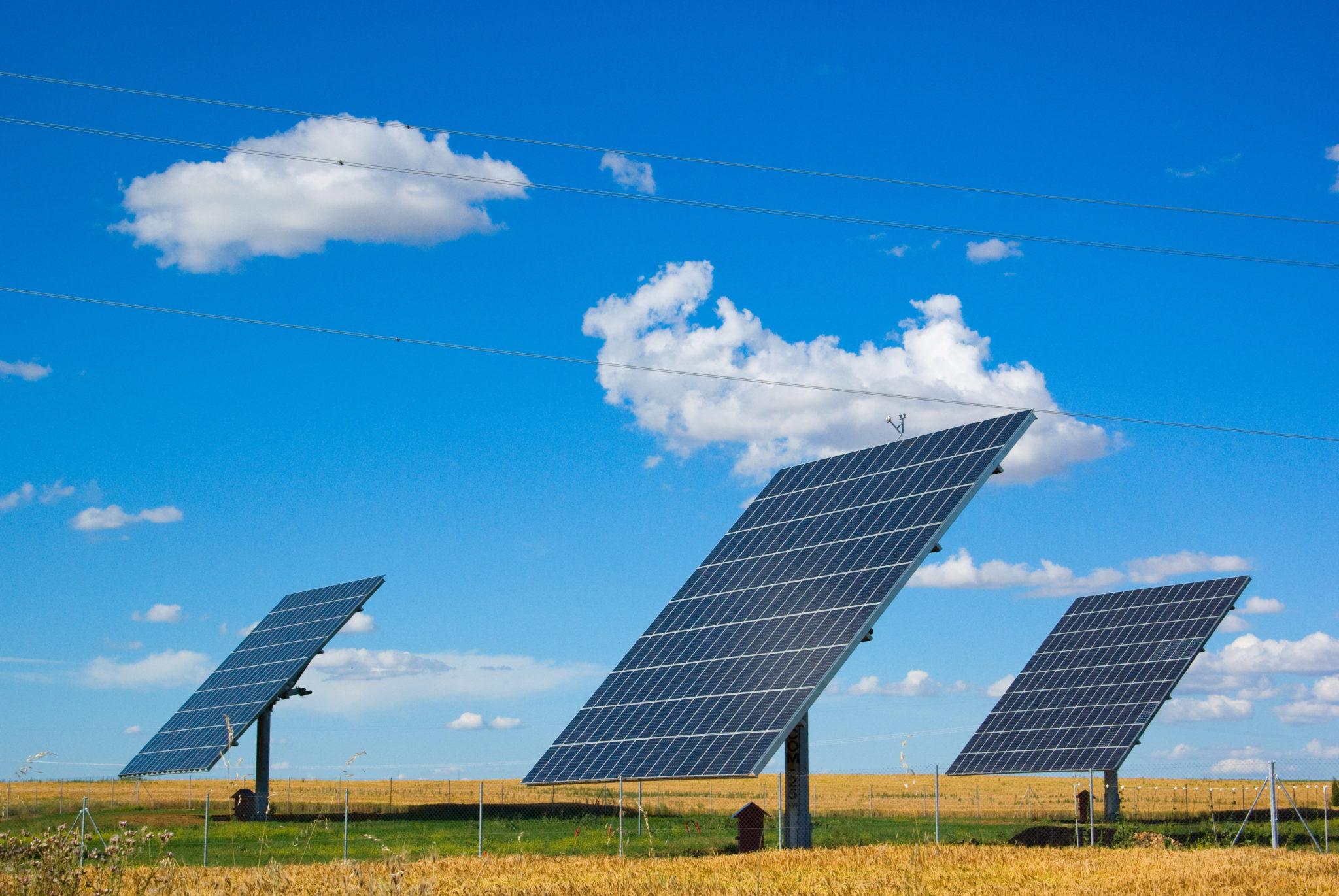
Solar sites are particular in that they need to be inspected annually. UAS technology is the best method of data collection for these annual scans. Flight programs are repeated with such accuracy that it is easy to compare two scans of the same system. So, engineers can detect any changes since the previous flight. They use change detection to spot alterations such as damaged and missing panels.
Using UAS for data collection for large parcels means faster turnaround times for deliverables, more complete and repeatable data sets, fewer return visits to sites, and easy access for year-to-year inspections. What does all of this add up to? UAS means increased efficiency and profitability for your solar project!
Want more information?
This article is part of our Colliers Engineering & Design Webinar Blog Series. We turned directly to the experts who were excited to share their latest technologies, insights and strategies. If you have questions or would be interested in a Lunch and Learn about any of the topics covered, feel free to reach out to our presenters!
Want more information or a private presentation on this topic? Contact Pat VanHaverbeke at pat.vanhaverbeke@colliersengineering.com.