Discover Local History With a Click of Your Mouse

The Benbow Park neighborhood in the City of Greensboro, North Carolina is filled with a rich history. Richard Barron and Nancy McLaughlin at Greensboro.com report that the City is documenting its history with a new $40,000 grant from the National Parks Service’s African American Civil Rights program. This enables an architectural historian to document historic sites, especially sites related to the Civil Rights Movement. This includes continuing to conduct oral history interviews.

What History is There?
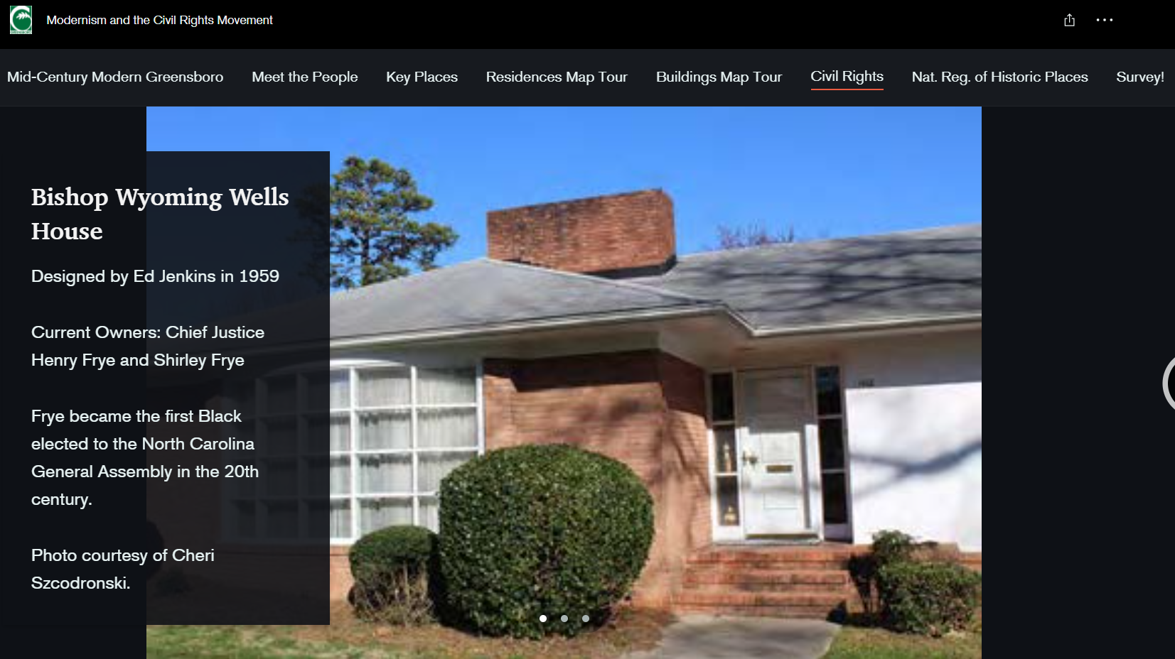
Prominent Black architects and builders created mid-century Modernist residential and religious architecture in this area of Greensboro. They were also the homes of leaders of and participants in the Civil Rights Movement. For example, it is home to Henry Frye, the first African American chief justice of the N.C. Supreme Court. Before him, the late civil rights attorney Kenneth Lee lived there. He strategized from his Broad Avenue home with people like the would-be U.S. Supreme Court Justice Thurgood Marshall and the Rev. Martin Luther King Jr.
Barron and McLaughlin also report that “many of the Black architects who designed houses in Greensboro were proteges of Edward Lowenstein, whose large architectural firm was based in the City. It was the first white architectural firm in the state to hire Black professionals, including W. Edward Jenkins, William Streat, Major Sanders and Clinton Gravely.” The City has already surveyed the area for nomination to the National Register of Historic Places. For more on Greensboro’s history, check out this article too
Our Role
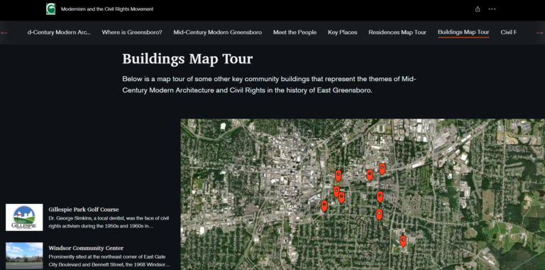
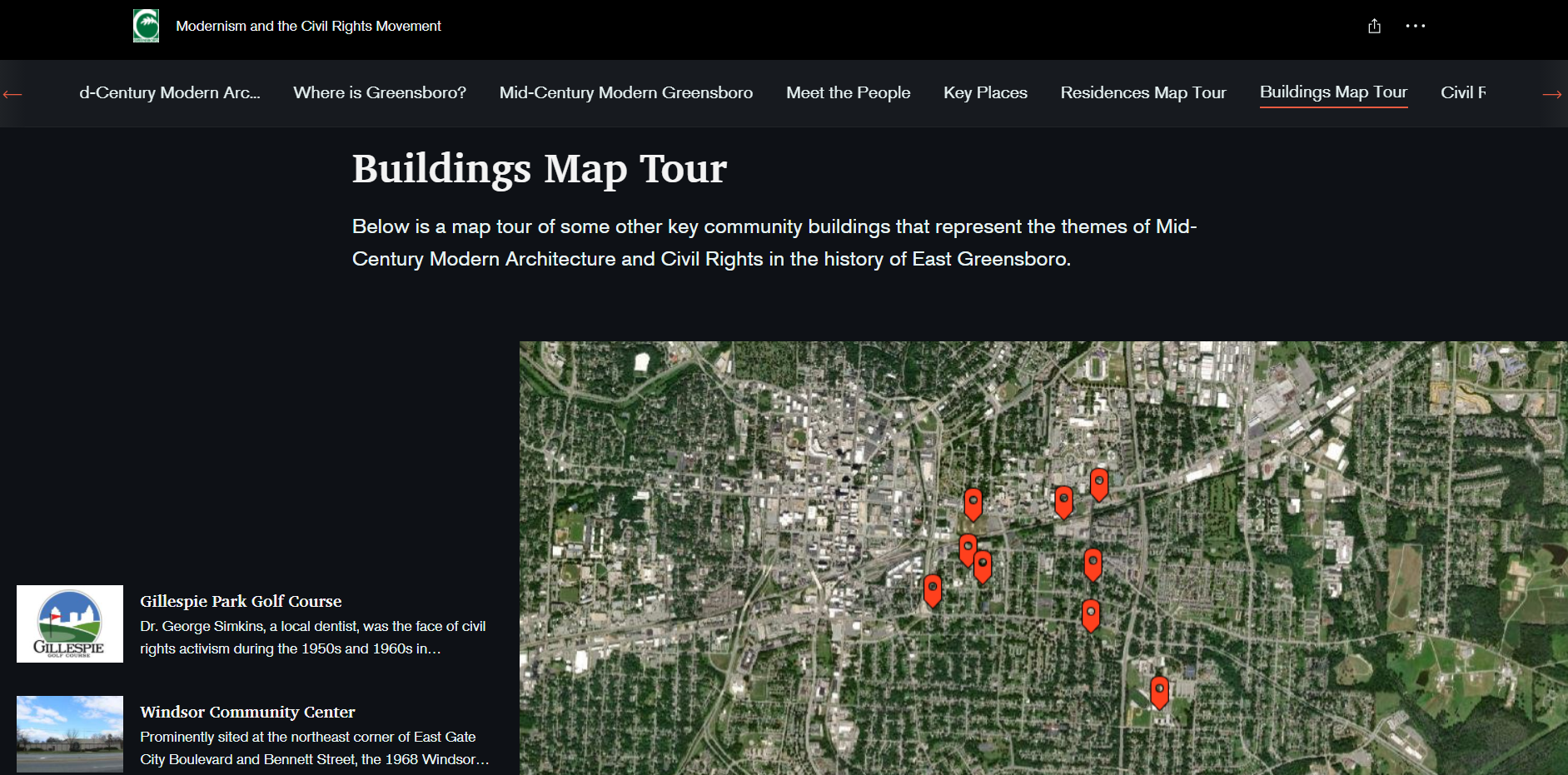
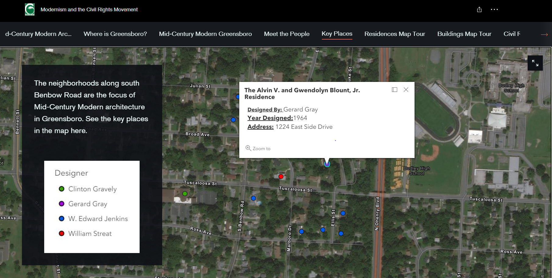
 Story Maps are interactive displays of geographic information. With them you can share details, tell stories, and answer questions. These apps include the web map itself and configurable tools to enable users to interact within the app. So, they combine interactive maps with text, images, and sometimes even videos to tell an engaging story. This is especially helpful for education and outreach. Benefits of this type of map is that it is visually appealing and informative at the same time. Our GIS team created an online “story map” for the City so that the public can easily identify where the historic homes and churches are by looking on the map and learn why they are significant when they click on each location. The map is called “Modernism and the Civil Rights Movement, How Mid-Century Modern Architecture and the Civil Rights Movement converged in Greensboro, North Carolina.”
Beyond being a resource for the public, the map, combined with the other research, will be combined to nominate part of the neighborhood for the National Register.
What’s in the Story Map?

You can access our online story map from any of your personal devices that have internet access. You can walk through all the elements of why Greensboro is significant. To journey inside the map, all you have to do is click on each tab you’re interested in. Don’t know what mid-century modern architecture is but want to understand the basics? Our map explores that as well as where Greensboro is located, in depth history of the architecture and architects, and all the people who made it what it would become. Then, we walk you through the key places, with an interactive map of both residences and other buildings, and deeper explanations of the Civil Rights significance there.
You can view it for yourself here! Explore and learn more!

Comments are closed.