GIS Asset Management
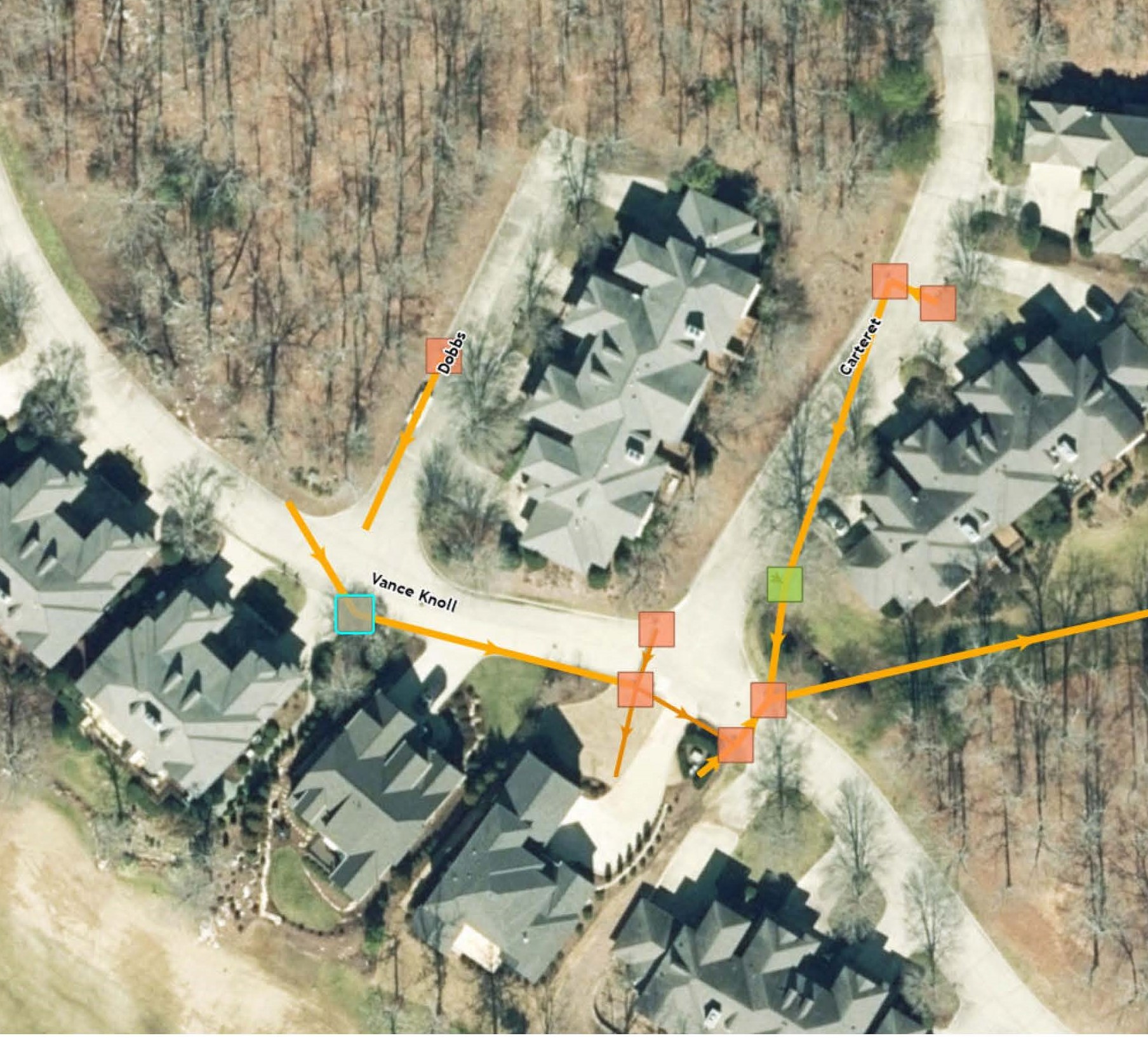
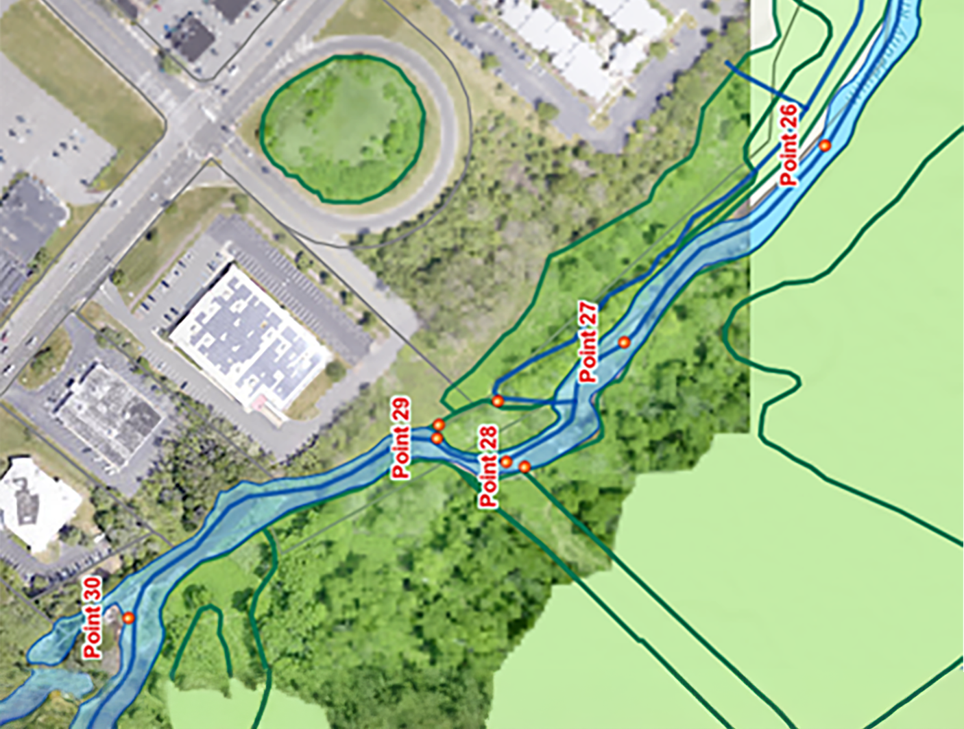
Geographic Information System (GIS) asset management services provide our clients with tools to manage their assets across departments, locations, facilities, and business units. By handling assets through GIS technology, organizations can improve utilization and performance; reduce capital costs; reduce asset-related operating costs; extend asset life; and subsequently improve return on assets. Our certified GIS professionals provide services from the initial GIS needs assessment, through development, implementation, and training. We utilize state-of-the-art methods for mapping, data collection, asset condition, and risk inspections. Once the program is implemented, our clients experience instant benefits including 24/7 access to infrastructure data; increased productivity; and ease of operation and maintenance practices.
Our GIS professionals have expertise in ESRI; AutoDesk; and Trimble software; facility and asset management; stormwater regulations; ASTM pavement inventory; and FHWA standard sign inventory. We provide services to county, municipal, federal, utility authority, tribal nation, educational institute, and private sector clients.
Services
- Database Integration
- Document Management
- GIS & GPS Training
- GIS Needs Assessments
- GIS Program Implementation Plans
- Land Base Mapping
- Mobile Field Applications
- Property Record Mapping
- Public & Secure Web-Based Mapping Portals
- Service Request & Work Order Applications
- Utility Mapping
- Web-Based Asset Management Applications
Let's talk about your next project.
Our multidisciplinary approach to design, combined with a deep understanding of the industry and passion for innovation, has positioned us as leaders consistently delivering outstanding results in shaping the built environment.
Newsroom
Articles

Andrew Clark Joins Colliers Engineering & Design
Colliers Engineering & Design has hired Andrew J. Clark as Geographic Information System (GIS) Senior Project Manager in the firm’s Charlotte, NC office.
Blogs

What Actually Is GIS?
When I went to college down in Florida, I took an environmental science class with one of my friends, Madelyn. One of her minors was in Geographic Information Systems (GIS), and as
Events

Florida League of Cities (FLC) Annual Conference
Come see our team at the 2025 Florida League of Cities (FLC) Annual Conference in Orlando, FL from August 14-16 where we will be


