What Actually Is GIS?
When I went to college down in Florida, I took an environmental science class with one of my friends, Madelyn. One of her minors was in Geographic Information Systems (GIS), and as the confused communications major, I had no idea what it meant.
In this environmental science class, our professor described GIS as fancy maps, but Madelyn was upset, saying there was more to the story than he was letting on.
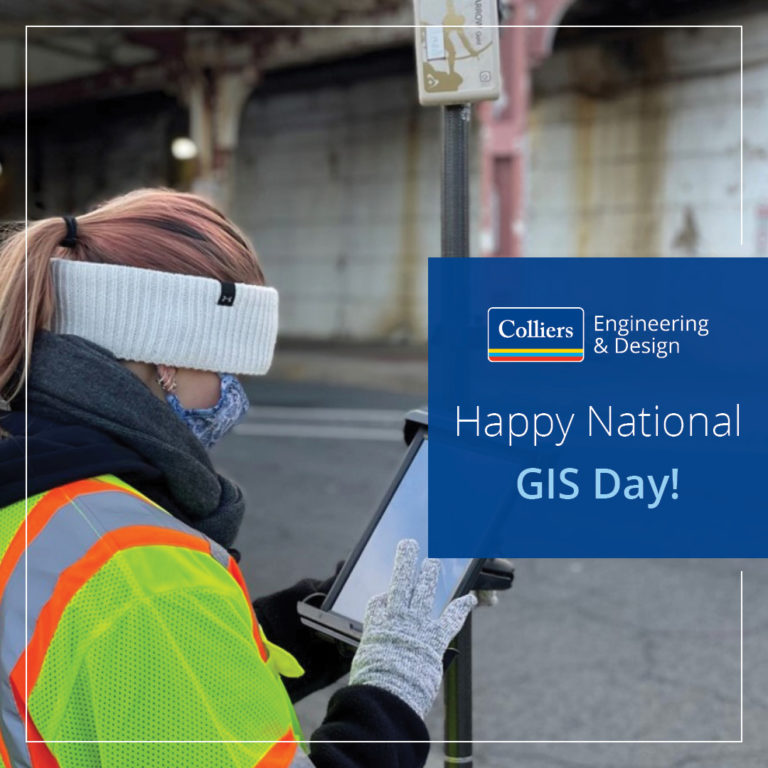
Fast forward a few years, I find myself as a communication specialist sitting in my office desk at Colliers Engineering & Design (CED) wanting to write something about a new holiday I found thanks to the internet, National GIS Day! Not being an engineer, I began my research on the topic, I was still somewhat under the impression that GIS was only those fancy maps my professor had said. And oh boy, was I wrong.
So… What Actually Is GIS?
According to the National Geographic Resource Library, Geographic Information Systems (GIS) are computer systems used for capturing, storing, checking, and displaying data related to their positions on the globe. These maps are often used to display multiple forms of information in individual layers, taking in multiple sources from Global Positioning Systems (GPS) legacy roadway maps and as-builts.
In a sense, they are a fancy map like my professor said, almost a sandwich of maps to make a whole and complete image of information. The systems that hold GIS information are completely programmable and designed to provide visual interpretation of data and incorporate geographic data to meet the client’s needs.
The History of GIS
 Many scientists and GIS technicians agree that British Doctor John Snow was the first person to create a GIS map when he began investigating a cholera outbreak in London in 1854. He mapped the roads, property boundaries and water lines alongside the locations of those sick. Snow’s investigations led to a single waterline being the home of the bacteria, connecting geography to health and safety, laying the foundation for the start of epidemiology, and of course, creating a GIS image by hand.
In 1968, Roger Tomlinson coined the term GIS in a paper discussing modern computing with maps. Following the publication of his paper “A Geographic Information System for Regional Planning,” GIS became the computer-based tool for storing maps and data that we know today.
GIS at Colliers Engineering & Design
To better understand the services we offer, I spoke with Kenton Yearick, Senior GIS Specialist at CED’s Denver, CO. office. He explained that what they do on a day-to-day basis really depends on the type of project they are working on.
Housed under Government Services, the GIS Asset Management Division frequently collaborates with our Water / Wastewater, Planning, Subsurface Utility Engineering (SUE), and Environmental colleagues to assist with their investigations and projects. They work across these disciplines and do a wide variety of things like, collecting field data, providing informative public facing maps and applications to assist our clients in streamlining daily processes and procedures. Many of these maps and applications help keep protected lands safe.
Alongside collaboration with our other disciplines, CED offers GIS Asset Management Services. What does that mean?

Say, for example, you are experiencing a power outage and use your phone to look at the outage map on your electricity provider’s website. That is both GIS and GIS Asset Management! We work with county, municipal, federal, utility authority, tribal nation, educational institute, and private sector clients to create comprehensive, interactive maps that give 24/7 access to their critical infrastructure information, easing operations for them and their staff.
The system used by our GIS professionals not only enables clients to get real time updates on the utilities they manage, but it can also be customized to include asset maintenance records, condition and risk assessments, price estimations for repairs and replacements — even asset photos.
GIS Asset Management isn’t just used for the management of utilities. It can be utilized for managing facilities, assets above ground and below such as: vehicles, transportation components, university campuses, park amenities, and more! Plus, with the advancements in modern technology, phones and other smart devices can be used to create digital reports and inspections from anywhere.
Want to know more about GIS Asset Management? Check out this article about the work we did with the Brick Township Municipal Utilities Authority.
GIS Is Everywhere!
Much to my surprise, GIS is used a lot of places with today’s technology. For example, when you go to CED’s website and click on our Office Locations tab, you will see a GIS map! This system shows the number of CED office locations on the map, and by clicking on a location you can see the most important information highlighted in a pop up. Kenton explains that maps and systems like this are essential for communicating important information across a variety of audiences and stakeholders.
Using maps on my phone to get around is another form of GIS, and can be especially helpful when people report accidents on the parkway! If I went to Google to try and find the nearest gas station to my location, that is GIS. If you were like me and thought these maps were from Global Positioning Systems (GPS), you are not totally wrong!
Kenton elaborated that GPS is just one of the many components that make up GIS. GIS almost acts like a jigsaw puzzle; you need to see all the pieces together in order to get a clear view of the final product. The GPS satellites help provide points of reference and locations into a GIS program, which will then be used to get you the information you need.
Conclusion: GIS is WAY More Than Fancy Maps

After my call with Kenton, I immediately started looking into what else could possibly be GIS that has been hiding in front of my face. I never expected something that sounded so complicated to me before to be found throughout my day-to-day life!
You can expect to read more blogs like this as I dive into learning more about all CED has to offer.
This GIS Day, I hope you can use this blog as a guide to find how GIS is being used all around you. Thanks for exploring the world of GIS with me and I’ll see you the next time I ask, “What Actually Is!”
Comments are closed.