Engineering technologies aren’t just for engineers. Mobile and web-based Geographic Information Systems (GIS) can help communities come together and increase engagement by connecting everyone with information about what’s going on in their town. How? With web maps!
What are Mobile and Web-Based GIS?
Web Maps are interactive displays of geographic information. With them you can share details, tell stories, and answer questions. These apps include the web map itself and configurable tools to enable users to interact within the app. Esri is the global market leader in GIS, and the ArcGIS mapping and analytics platform. Our company has been a Silver Partner with Esri since 2017, and work closely with them to help our mutual clients implement GIS.

Users can access GIS maps and data from a server through a web browser or app on a mobile device. This includes tablets or phones in the field as well as desktop computers. Particularly noteworthy is that no special or costly software is necessary to view web maps and apps. So, there is no major financial barrier to implementation.
How are Web Maps Used?
Local governments can use web maps to disseminate information to the public, from property lookup and zoning maps to activities like DPW leaf pick up, street sweeping, and recycling.
Also, map services have been particularly helpful during COVID-19. For example, restaurant and retail store owners have been able to use them to share information about hours of operation, online ordering, and more. Perhaps most notably, web maps made hours of operation and contact information for health centers and testing sites more easily accessible.
Focused Applications
Certain aspects of local government may require focused applications to adequately communicate important information and details. These apps are customized based on specific needs. A few common examples would be apps for public events: festivals, parades, farmer’s markets, voting and elections. Also, road maintenance and closures, tax parcel viewers, trash pick-up, snow plowing, and even mosquito control.
Also, focused web maps can produce reports about specific events and notify affected residents within a specific search radius. They can generate maps of the affected population and create mailing labels to notify of them of details they need to know such as detours or emergency situations.
A basic application for events would, for example, include points for each event and a way for the public to search based on event type or location. Event information can include a summary of the event, dates, event address, link to external website, and more. Municipalities can include information for all future events to increase tourism revenue and local participation. The app’s Event Maps Gallery can give the public easy access to site maps and logistics for parade routes, parking areas, barricades, restrooms, security, staging areas of parades, festivals, concerts, etc.
The public can use the Park Locator web app to locate park or recreation facilities including municipal, county and state parks. Users can filter by location or activity type and amenities. Again, these are accessible via desktop or mobile devices.
Convenient, Efficient, and User Friendly Story Maps
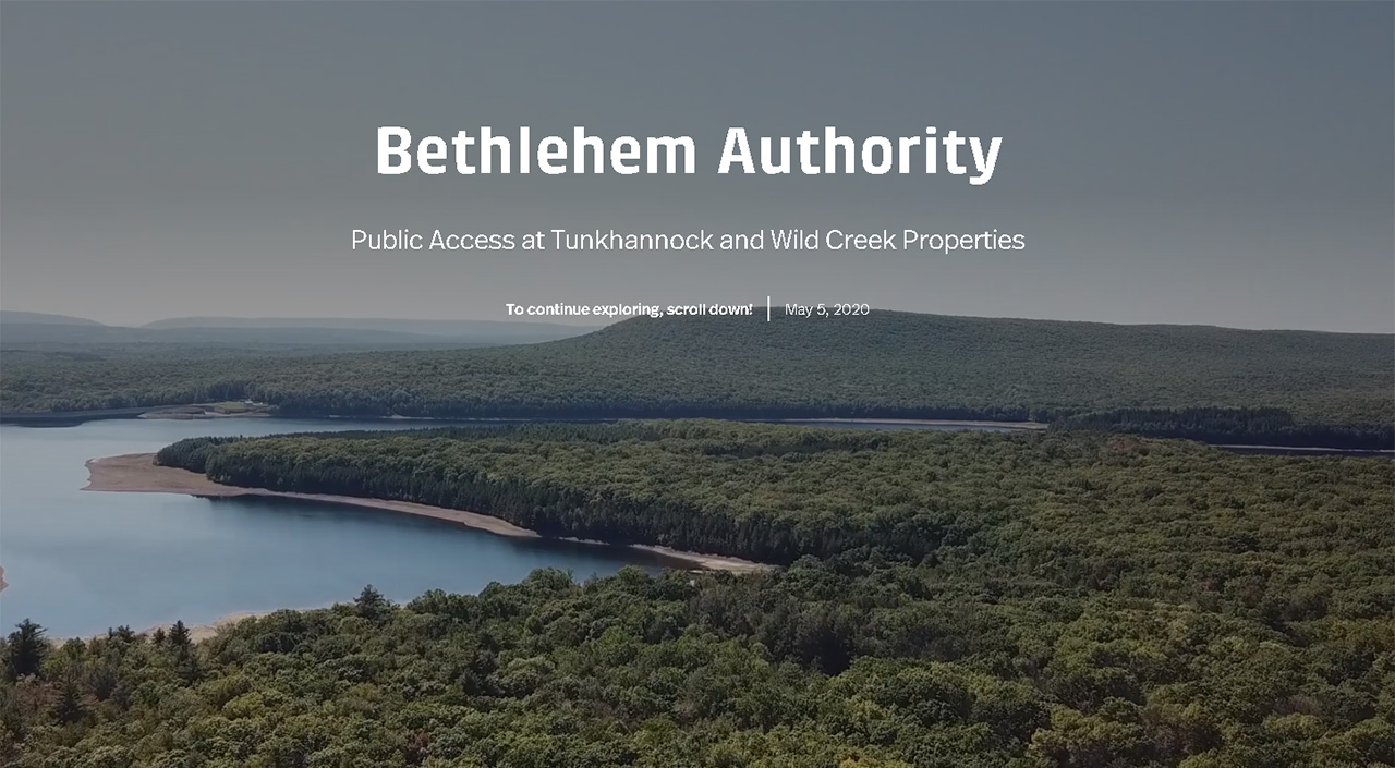
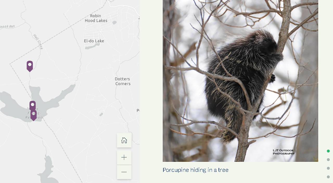
Story Maps combine interactive maps with text, images, and videos to tell an engaging story about the facility. This is especially helpful for education and outreach. Benefits of this type of map is that it is visually appealing and informative at the same time. These maps are meant to supplement existing web sites to show an overview of a town, public outreach, historic properties and districts, and planning and zoning. Take a look at this story map we created with the Bethlehem Authority Watershed.

Town meetings are not always the most efficient way to hear from every member of a community. Now, citizens can report straightforward problems online. GIS is an easy tool to solicit input and feedback from citizens. Community members can submit location-based observations and issues such as potholes, downed trees, or other hazardous conditions as soon as they occur.
Overall, implementing mobile and web-based GIS can inform and engage the community in a variety of helpful ways. Citizens and visitors alike can find information about community events and local businesses to increase tourism and revenue. They provide a convenient space for citizen feedback to address issues faster and more efficiently than ever before. Being web-based, they offer the convenience of being available to the public with 24-hour access.