
-
Behind the Scenes: UAS Taking Flight
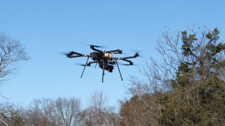
In this new blog series, I want to combine my love of writing with the learning opportunities I get in the field and give you a behind the scenes look at the... ... Read More
-
Q&A with Aimara Diaz La Rosa, PSM, Geographic Discipline Leader, Survey/Geospatial

Aimara Diaz La Rosa, PSM discusses among other things some of the exciting new construction building projects she’s involved with in the Miami area. ... Read More
-
US Air Force Veteran Commended on HonorAir Knoxville Flight

Colliers Engineering & Design Senior Project Surveyor Rhonda Ellison, RLS, CFS, was one of 144 Veterans selected to join HonorAir Knoxville’s Flight 31 commemorating women veterans on October 12. As a young... ... Read More
-
NavVis VLX Indoor Mobile Mapping System

The NavVis VLX indoor mobile mapping system (IMMS) enables us to scan and store every detail about a building simply by walking through the space. ... Read More
-
It’s National 811 Call Before You Dig Day!

It’s August 11, or 8/11, and you know what that means… It’s National 811 Call Before You Dig Day! As a reminder to residents and excavators alike, calling 811 to locate your... ... Read More
-
Experts Choose Experts: Adaptive Reuse in NYC

New York City is home to 8.38 million people, according to the 2020 census. Since our country’s inception in the 1700s, NYC has been a center of commerce and culture. That being... ... Read More