-
Engineering a Safe Back to School

Engineering a New Normal It’s the end of September, and the past month has been very different for everyone. Across the country, schools have not agreed whether to be online, in-person, or... ... Read More
-
Where’s Wygant 2020
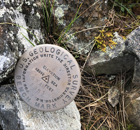
When Clay Wygant first came to Colliers Engineering & Design, it was his job to develop a Mobile LiDAR division. So, this geospatial man-on-the-move began by setting out with his crew and... ... Read More
-
Choosing the Right Technique for Surveying Railroads
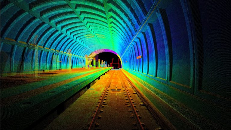
Various surveying techniques are available to provide railroads with the optimum survey results required to accommodate specific projects. Surveyors look at the project characteristics and anticipated project deliverables and recommend the appropriate... ... Read More
-
Surveying Substations with LiDAR
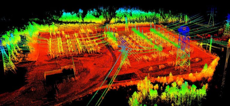
Surveying Substations Surveying substations is complicated. And believe it or not, conventional survey can increase the complexity. So, what are your options? Well, they all revolve around the use of LiDAR! But... ... Read More
-
Building Information Modeling (BIM)
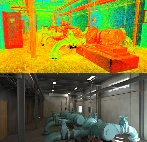
What is BIM, and why should you implement it into your architecture, engineering, and survey plans? BIM, or “Building Information Modeling” is a process of building highly accurate, measurable 3D models that... ... Read More
-
A Look at GIS: You’ve Come a Long Way, Baby!
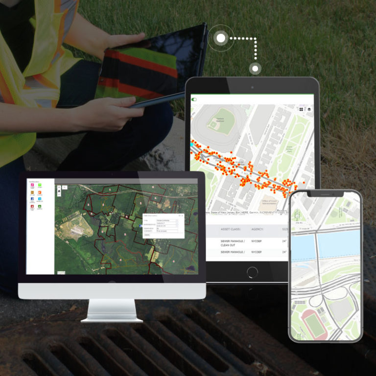
Discover and learn how a GIS program can help organize the management of key infrastructure assets! [vc_row][vc_column][vc_video link=”https://youtu.be/cftVlMekXno”][/vc_column][/vc_row][vc_row][vc_column][vc_column_text] Geographic Information Systems. Think about it. GIS locates assets in the field with Global... ... Read More

