-
 VIEW
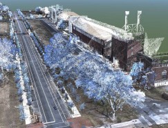
VIEWWMATA Mobile LiDAR Survey
Washington, D.C. -
 VIEW
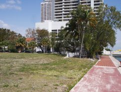
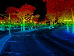
VIEWPsomas/Caltrans Sonoma Highway 101 Scan
City of Cloverdale, Sonoma County, CA -
 VIEW
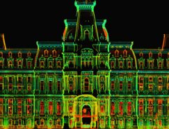
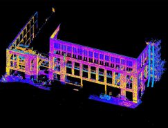
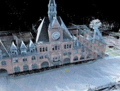
VIEWPhiladelphia City Hall 3D Laser Scanning
City of Philadelphia, Philadelphia County, PA -
 VIEW
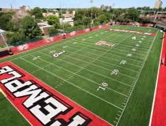
VIEWTemple University Synthetic Turf Field Replacement
City of Philadelphia, Philadelphia County, PA -
 VIEW
VIEWPhiladelphia University 3D GeoDesign Modeling Program
City of Philadelphia, Philadelphia County, PA -
 VIEW
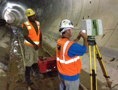
VIEWEast Side Access Tunnel to Grand Central Terminal
Long Island & Manhattan, NY -
 VIEW
VIEWNYCDOT Queens Boulevard Vision Zero Survey
Queens Borough, New York City, NY -
 VIEW
VIEWUniversity of Connecticut Hartford Campus
Downtown Hartford, Hartford County, CT -
 VIEW
VIEWNYCDOT Woodhaven Boulevard Vision Zero Survey
Queens Borough, New York City, NY -
 VIEW
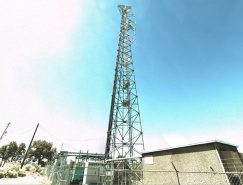
VIEWBeaver Ridge AT&T Antenna & Loading Inventory
Beaver Ridge, Sanpete County, Utah -
 VIEW
VIEWLiberty State Park Ferry Terminal Reconstruction
City of Jersey City, Hudson County, NJ -
 VIEW
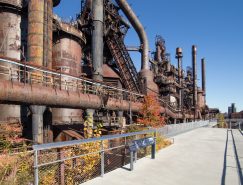
VIEWHistoric Hoover-Mason Trestle Conversion
City of Bethlehem, Northampton County, PA -
 VIEW
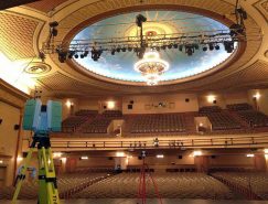
VIEWCount Basie Theater Laser Scanning
Borough of Red Bank, Monmouth County, NJ -
 VIEW
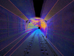
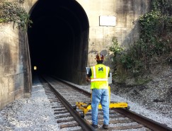
VIEWCSX Tunnel Hill Vertical Clearance Survey
Town of Tunnel Hill, Whitfield County, GA -
 VIEW
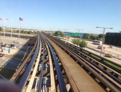
VIEWChicago O’ Hare Airport Mobile Mapping
City of Chicago, Cook County, IL -