Chicago O’ Hare Airport Mobile Mapping
City of Chicago, Cook County, IL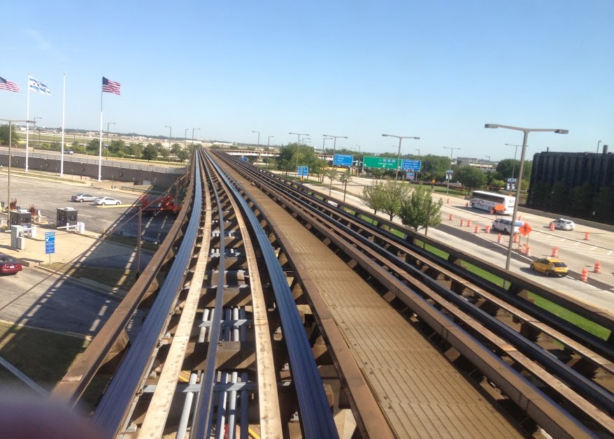
Chicago O’ Hare Airport Mobile Mapping
City of Chicago, Cook County, IL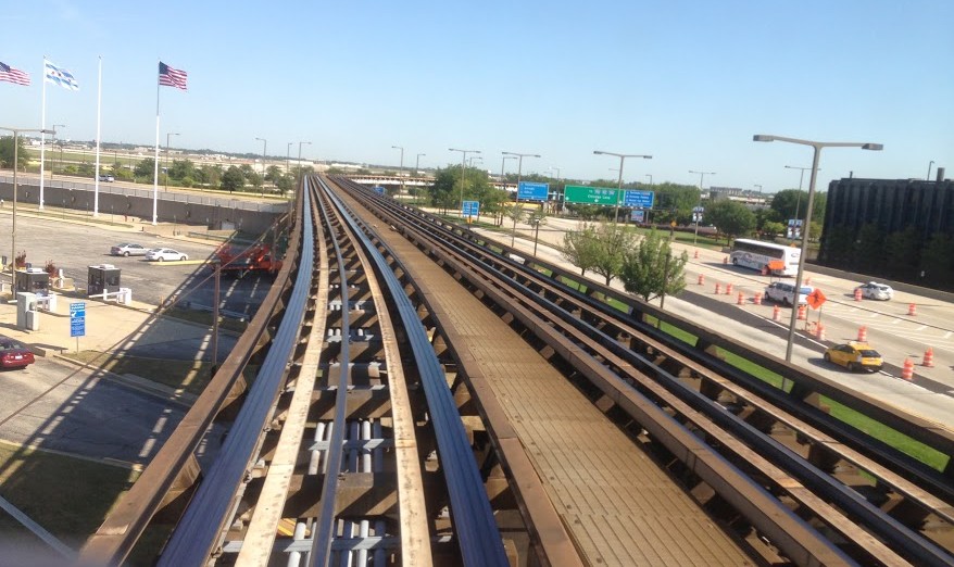
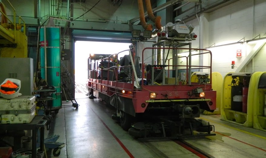
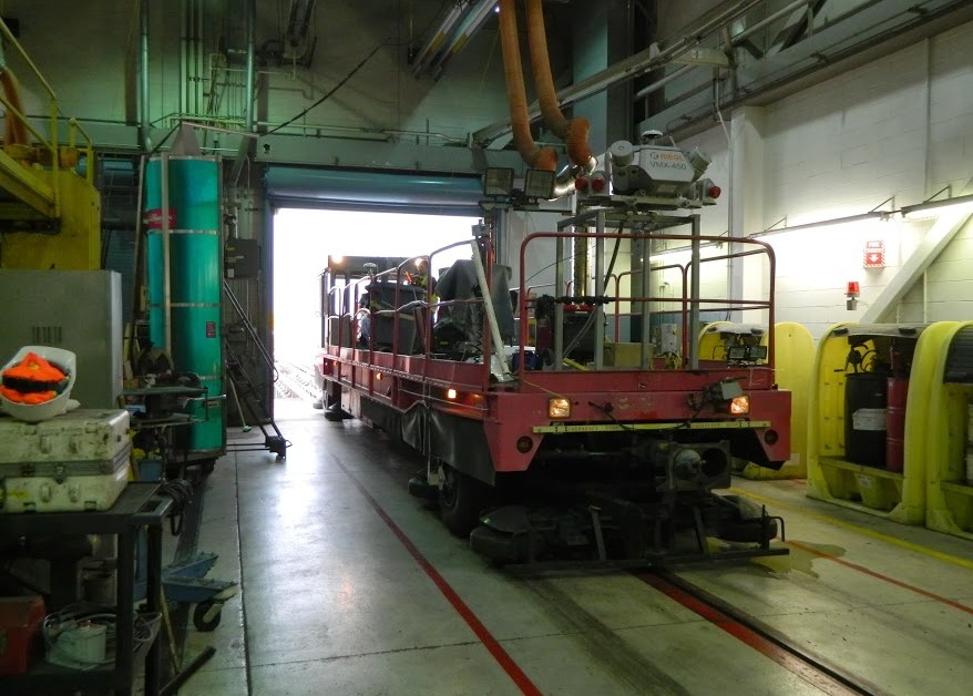
Performed a mobile mapping of the people-mover that transports pedestrians between terminals at Chicago’s O’Hare International Airport. The LiDAR Team acquired highly accurate, 3D survey design information that will enable the Airport to replace the entire network of steel for this transit system. One of the complexities of this project was developing a means by which to test, calibrate, and physically collect the data on this unique structure prior to the actual scanning. Since the people-mover train is a non-standard rail car running off dual 750 volt energized rails, the LiDAR equipment was mounted to the Maintenance-of-Way (MOW) vehicle.
The data was collected in long GPS outages to visualize details of ¼” or smaller in the point cloud data for precise feature extraction and controlled to meet a 0.03’ absolute accuracy specification. A rack mount system was built to accommodate the MOW’s attachment plates which enabled the Team to get enough vertical clearance to clear the rear coupling, so as to not interfere with the LiDAR sensor’s line of sight. Field measurements were made to calibrate the Inertial Measurement Unit (IMU) to the Distance Measurement Instrument (DMI), and to position the equipment for a direct positional reference frame.
SERVICES
- 3D Hi-Definition Laser Scanning
- Land Survey
- LiDAR Mobile Mapping
- Rail & Tunnel