NYCDOT Queens Boulevard Vision Zero Survey
Queens Borough, New York City, NY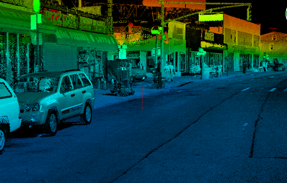
NYCDOT Queens Boulevard Vision Zero Survey
Queens Borough, New York City, NY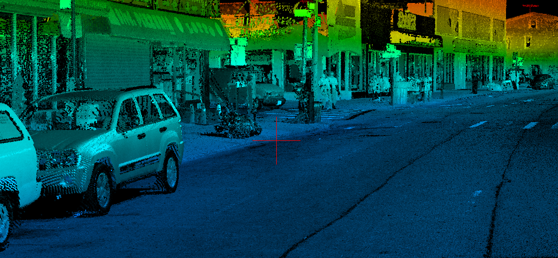
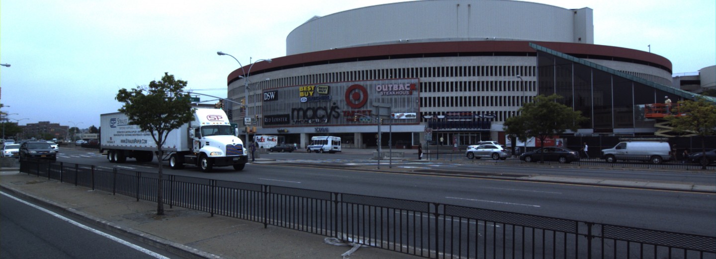
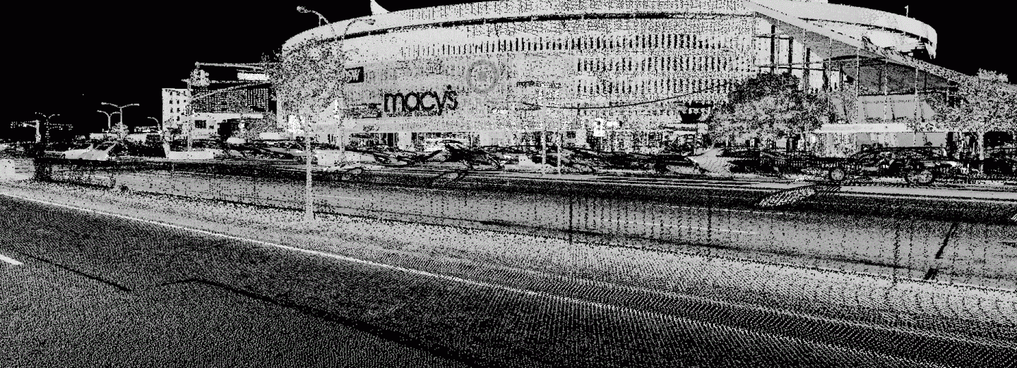
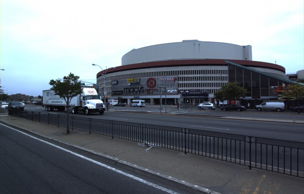
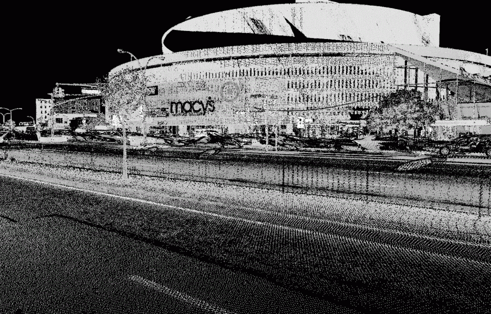
Performed Mobile LiDAR Mapping data acquisition and line work extraction of 29,000 LF of a 200’ wide corridor of Queens Boulevard, containing two main arterial roadways and two service roads. The survey work, included in Phases 1 – 3 of the project, was performed as part of the New York City Department of Transportation’s Vision Zero initiative to make City streets safer for pedestrians.
The scope of work included the preparation of clean base plans and topographic mapping in accordance with Section 1-6 of the City of New York Department of Design and Construction, Division of Safety & Site Support, Technical Requirements for Surveying Services, for the Division of Infrastructure. All line work was extracted in 3D to allow for site features to be extracted within the exact 50′ baseline station intervals, which aided in the preparation of utility and highway profiling. Map preparation took approximately four weeks per phase to complete.
SERVICES
- 3D Hi-Definition Laser Scanning
- Land Survey
- LiDAR Mobile Mapping