Philadelphia University 3D GeoDesign Modeling Program
City of Philadelphia, Philadelphia County, PA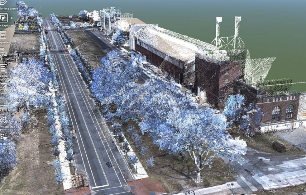
Philadelphia University 3D GeoDesign Modeling Program
City of Philadelphia, Philadelphia County, PA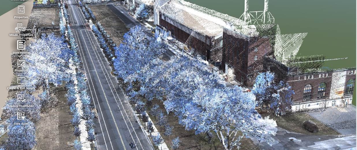
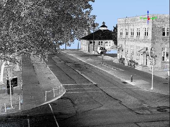
Provided professional survey and GIS services to conduct 3D terrestrial scanning and static LiDAR data collection of Philadelphia’s Germantown District, Philadelphia University’s Main Campus area, and the Philadelphia Navy Yard, in order to provide GIS course material for a 3D GeoDesign program at the University’s College of Architecture and the Built Environment. Part of the project involved researching suitable software for the storage, access, and use of the project data in order for the University to provide planning and design concepts for the redevelopment of various sites in the Philadelphia region.
Colliers Engineering & Design utilized cutting edge geospatial technology, including 3D hi-definition laser scanners and the Riegl VMX-450 Mobile LiDAR Mobile Mapping System to gather precise topographic and geospatial data. Our GIS professionals cataloged existing datasets for use during the project, to ensure the quality of data overlays and accuracy checks, as well as the quality of future data collected.
SERVICES
- 3D Hi-Definition Laser Scanning
- GIS
- LiDAR Mobile Mapping