The Hidden Value of Brick Pond: Preserving Natural Resources Through Wetland Delineation
Known as one of the best birding spots in New York State, Brick Pond in Owego, NY, features thirty acres of open water surrounded by emergent plants and wet woods. Having transformed over time from an industrial operation to a protected wetland and nature preserve, this site has a rich and captivating history.
As a crucial habitat for many of our natural resources, wetlands need to be maintained. “Wetlands are a rich source of nutrients: they help prevent pollutants from getting into our public water sources; help mitigate against rising global temperatures; and are a great hotspot for endangered species” according to Jacob Erle, Natural Resource Scientist and Certified Wetland Delineator in New York State.
From Clay to Conservation
Originally known as the site of the Hollenback Brickyard in the 1800s, Brick Pond was used to extract clay and manufacture bricks, some of which were used to build the first brick house in Owego. Over the decades, the land changed hands, and was inherited across generations, until it came into the possession of Peter B. Ellis, who remembered his father’s interest in turning it into a park. Coincidentally, around the same time, New York State passed the Wetlands Act, which protected areas such as the Brick Pond from commercial development or degradation. As a result, Peter started contacting adjoining owners to make his father’s dream become a reality.
The collected land, totaling twenty-four acres, was deeded to the Tioga Conservation Education Center (now known as the Waterman Conservation Education Center). The remaining six acres were only agreed to be sold if they were given to the Tioga Boys and Girls Club. To help manage the thirty acres collectively, the Waterman Conservation Education Center, the Tioga Boys and Girls Club, Tioga Soil and Water, and Peter Ellis formed the Brick Pond Committee. The group worked together to establish trails, a footbridge, and manage the land to promote native wildlife and recreational uses.
Where Conservation Meets Community Education
“Brick Pond was trying to increase public awareness and increase visibility, but extremely intricate permitting processes were needed,” Erle observed. In this case, he needed to get approval from the local zoning board and, since this area is a state-mapped wetland by New York State, it required additional permitting approvals.
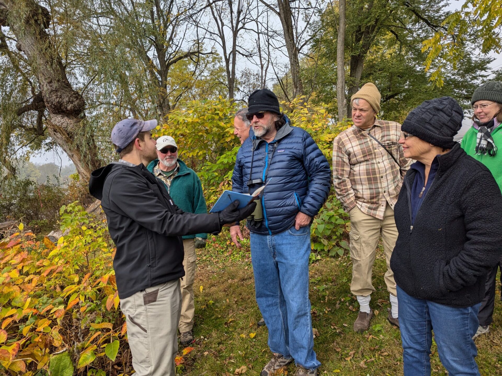
As a result, the director of the Conservation Center thought it was crucial to do a wetland delineation, which took its course. “However, after the delineation was done, members of the Conservation Center and the general public had many questions about what was involved in wetland delineation: what it is about, why we need to do it, and how it is helpful. And that is where the Conservation Director, Christophere Audette, brought me,” Erle said, explaining how this opened the door to provide a technical walkthrough.
Understanding Wetlands
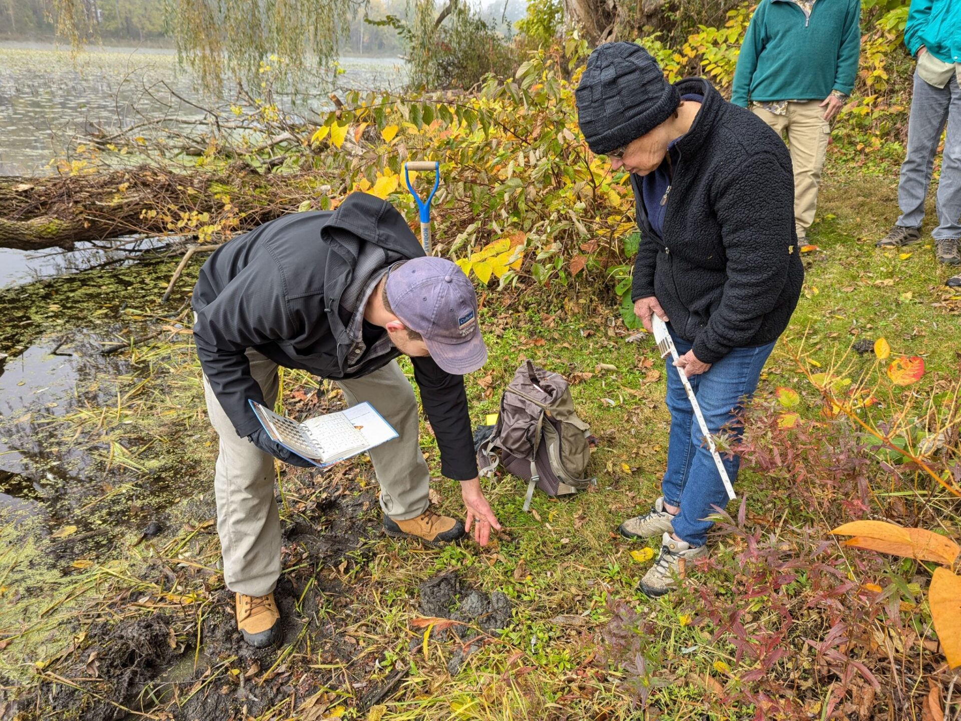
Conducting a comprehensive wetland delineation is a crucial first step in any project that may impact sensitive environmental areas. “As wetland delineators, it’s our job to identify what makes a wetland, a wetland and map out the area,” Erle emphasized. “When mapping the wetland, mapping points of the wetland boundary, the interface between aquatic wetland and dry upland area. “
There are three criteria wetland scientists consider in the Northeast US to determine if a given area is considered a wetland or not. They evaluate the presence of hydrology, looking for signs of continuous or seasonal water presence, soils with signs of water saturation, and vegetation that is adapted to grow in water or periodically flooded soils. This field work goes together with a thorough desktop review, consulting resources like web soil surveys, floodplain hazard area maps, national wetland inventories, state-mapped wetlands, and endangered species databases. “Armed with this detailed delineation, we can then advise our clients on project designs and permitting considerations, in relation to the applicable regulatory requirements from agencies like the NYSDEC or Army Corps of Engineers (USACE). This ensures projects are designed to minimize impacts to the wetland, enabling us to incorporate any necessary mitigation measures upfront. By taking a comprehensive, science-based approach, we help our clients navigate the complexities of wetland protection while sustainably keeping projects on track,” he noted.
About Jacob Erle
A seasoned Natural Resource Scientist with eight years in the field, Jacob Erle brings a comprehensive approach to environmental services, specializing in aquatic resource delineations, functional assessments, tree surveys, and endangered species habitat evaluations. Beyond his fieldwork, he shapes the next generation of environmental stewards as a guest speaker and Trade Committee Member at Broome-Tioga BOCES in Binghamton, NY, where he shares his passion for environmental education.
For more information regarding our Natural Resources, and wetland delineation services contact Jacob Erle, Natural Resource Scientist.


Comments are closed.