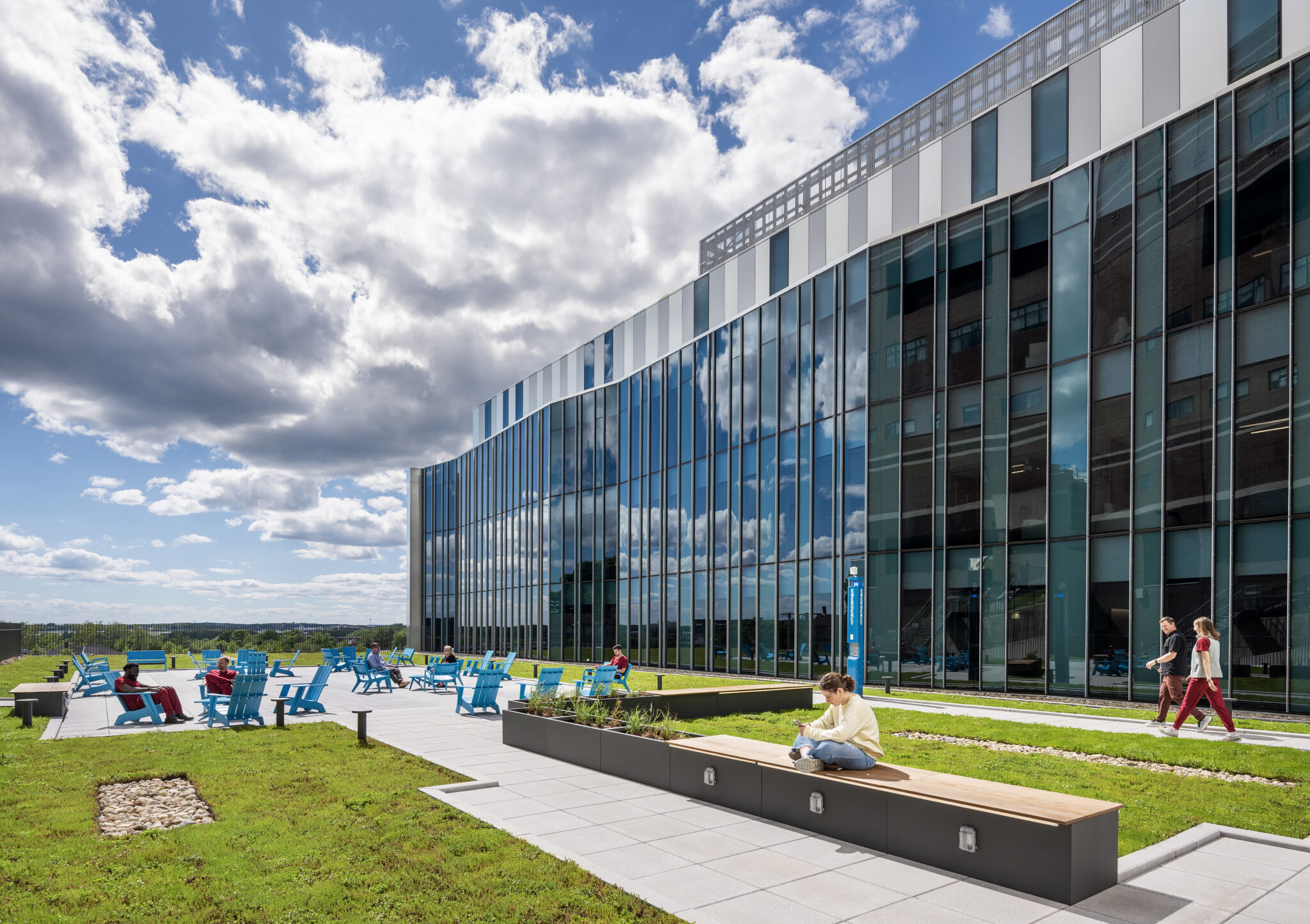

The Return of the Private Developer: Why the Right Civil Engineering Partner Matters More than Ever
Private developers are making a comeback. Learn how the right civil engineering partner can help navigate infrastructure, entitlements, and growth.
The Vital Role of Surveying in the Carolinas
John Gibson shares the behind-the-scenes importance of surveying in a variety of clients across the Carolinas.
Colliers Engineering & Design Welcomes Jimmy Stewart, PE to Southeast SUE Team
Discover how Jimmy Stewart’s strategic hire drives our regional growth.

Navigating Federal Jurisdiction after Sackett v. EPA
Environmental expert George Buchholz explains how the Sackett ruling impacts wetland jurisdiction, permitting strategies, and site planning.

Preserving our Capital’s History through Survey
How Colliers Engineering & Design is Preparing Washington, DC for the 250th Anniversary of the United States.
Adapt and Grow: Keeping Up With Florida’s New Stormwater Regulations
Navigating SB 7040 and ERP Updates with Colliers Engineering & Design.

RE+ Las Vegas
We’re heading to Las Vegas for this year’s RE+ Las Vegas! Stop by our booth to meet our experts – they’re ready to discuss how we support solar energy and battery energy storage projects from concept to completion. From site selection and permitting to engineering, utility coordination, and construction support, our multidisciplinary team helps clients navigate every stage of development with confidence. Be sure to say hello to our experts and explore how we can support your next project through all phases and levels of complexity.

2026 Advanced Energy Conference
The future of energy depends on innovation, adaptability and collaboration – and we’re excited to be part of the conversation at this year’s Advanced Energy Conference (AEC). Hosted by the Advanced Energy Research and Technology Center at Stony Brook University, this year’s conference theme, “Adapting the Course: Innovation for a New Energy Era,” explores how emerging technologies, evolving markets and changing climate goals are shaping the next generation of energy solutions. Our team looks forward to connecting with industry leaders, developers, agencies, and municipalities to discuss how we help bring clean energy projects to life. From solar, battery energy storage,…
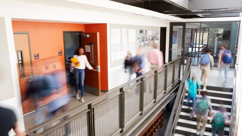
2026 NJSBA Workshop
Attending this year’s New Jersey School Boards Association Workshop? We will be there from October 19-22! Stop by our booth to discss how our team carefully plans and coordinates with you to implement a diverse range of methods to optimize learning environments. From initial planning to design, we create inspirational spaces where current and future generations of students feel inspired, thrive, and succeed in the classroom. At Colliers Engineering & Design, we understand that success derives from prioritizing student and staff’s health, safety, and well-being first. With purpose and close collaboration, we build cost effective, customizable solutions that meet your…