Perspectives
Perspectives

Navigating Federal Jurisdiction after Sackett v. EPA
Environmental expert George Buchholz explains how the Sackett ruling impacts wetland jurisdiction, permitting strategies, and site planning.

Preserving our Capital’s History through Survey
How Colliers Engineering & Design is Preparing Washington, DC for the 250th Anniversary of the United States.

Adapt and Grow: Keeping Up With Florida’s New Stormwater Regulations
Navigating SB 7040 and ERP Updates with Colliers Engineering & Design.

Every Rung of the Ladder: How Mustafa Dolan Earned His RPLS
Meet Mustafa Dolan, RPLS — a project manager who climbed every rung of the surveying ladder, from field crew to licensed professional, bringing two decades of Texas infrastructure experience to every project.
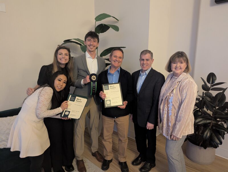
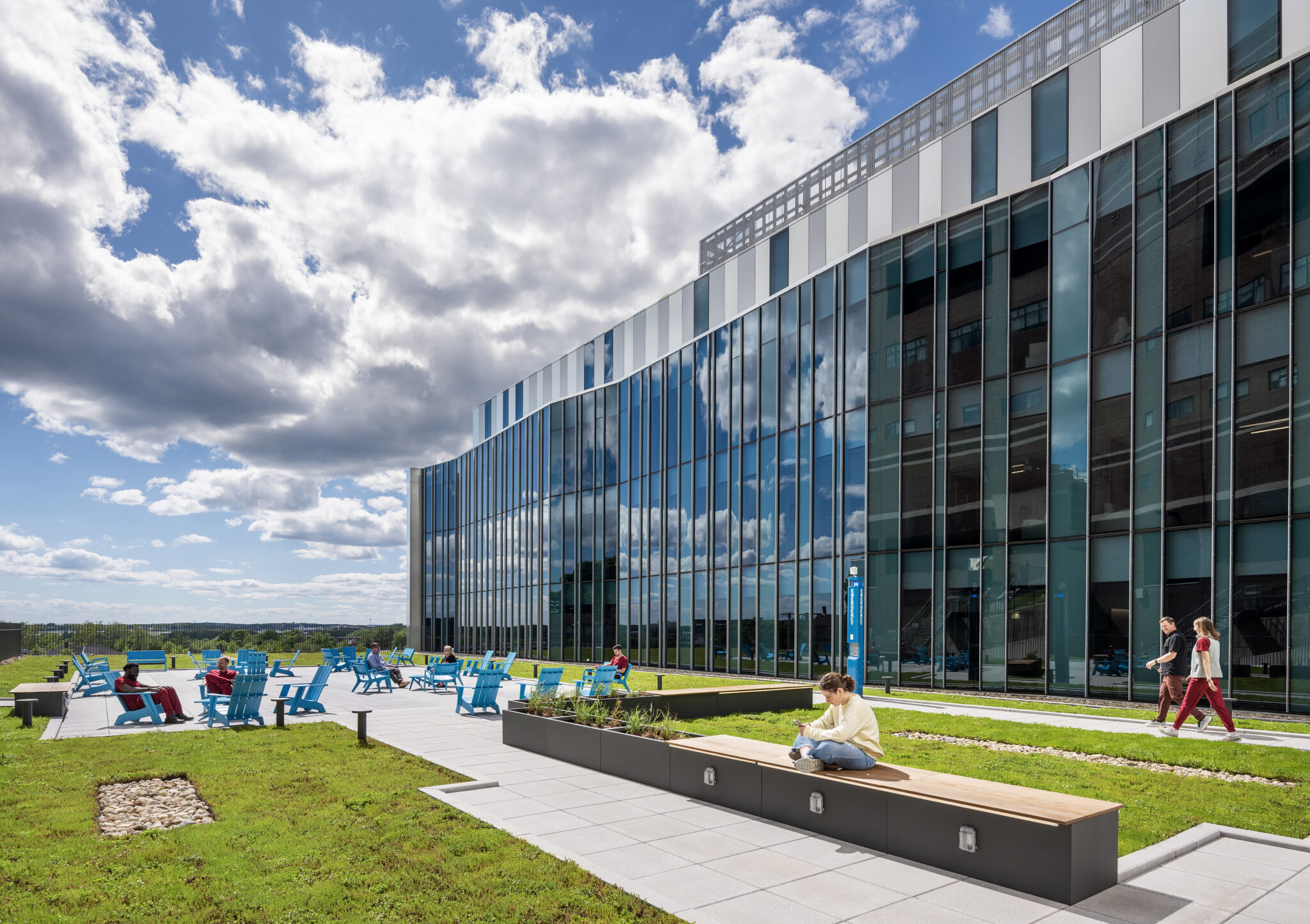
Saunders Finger Lakes Museum Project Earns Two Honors from New York Upstate ASLA
Learn how the Saunders Finger Lakes Museum project earned a Merit Award and Climate Action Green Ribbon from the New York Upstate ASLA for its climate-conscious design approach.
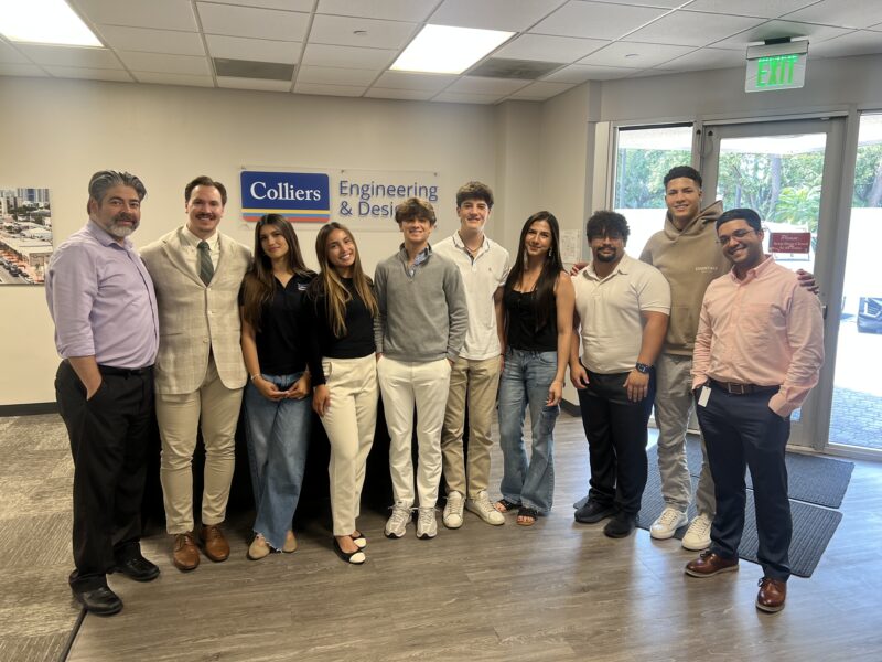
Investing in the Future: Building the Next Generation of Land Development Engineers
Learn how Colliers Engineering & Design’s Civil/Site Division is investing in future engineering talent through its Intern Accelerator Program and high school shadowing initiative.

We’re 24 on ENR’s Top 500 Design Firms
Accelerating the success of our clients
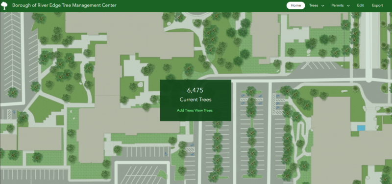
Our Customized GIS Solution for Tree Management
Learn how River Edge Borough is utilizing our stormwater and tree management applications!
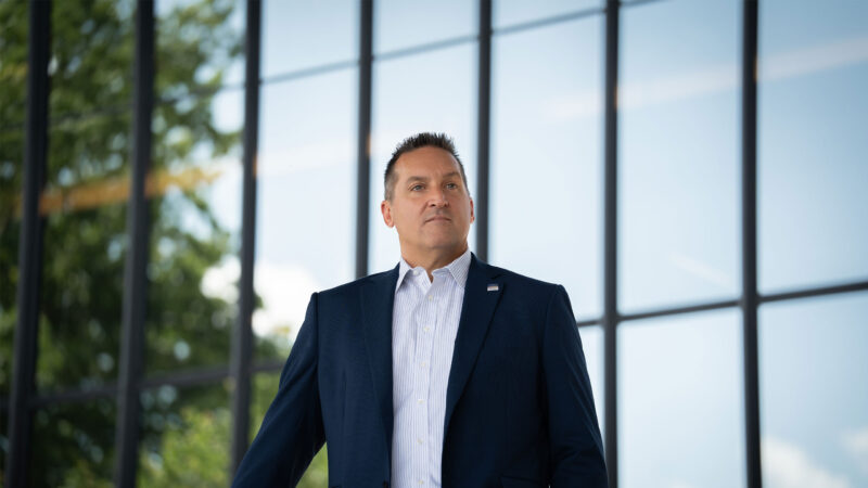
AI, Leadership, and Growth: A CEO’s Perspective on the Future of AEC
Kevin Haney discusses AI strategy, leadership development, and sustainable growth in the AEC industry on The Civil Engineering CEO Podcast.