Survey/Geospatial
Accuracy in measurement is an essential building block in the successful launch of any project. Our ability to measure geospatially from the air, ground and subsurface to provide precision data interpretation is what sets us apart as a leader within the industry.
Our professionals provide a full range of geospatial survey and mapping services that enable us to collect data faster, safer, and more accurately than ever before. Our innovative approach to each project is customized from the beginning by administering the appropriate method whether employing conventional, time-proven methods or cutting-edge hi-definition scanning and remote sensing techniques.
Our services include 3D hi-definition laser and terrestrial scanning, mobile LiDAR, UAS Aerial mapping, Amberg trolley rail and tunnel measurement, Building Information Modeling (BIM), GPS/GIS and topographic mapping, subsurface utility engineering and non-destructive testing, hydrographic, wetlands and forensic surveying.
Join our team!
What sets us apart is not what we do, but how we do it. We attract and develop industry leaders, empowering them to think and act differently to drive exceptional results.
At Colliers Engineering & Design, we accelerate success.
Newsroom
Articles
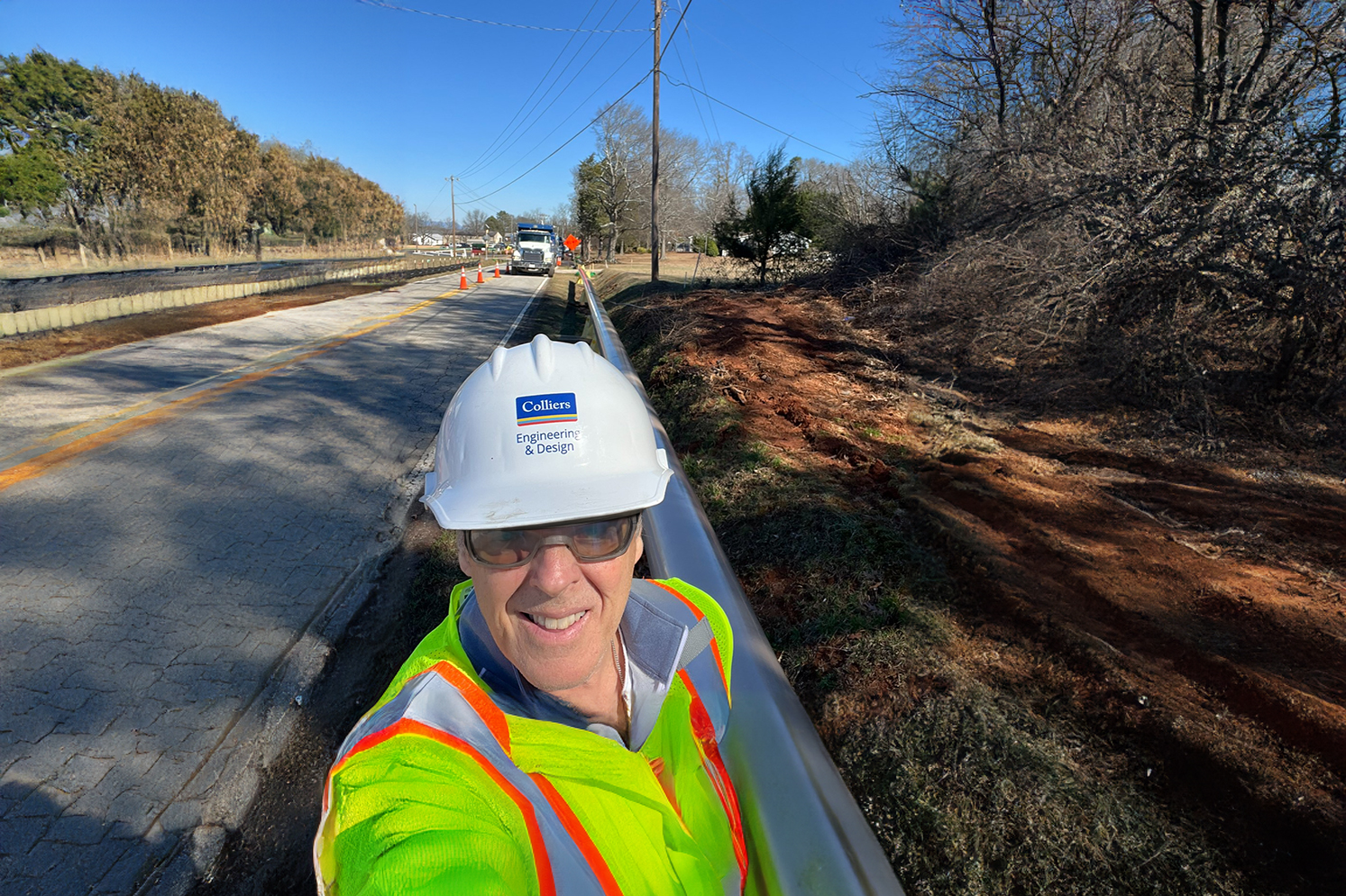
Why Developers Should Partner with a Utility Coordinator Before Breaking Ground
When you are driving on your local highway, are you aware of how many utilities you pass? Some are easy to spot above ground, like utility poles, electrical wires and water towers,
Blogs
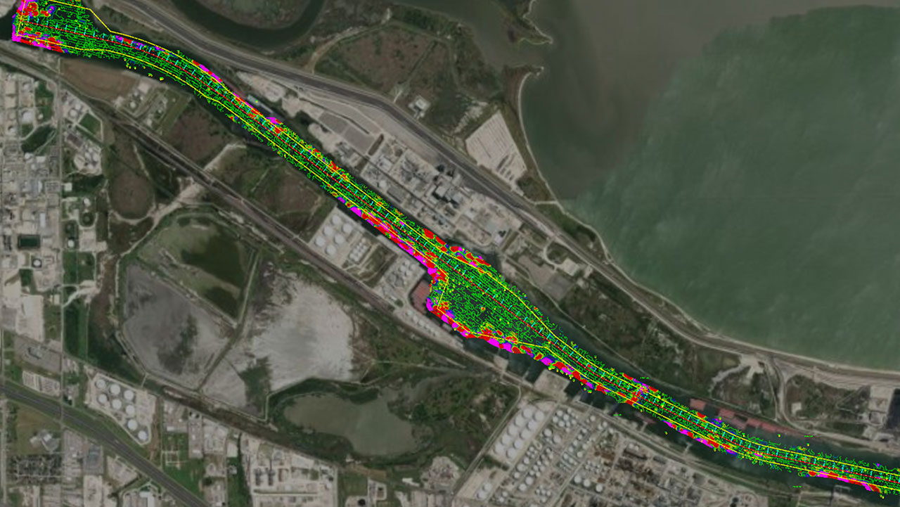
What Actually Is Hydrographic/Bathymetric Surveying?
Read how Hydrographic/Bathymetric Surveying maps water features using sonar and GPS, crucial for navigation, research, and conservation.
Events

Maine Transportation Conference
Meet our experts on December 4 at the Maine Transportation Conference, presented by MaineDOT, Maine Turnpike Authority, Maine Better Transportation Association


