Stormwater Drainage Geospatial Mapping
Chapel Hill, NC
Stormwater Drainage Geospatial Mapping
Chapel Hill, NC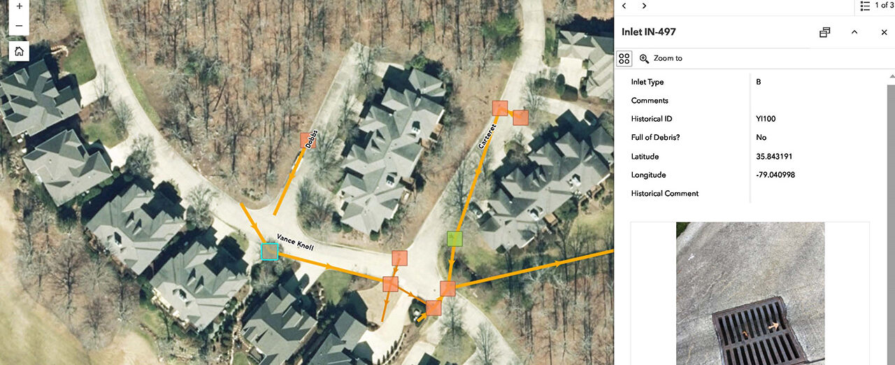
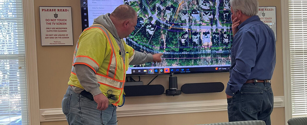
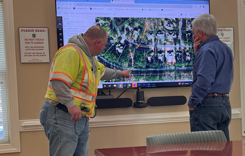
Our team provided stormwater drainage mapping services, traveling the rights-of-way of each street within the 1,600 acres / 25-mile road area known as the Governor’s Club Golf Course property boundary. The team using GPS technology, captured the location of stormwater assets. This task included approximately 825 stormwater structures that were collected and inspected using Esri Survey123. Our team created an Esri ArcGIS Online account for the Club to manage future maintenance and support of their stormwater system. We configured a user-friendly Esri web map application that allows the staff members to access the mapping while in the field and office, to support future operation and maintenance tasks. Deliverables included the web asset management application, map book set of plans and training.
SERVICES
- GIS
- Governmental