AMTRAK Northeast Corridor Study
Washington, D.C. to City of Baltimore, MDAMTRAK Northeast Corridor Study
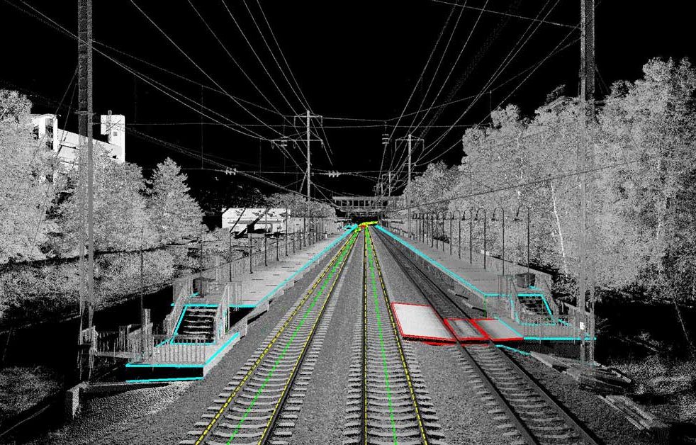
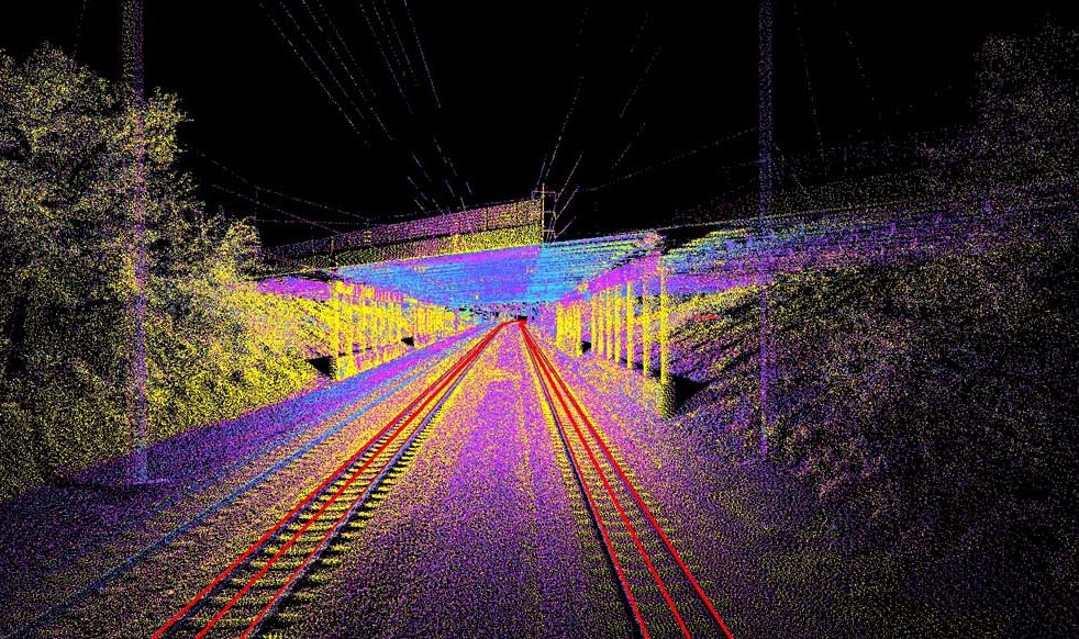
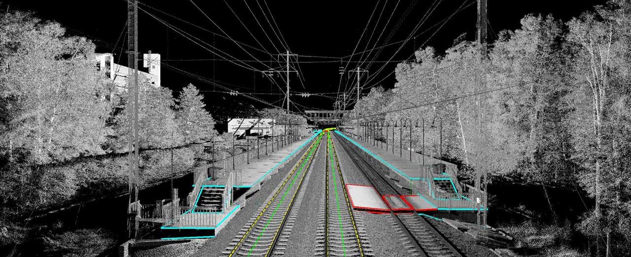
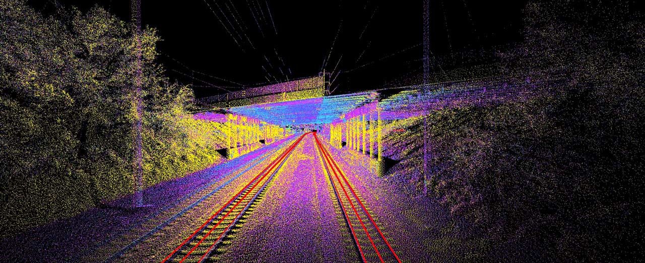
Washington, D.C. to City of Baltimore, MDColliers Engineering & Design was retained to perform Mobile LiDAR mapping along 30+ miles of the AMTRAK Northeast Corridor within the state of Maryland, between BRIDGE Interlocking (West Baltimore) and the future HANSON Interlocking (New Carrollton). The data gathered by our surveyors will be used for a variety of purposes, including existing track alignment, planimetric maps, clearance analysis, and future design. The data was acquired using Mobile LIDAR equipment mounted on a Hi-Rail vehicle to travel the existing right-of-way. We also employed rail trolley along thousands of feet of track, gathering rail, centerline geometry, cant, and super elevation.
SERVICES
- Land Survey
- LiDAR Mobile Mapping
- Rail & Tunnel


