Unmanned Aerial System
Advanced aerial data collection that supports safe, efficient project delivery
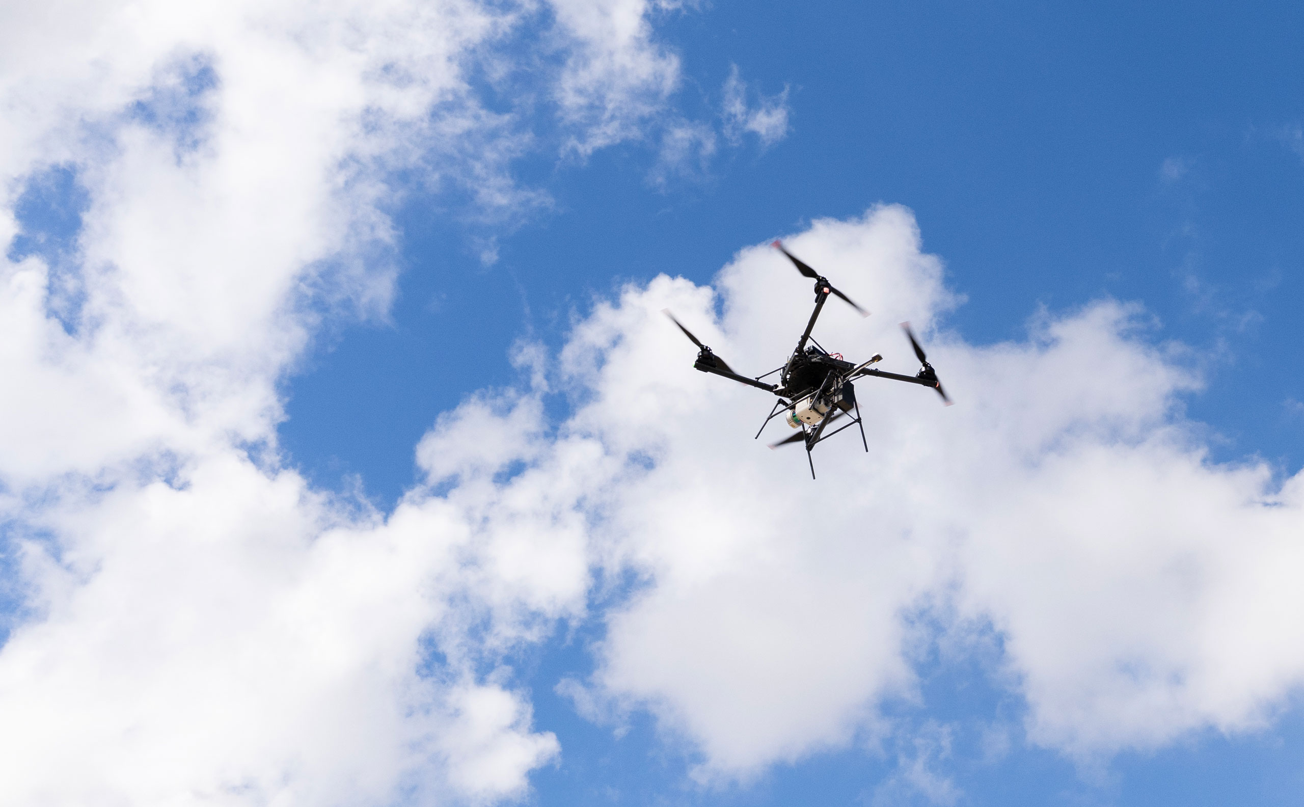
Unmanned Aerial Systems (UAS) provide rapid, high-resolution data collection across complex and hard-to-access environments. At Colliers Engineering & Design, our FAA Part 107-certified professionals deploy advanced aerial platforms equipped with LiDAR, photogrammetry, and environmental sensing technologies to deliver accurate, actionable geospatial insight.
We work across transportation, utilities, energy, infrastructure, and development projects to capture reliable aerial data that reduces field exposure, accelerates timelines, and strengthens decision-making.
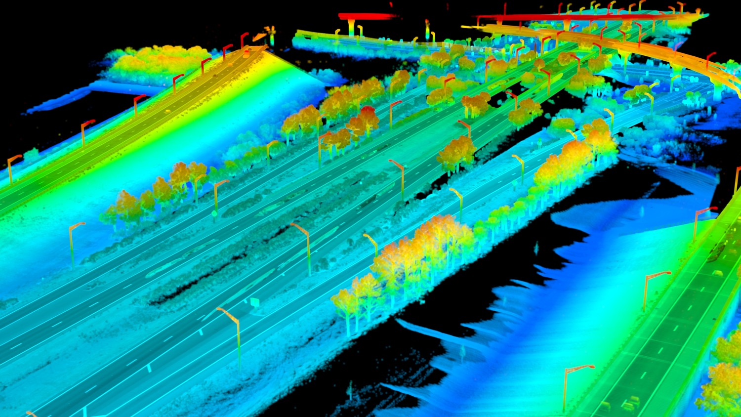
- 3D high-definition aerial LiDAR mapping
- Photogrammetric mapping and orthomosaic development
- High-resolution imagery and video inspection
- Construction monitoring and volumetric analysis
- Change detection and progress tracking
- Asset mapping and as-built documentation
- Environmental sensing and site assessment
- Emergency response and rapid deployment services
Our approach
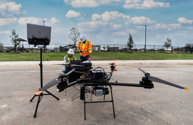
Effective UAS deployment requires strategic planning, flight control precision, and disciplined data processing. Our teams select aircraft platforms and sensor configurations based on project scope, site conditions, and required accuracy levels.
All collected data is processed through structured quality control procedures to ensure spatial consistency and integration with project coordinate systems. By coordinating closely with surveyors, engineers, and GIS specialists, we convert aerial data into deliverables that directly support design, permitting, and construction.
SERVICES
- Land survey and measurement
- LiDAR services
- GIS asset management
- Subsurface utility engineering
- Rail and tunnel measurement
- Right-of-way and land services
Designing for safety, access, and efficiency
UAS technology allows teams to access areas that may be unsafe, remote, or difficult to reach using conventional methods. By shifting data collection to aerial platforms, we reduce risk to personnel while minimizing disruption to traffic, rail operations, and active construction sites.
Whether documenting large corridors, inspecting infrastructure assets, or capturing site conditions for planning, our UAS services provide reliable data with speed and precision.
Coordinated aerial mapping for integrated project delivery
UAS data is most effective when aligned with terrestrial and mobile survey methods. At Colliers Engineering & Design, our aerial mapping integrates seamlessly with LiDAR scanning, conventional surveying, SUE data, and GIS platforms to create unified geospatial deliverables.
This coordinated approach improves data continuity, strengthens design confidence, and supports informed project execution across multidisciplinary teams.
Frequently asked questions
A UAS survey uses unmanned aerial systems, commonly referred to as drones, to capture high-resolution imagery and spatial data for mapping, modeling, and inspection purposes.
When combined with ground control points and proper processing workflows, UAS data can achieve high levels of positional accuracy suitable for engineering and planning applications.
UAS is ideal for large areas, remote or hazardous environments, construction monitoring, volumetric analysis, and rapid-response situations where traditional methods may be less efficient.
Yes. Our UAS professionals are FAA Part 107 certified and trained to safely operate aircraft and sensor systems across a range of project environments.
Let’s talk about your next project!
Our multidisciplinary approach to design, combined with a deep understanding of the industry and passion for innovation, has positioned us as leaders consistently delivering outstanding results in shaping the built environment.