Land Survey & Measurement
Colliers Engineering & Design’s survey professionals have the expertise to achieve highly accurate results while maintaining quality control over data collected, from field to office, and precision of the final client deliverables. Whether the project calls for administering conventional surveying methods, cutting-edge geospatial scanning techniques or a combination of both, our professionally licensed land surveyors, highly-trained office technicians and field crews work seamlessly together to provide the most responsive and consistent professional survey services available. Implementing the right approach for each project is what makes the difference and ensures our clients they are receiving the most accurate surveying and measurement services.
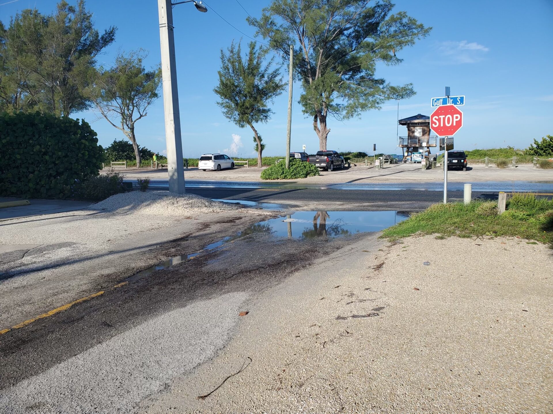
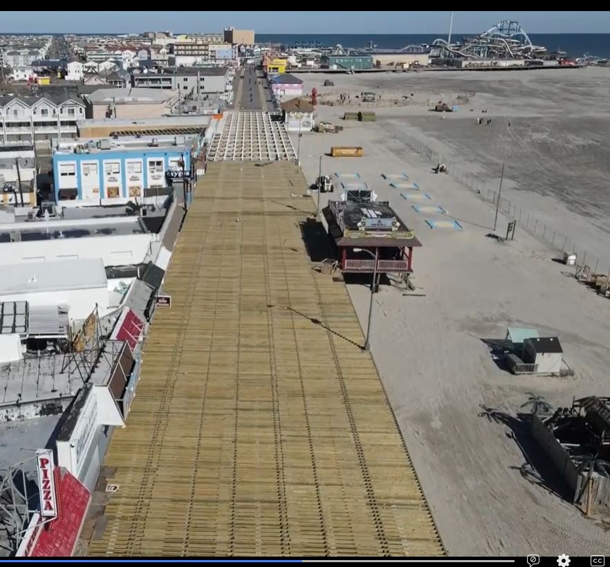
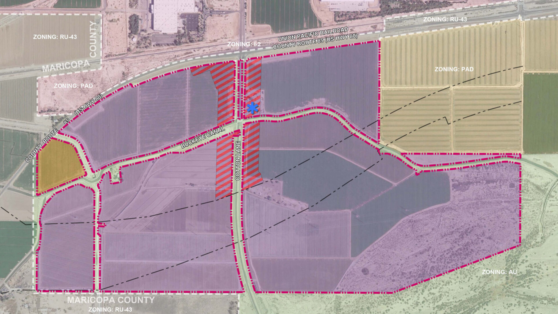
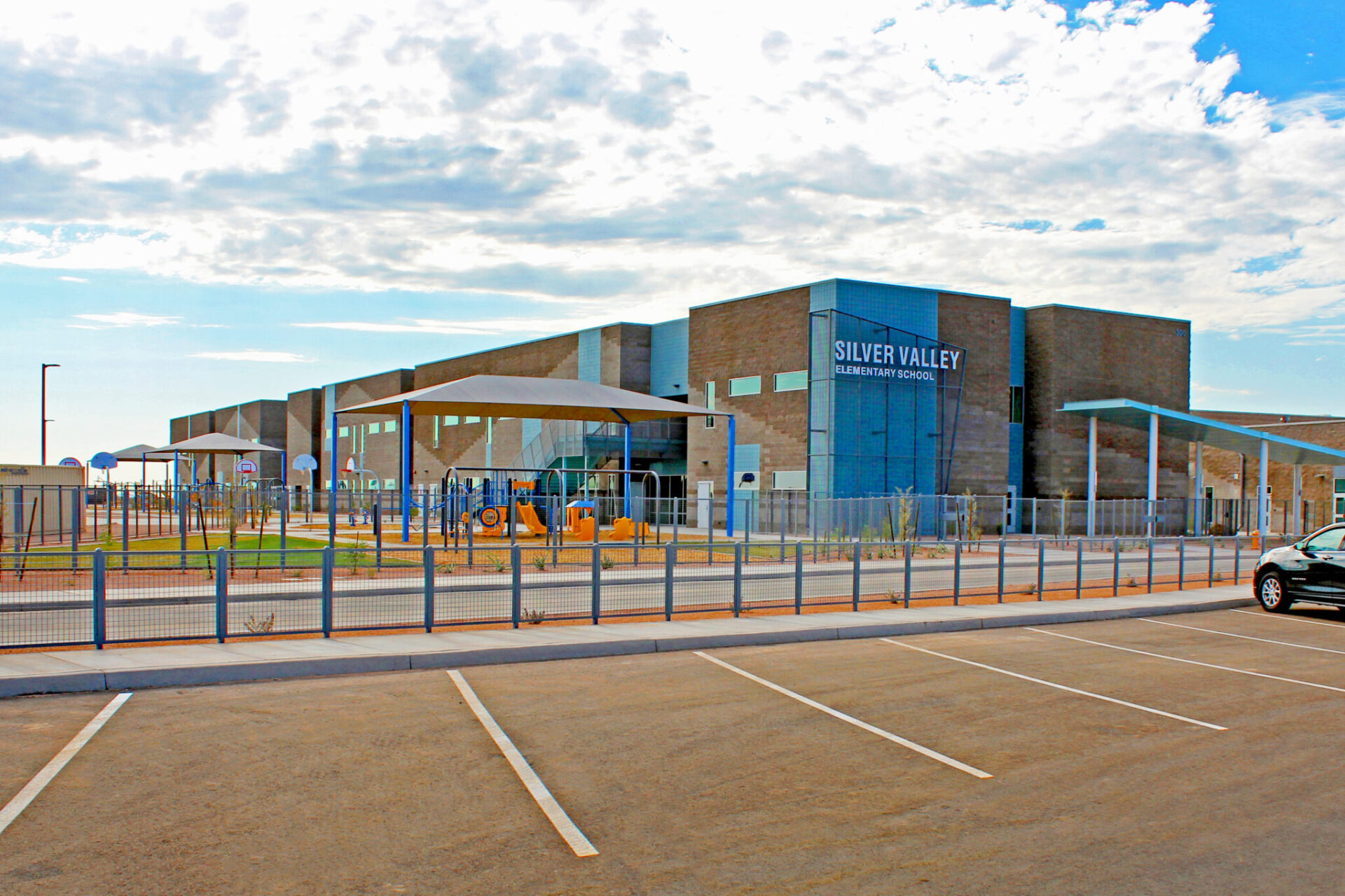
Our professionals perform terrestrial and boundary surveys, construction stake-outs and as-built surveys for existing and new residential and commercial properties. Our capabilities also include the use of hi-definition laser scanners which enable our surveyors to collect data from a multitude of subjects including complex facilities, buildings and assets, bridges, structures, and roadways all of which depend upon our specialized measurement equipment and experienced operators.
Services
- 3D Hi-Definition Laser Scanning
- Aerial Photo Control Surveys For Mapping
- ALTA/NSPS Land Title Surveys
- As-Built Surveys
- Construction Stake-Outs
- Deformation Monitoring Surveys
- Environmental
- Flood Elevation Surveys
- GIS Mapping
- GPS Surveying
- Highway Route Surveys
- Hydrographic, Riparian & Wetlands Surveys
- Pipeline & Utility ROW Surveying
- Site Remediation Surveys
- State Compliant Tax Map Services
- Subsurface Utility Location & Ground Penetrating Radar
- Topographic & Boundary Surveys
Land Survey & Measurement Projects
Let's talk about your next project.
Our multidisciplinary approach to design, combined with a deep understanding of the industry and passion for innovation, has positioned us as leaders consistently delivering outstanding results in shaping the built environment.
Newsroom
Articles
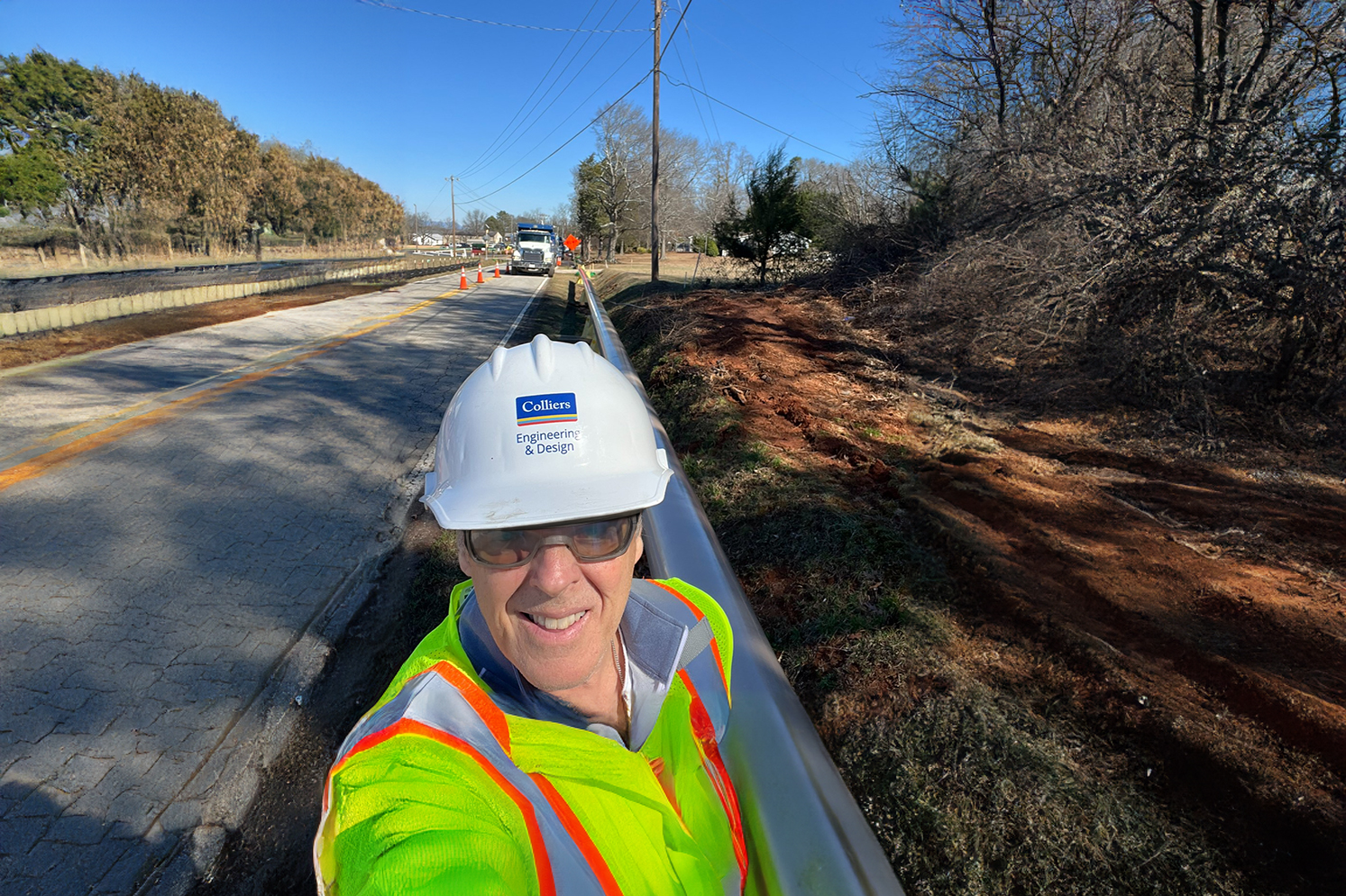
Why Developers Should Partner with a Utility Coordinator Before Breaking Ground
When you are driving on your local highway, are you aware of how many utilities you pass? Some are easy to spot above ground, like utility poles, electrical wires and water towers,
Blogs
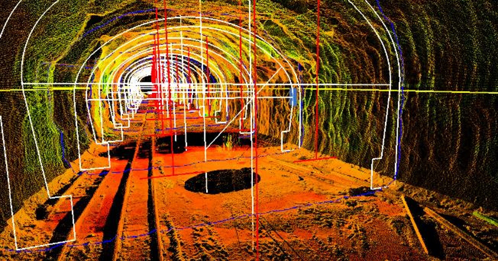
What Actually Is Survey?
Survey is more than just measuring boundaries and staking out construction sites. Join us as we ask, “What is survey?”
Events
NYSAPLS Annual Surveyors Conference
Look for our team at the NYSAPLS 67th Annual Surveyors Conference from January 26-28 in Saratoga Springs, NY! Our professionals are ready to discuss


