
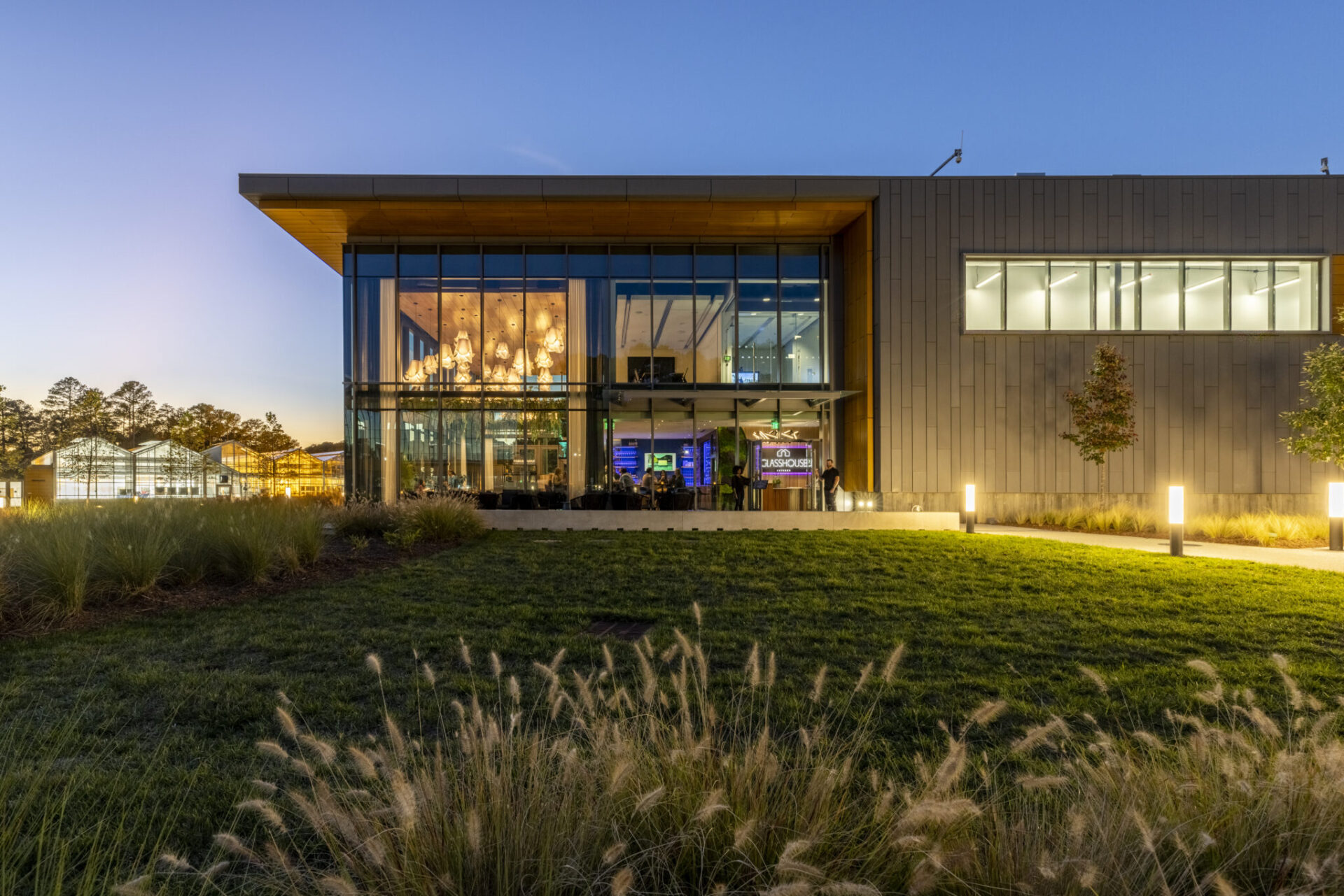
Glasshouse Kitchen
Glasshouse Kitchen was designed to provide restaurateur Chris Borreson with a venue that celebrates the freshness and quality of its cuisine. Situated on a corporate campus in the heart of the Research
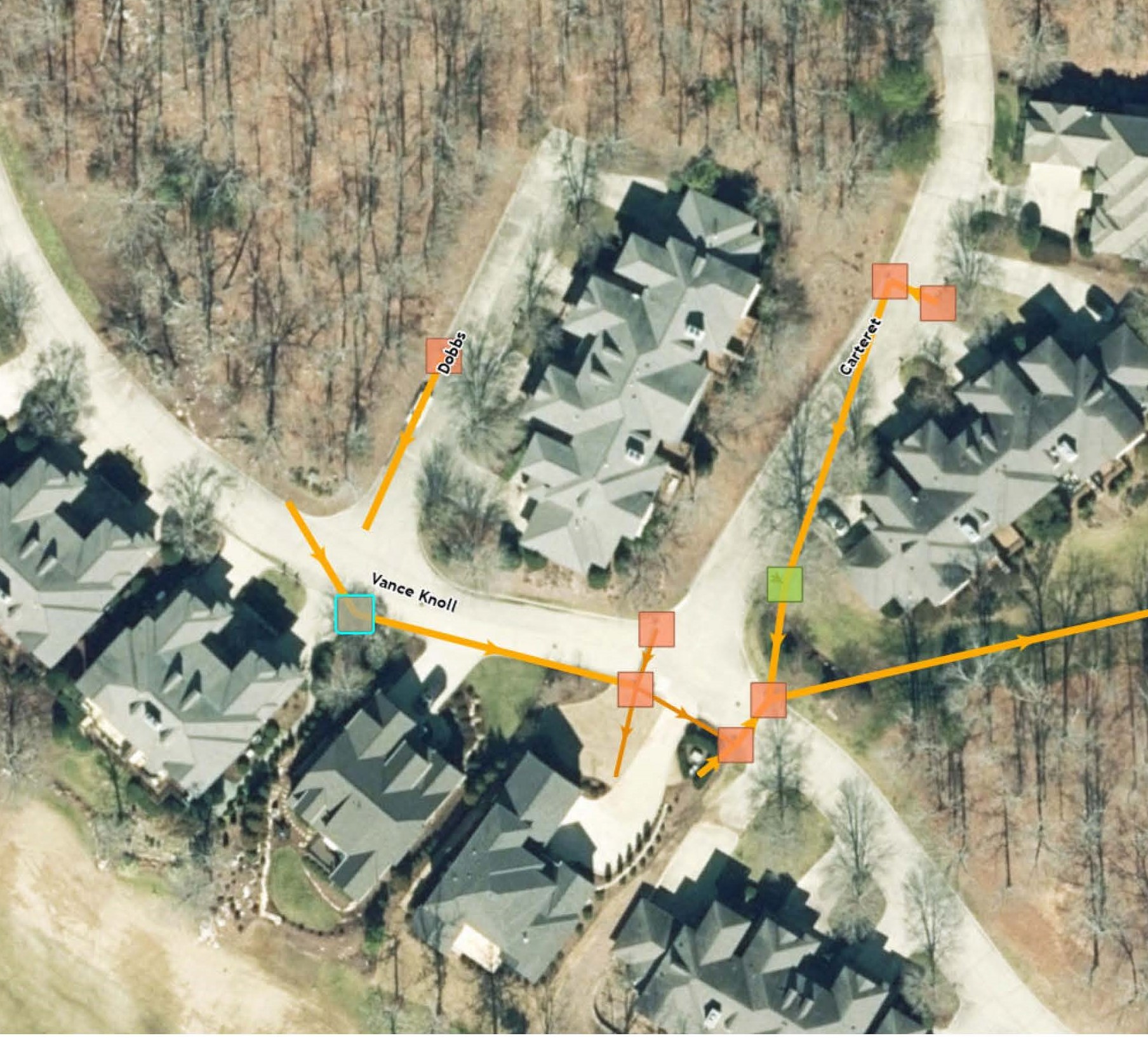
Stormwater Inventory & Web Portal
The Governor’s Club, home to a prestigious golf course, recognized the need for a comprehensive stormwater management solution across their expansive 1,600-acre property, which includes over twenty-five miles of roadways. To address
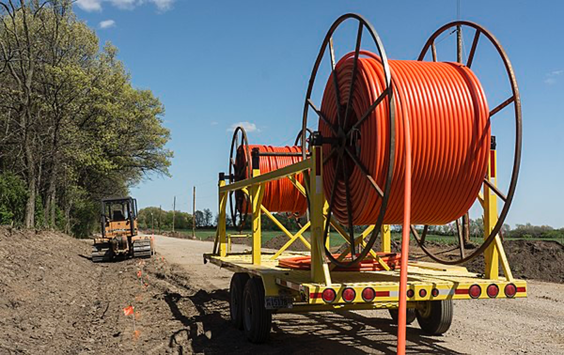
Brightspeed – Pittsboro
Brightspeed, an internet service provider, recently began a massive project to install high-speed fiber optic cable over roughly 400,000 feet in Pittsboro, North Carolina. To ensure the project ran smoothly, our firm
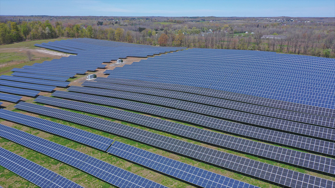
Renewable Energy Engineering: Shaping the Future of Clean, Secure Energy
Uncover how renewable energy engineering transforms natural resources into sustainable solutions, advancing energy independence and environmental stewardship.

2025 8th Annual Fiesta
Celebrating a San Antonio Tradition & Honoring Our Clients Despite a week of rainy forecasts, our 8th Annual Fiesta unfolded under perfect conditions on Thursday, April 24th—mild sunshine with a gentle breeze
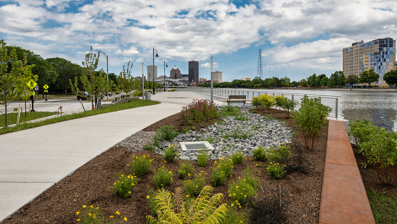
Sustainable Landscape Architecture for a Greener Future
Explore landscape architecture and its vital role in sustainability through innovative designs that promote environmental conservation this Earth Day.