From growing cities to remote regions, New Mexico continues to evolve. Supporting that growth calls for integrated solutions that respond to both opportunity and geographic constraint.

A Partnership You Can Rely On
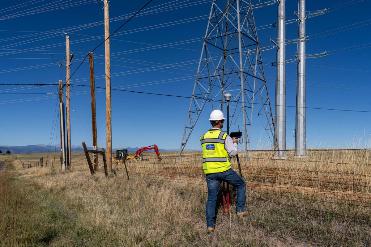
As the largest provider of mobile mapping services in New Mexico and the Southwest, we are deeply vested in providing dynamic survey, mapping and consulting support relating to transportation and corridor project development. Our team is versed in methods and approach used by Departments of Transportation, primary consultants, statewide on-call contracts and Native Land clients. Because this is a mobile service, our teams can easily be deployed anywhere across the state, region and nation.
- Aerial Remote Sensing
- Cultural Resources
- Development & Management
- Fixed-wing Aerial Mapping
- Geospatial Program
- Geospatial Survey
- Land Use Planning
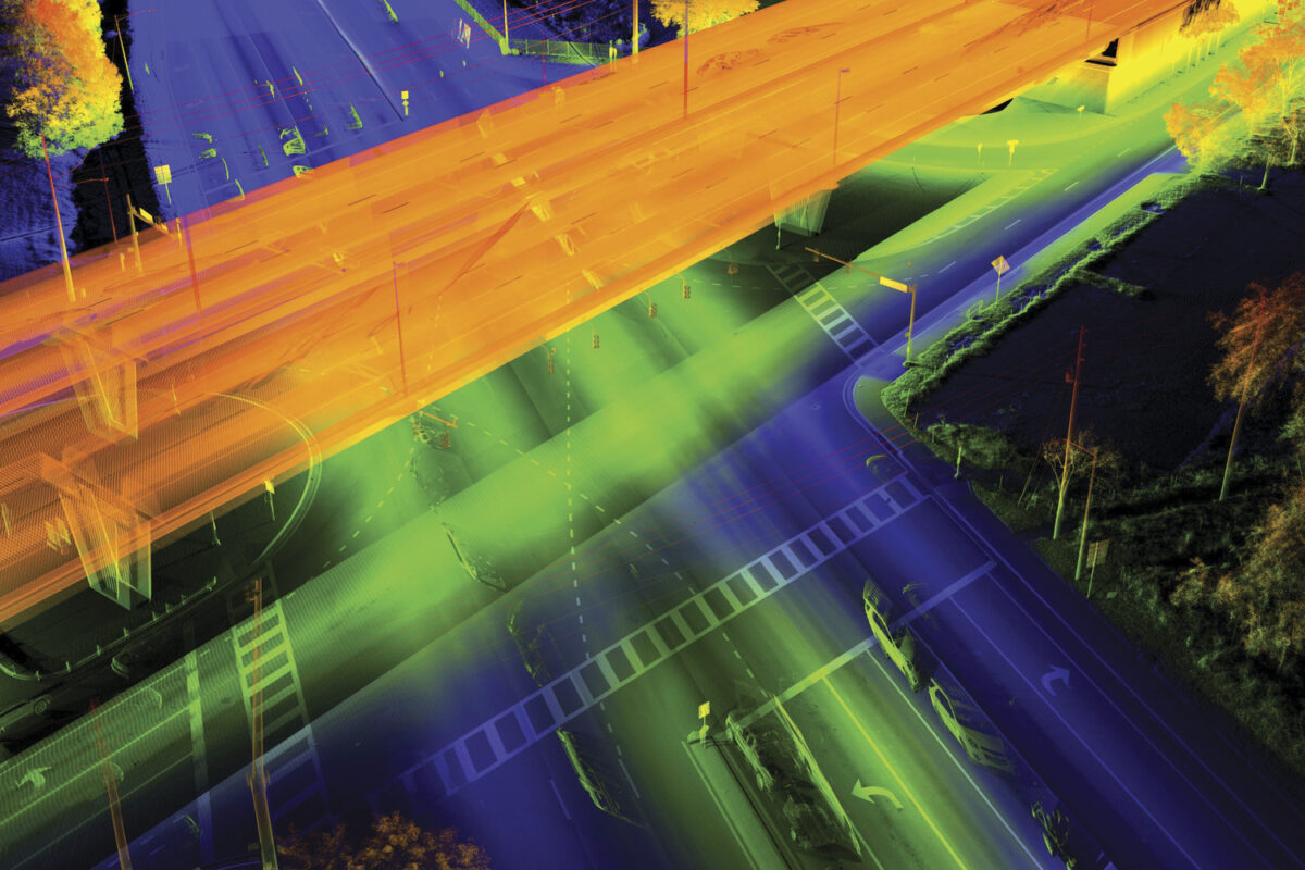
- Mobile LiDAR
- Mobile/Aerial Hybrid Modeling
- Natural Resources
- Scan to BIM
- Subsurface Utility Engineering
- Telecommunications
- Terrestrial Mapping
- Utility Coordination

Our Offices, Your Communities
Address
Contact

Our Specialized Services
We specialize in providing a comprehensive suite of services including civil/site, architecture, transportation, survey/geospatial, infrastructure, governmental, geotechnical/environmental, telecommunications, utilities/energy and project management.