GIS Asset Management
Geospatial asset management that supports informed infrastructure decisions
Reliable asset data is essential to effective infrastructure planning, maintenance, and capital investment. At Colliers Engineering & Design, our GIS and geospatial professionals help clients organize, validate, and apply spatial data to improve visibility, strengthen coordination, and support long-term asset performance.
We work across public and private sector projects to transform survey-grade field data into structured, decision-ready systems that support operations, compliance, and future planning.
- Enterprise GIS implementation and system configuration
- Infrastructure and utility asset inventory development
- Field data collection and mobile GIS deployment
- Integration of survey, LiDAR, and SUE datasets
- Asset condition mapping and lifecycle tracking
- Geodatabase design, management, and quality control
Our approach
Effective asset management begins with disciplined data collection and verification. We apply rigorous quality control procedures from field acquisition through database development to ensure spatial accuracy, consistency, and usability across platforms.
Our GIS specialists work alongside licensed surveyors, SUE professionals, and geospatial technicians to integrate terrestrial, mobile, and aerial data into unified deliverables. This multidisciplinary coordination reduces duplication, improves data reliability, and supports informed decision-making across departments and project phases.
SERVICES
- Land survey and measurement
- Mobile LiDAR mapping
- Unmanned aerial systems (UAS)
- Subsurface utility engineering
- Right-of-way and land services
- Rail and tunnel measurement
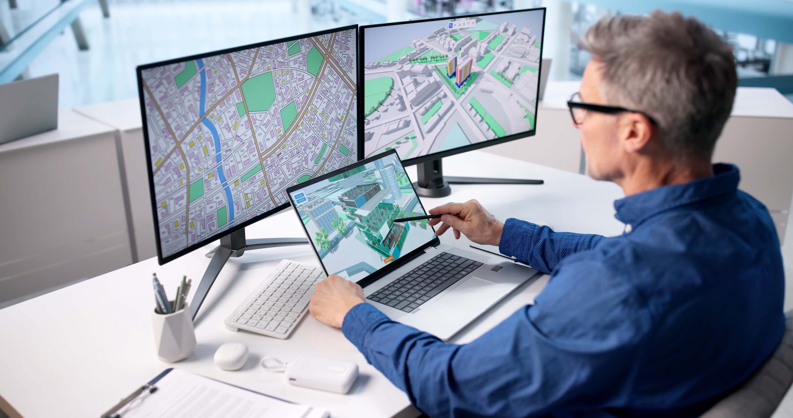
Designing for visibility, scalability, and performance
GIS systems must do more than store data. We design asset management platforms that scale with growth, adapt to evolving technology, and support reporting, compliance, and performance tracking.
Whether managing municipal infrastructure, utility networks, transportation corridors, or facility portfolios, our solutions provide structured access to asset location, condition, and maintenance history – supporting proactive planning instead of reactive response.
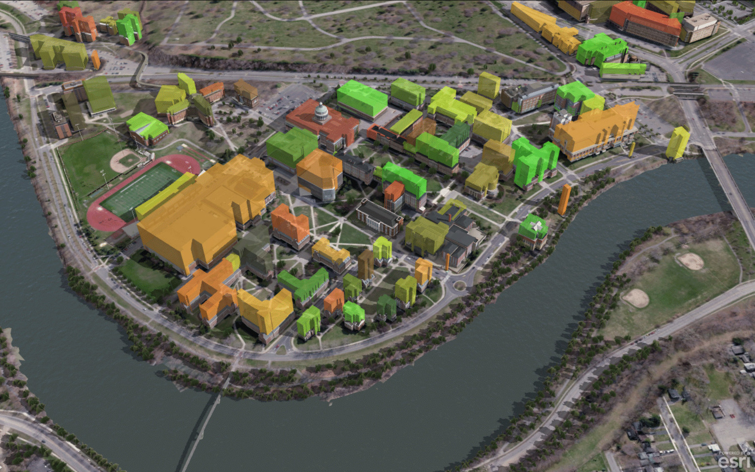
Coordinated geospatial systems for complex infrastructure
Accurate GIS is strongest when connected to engineering and field operations. At Colliers Engineering & Design, our geospatial teams collaborate directly with surveyors, engineers, and planners to ensure asset data aligns with design intent, regulatory requirements, and operational realities.
This integrated approach strengthens accountability, improves communication, and helps clients move forward with clarity and control.

Frequently asked questions
GIS asset management is the use of geographic information systems to collect, organize, and manage spatial data related to infrastructure assets. It allows organizations to map asset location, track condition, monitor maintenance history, and support long-term capital planning using accurate geospatial information.
GIS asset management systems can support utilities, transportation networks, municipal infrastructure, facilities, telecommunications assets, pipelines, and right-of-way corridors. Systems can be tailored to support both above-ground and subsurface assets.
Survey data, including land survey measurements, mobile LiDAR mapping, UAS imagery, and subsurface utility engineering (SUE) data, is processed and validated before being integrated into a geodatabase. This ensures spatial accuracy, consistency, and alignment with project coordinate systems.
GIS supports regulatory compliance by maintaining accurate documentation of asset location, environmental constraints, right-of-way boundaries, and permitting requirements. This improves reporting, inspection tracking, and long-term recordkeeping.
Let’s talk about your next project!
Our multidisciplinary approach to design, combined with a deep understanding of the industry and passion for innovation, has positioned us as leaders consistently delivering outstanding results in shaping the built environment.