Colliers Engineering & Design prepared a Modernism and the Civil Rights Movement story map for the City of Greensboro using Esri’s Story Maps software.
Story maps spatial mapping and graphics, engage community members with an informative and interactive platform to self-educate. The benefits of implementing Story maps increases public awareness, tourism, use of public transportation, and public feedback to promote an environmentally friendly and sustainable community.
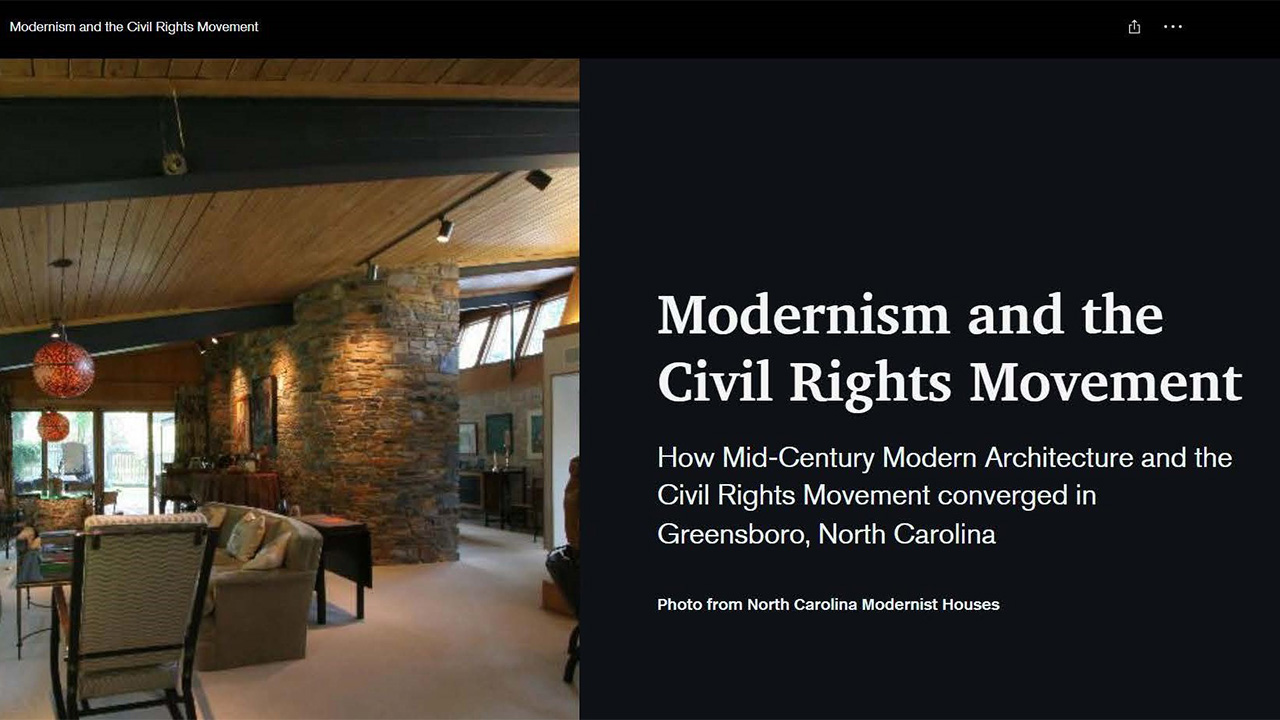
Project goals included developing an interactive story map to communicate to the community outstanding examples of Mid-Century Modern residential and religious architecture designed by Black architects, many trained at North Carolina Agricultural and Technical State University.
Our team worked closely with the Historic Preservation Commission, and City Planning staff to prepare a concept sketch of the content of the story map and gathered photos, text, and maps for the story map. The story map includes an interactive web map that outlines the history of Greensboro Mid-Century Modern Architecture, architects, and the neighborhoods where these architectural buildings are located. Other sections of the story map include an interactive map tour of residences, places of worship, and historic sites of the Civil Rights Movement in Greensboro.
View the Public Access story map here:
https://storymaps.arcgis.com/stories/b5708095c9d247f69fc54347366176c9