Whippany River Aerial Inspection Survey Phase 1
Client | East Hanover, NJTo address persistent flooding issues in the region, a Whippany-Passaic Rivers’ Flood Mitigation Task Force has been established, bringing together six municipalities: East Hanover, Florham Park, Morris Plains, Parsippany-Troy Hills, Morristown, and Hanover.
As a result of a $1,500,000.00 Federal grant, to be administered by the United States Department of Agriculture (USDA), phase one of the multi-year, multi-phase project concentrated on clearing, de-snagging and stabilizing strategic portions of the Whippany River, Smith Ditch, Pinch Brook and Black Brook.
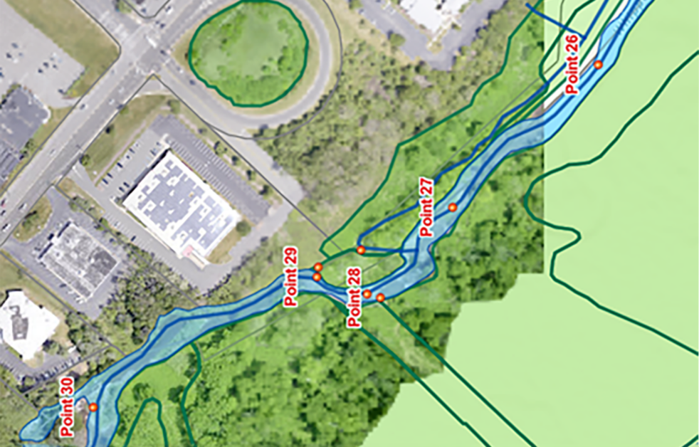
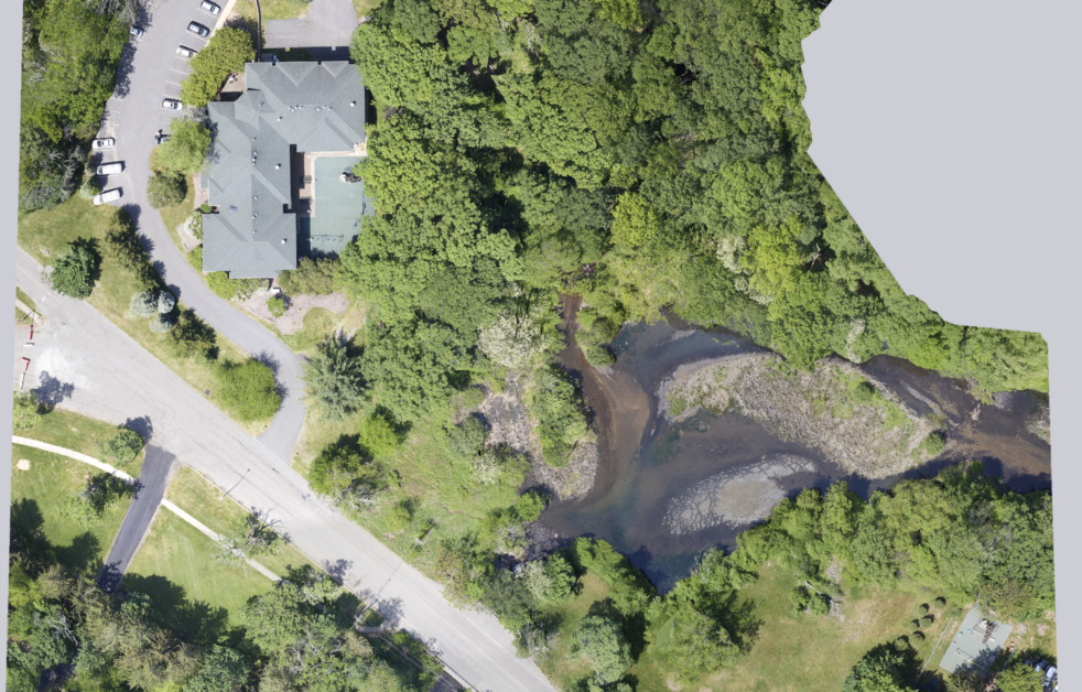
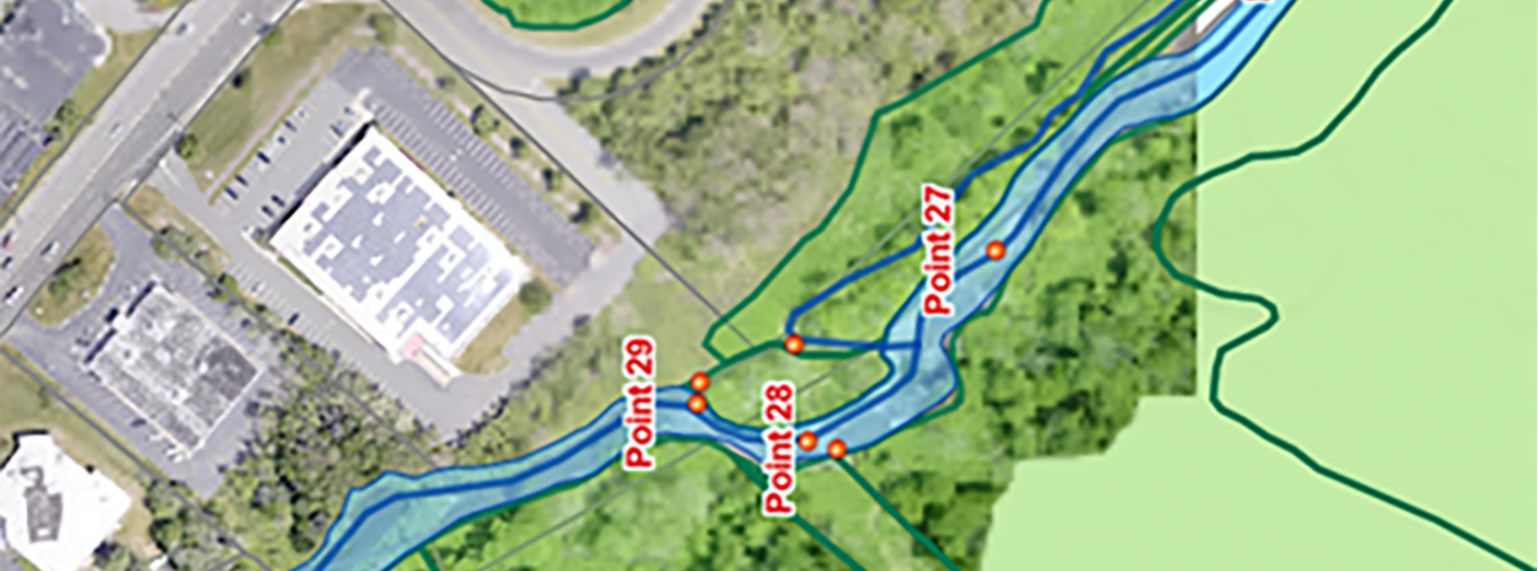
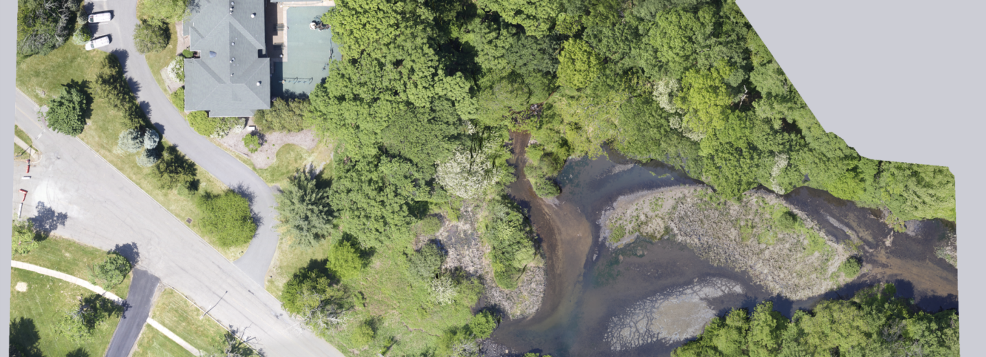
The project area covered approximately 14 miles of river. Our team flew a manned helicopter to yield 50-point-per-square-meter LiDAR point cloud data and still imagery. Once data was collected, we utilized Esri GIS software, ArcPro, ArcGIS Field Map and Esri Web Maps to manage and deliver the project data to the USDA’s Esri ArcGIS Online account. The imagery was processed and migrated to our GIS web platform, with our engineers reviewing the project areas, identifying areas of erosion, tree snags, and other physical obstructions causing the river waters to not flow naturally.
SERVICES
- GIS


