UAS Violation Detection & GIS Web Map Dashboard
Client | Bethlehem Authority, PAThe Bethlehem Authority oversees 26,000 acres of critical watershed that serves the Lehigh Valley of Pennsylvania. This vast property has faced challenges from unauthorized access, including trespassers and ATV riders, resulting in deforestation, wildfires, and other environmental issues. To address these concerns, our firm was engaged to develop and implement an innovative, technology-driven solution to enhance property management and security.
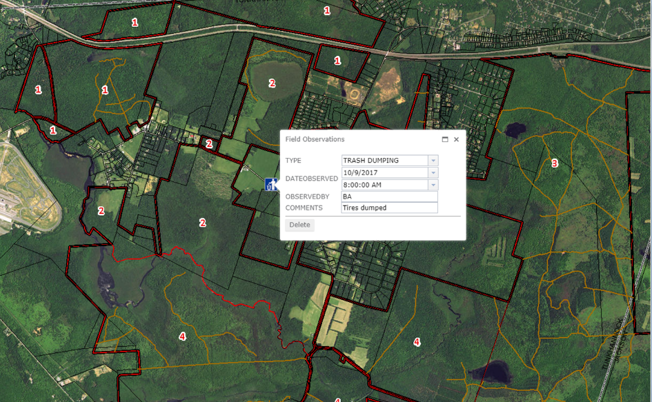
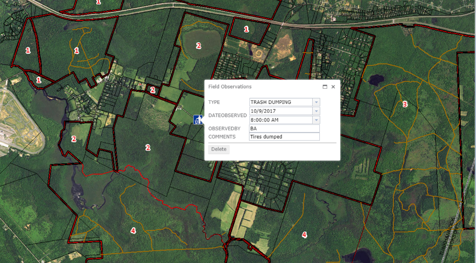
Our approach centered on introducing an in-house unmanned aerial system (UAS) program integrated with a custom GIS web dashboard. This comprehensive system allows the Authority to efficiently manage and respond to trespassing incidents by combining drone-captured data with ground-level investigations. The real-time GIS platform provides Authority directors with immediate visibility into incidents, facilitating swift corrective actions to protect the pristine environment under their stewardship.
Upon completing the UAS and GIS program implementation, we provided thorough staff training and established standard operating procedures, empowering the Authority to manage the system independently. Our ongoing support includes introducing new technologies and conducting onboarding training for new employees to ensure this system is as effective and safe as possible.
SERVICES
- GIS
- Unmanned Aerial Systems Survey


