Real Property Data Collection: Square Footage & Sketches
Client | City of PhiladelphiaReal Property Data Collection: Square Footage & Sketches
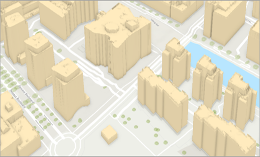
Client | City of PhiladelphiaAs part of the City of Philadelphia’s Operations Transformation Fund grant program, the Office of Property Assessment contracted our professionals to produce geographic information system maps of every building in the City, creating a 3D model of each space and accurately measuring the square footage available.
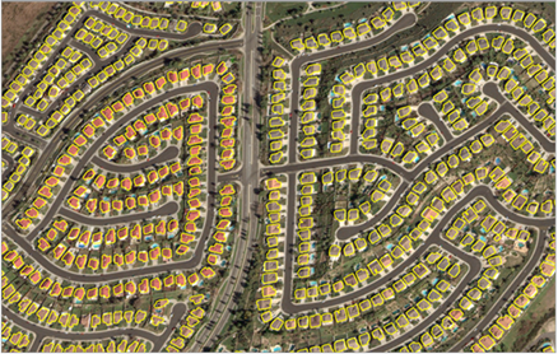
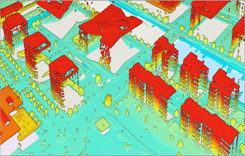
To accomplish this, our technicians began compiling resources available to be the foundation of the GIS database, including GPS roadmaps and building as-builts. A series of surveys were also conducted, utilizing LiDAR and other laser technology to develop the 3D representation of each building’s space. After all data was collected, our team uploaded all data into Esri to adjust and correct the models as needed. Meta’s recognition AI was implemented to aid in the corrections process.
SERVICES
- GIS


