NJDOT Route 26 LiDAR Scanning
North Brunswick Township, Middlesex County, NJNJDOT Route 26 LiDAR Scanning
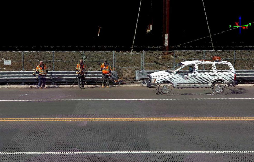
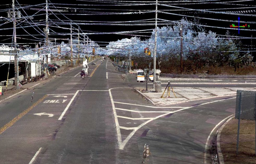
North Brunswick Township, Middlesex County, NJColliers Engineering & Design conducted a mobile LiDAR scan of New Jersey State Route 26 from milepost 0.25 to milepost 1.25 for the New Jersey Department of Transportation (NJDOT). This was a pilot project to demonstrate the capabilities of mobile LiDAR to the NJDOT and provide them with a design-grade point cloud data set. NJDOT had acquired trial licenses for TopoDOT, and their plan was to familiarize themselves with the TopoDOT software utilizing the data set we provided them. We also provided technical assistance to NJDOT on how to work with and utilize the point cloud data.
The mobile LiDAR data set was adjusted to survey control set and measured by NJDOT to produce a design-grade LiDAR data set. The final design-grade LiDAR data set was then utilized by NJDOT to generate topographic and planimetric mapping of the corridor scanned. Our professionals also collected 360° spherical imagery with the Ladybug5 camera system. The imagery, along with an intuitive viewer that produces a Google Earth-like “Street View”, was provided to NJDOT. Our services were provided as a sub-consultant to Taylor Wiseman & Taylor, as part of that firm’s open-end contract with NJDOT.
SERVICES
- LiDAR Mobile Mapping


