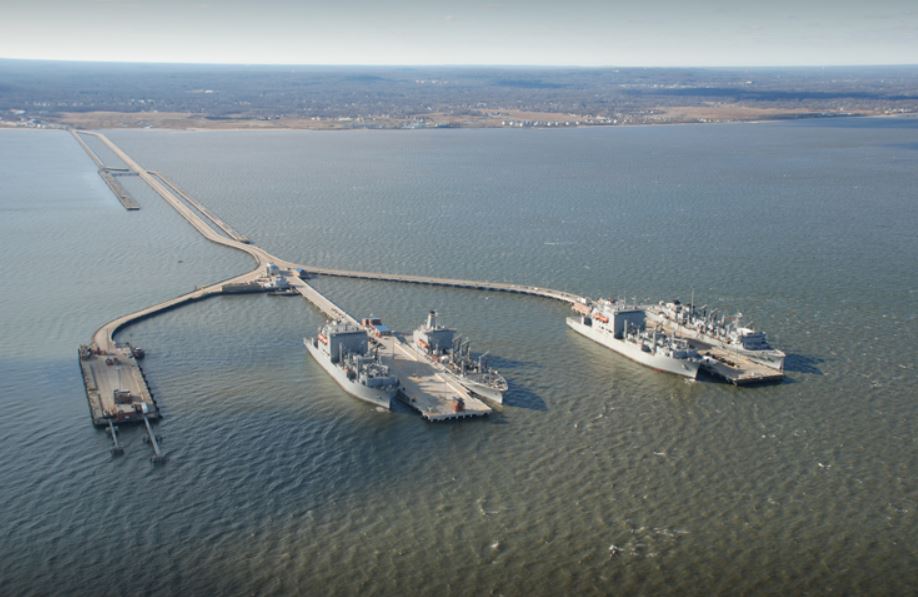
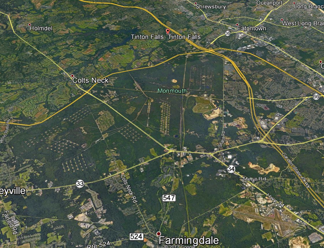
Naval Weapons Station Earle and the Monmouth County communities surrounding it share more than a property line. They share roads, economies, and a stake in one another’s success. Keeping that relationship working takes deliberate planning, which is why a Joint Land Use Study (JLUS) was undertaken to align the needs of the installation with the communities in its orbit. As part of a team with AECOM, HR&A Advisors, and Rutgers University, our professionals supervised preparation of the study, bringing together a broad coalition of local and military partners around a shared future.
A cooperative planning effort
The JLUS was built on collaboration from the start. It brought together Monmouth County, the base municipalities of Colts Neck, Howell, Middletown, Tinton Falls, and Wall, and the Military Influence Area communities of Atlantic Highlands, Highlands, Eatontown, Farmingdale, Freehold Township, Keansburg, Neptune, and Ocean, alongside NWS Earle itself. Working directly with these stakeholders, the process created a forum where every jurisdiction had a voice in decisions that affect them all.
Balancing operations, community, and growth
At its core, the study worked to ensure a harmonious coexistence between the base and its neighbors. That meant minimizing operational effects on surrounding jurisdictions and limiting civilian encroachment within the military influence area, protecting both the installation’s continued operational utility and the public health, safety, and welfare of residents. The effort also looked ahead, researching opportunities to strengthen economic growth tied to the needs of the base, its employees, and the wider community.