Inner Loop North Transformation Planning Study
Rochester, NYInner Loop North Transformation Planning Study
Rochester, NYMajor urban revitalization project supports city vision of promoting greater connection, accessibility, equality and economic and community development.
Following the successful completion of the Inner Loop East Project, which improved multi-modal access and created new lands for mixed use development, the City of Rochester is moving ahead with the Inner Loop North Transformation Study. The Inner Loop North Transformation Study is the first phase of the design process, intended to evaluate various design alternatives to reimagine the existing highway infrastructure and replace it with a more traditional city grid street orientation.
Colliers Engineering & Design led the design phase, which explored the potential removal of sections of the Inner Loop highway, undoing the Eisenhower-era program that disproportionately disrupted neighborhoods of color. The firm’s services included urban planning and design, community and stakeholder engagement, transportation engineering and roadway design services.
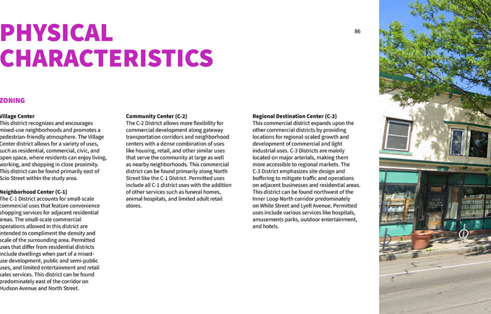
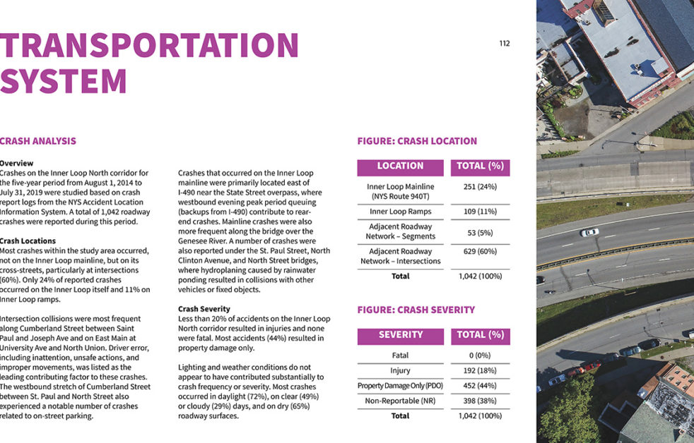
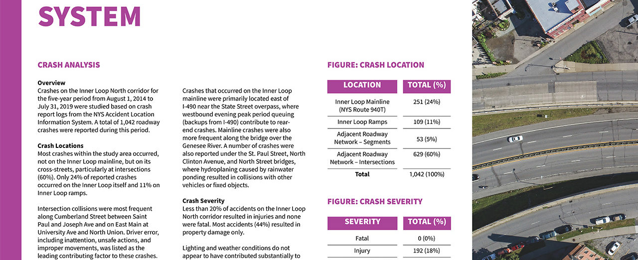
In 2020 the project team advanced the existing conditions analysis, including baseline data collection related to highway conditions, infrastructure and traffic and assessed demographic and market conditions, to understand how these factors contribute to the viability of the surrounding neighborhoods. Despite much of the work occurring during the pandemic, the team effectively engaged a wide range of stakeholders and community members through virtual meetings, socially distanced walking tours and online platforms.
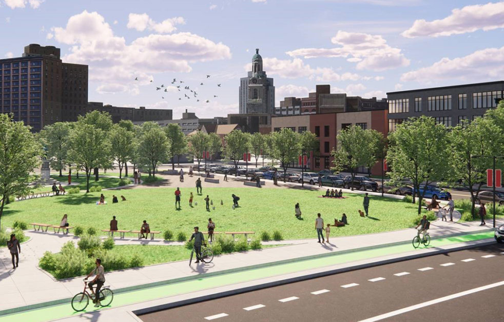
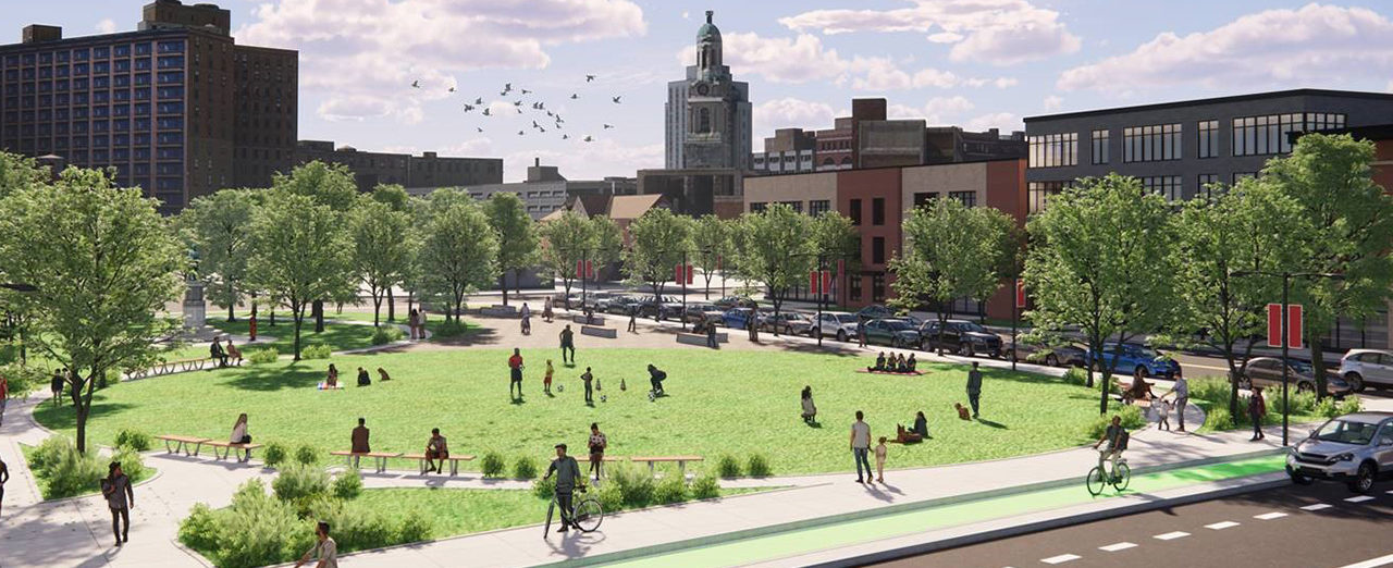
In 2021, the team presented conceptual design options for the corridor, evaluating available choices to deliver on the public’s vision and City’s goals. Based on community and City feedback, a preferred alternative was selected. The concept – titled “City Grid Restoration” – is a $80-90M plan that achieves the following:
- Removal and filling in of the remaining high-speed expressway
- Establishment of a lower speed, two-lane urban arterial street with signalized intersections and several new city street linkages
- Continuous cycle track and sidewalks, pedestrian nodes and narrowed crossings created by shorter blocks
- New and re-established green spaces
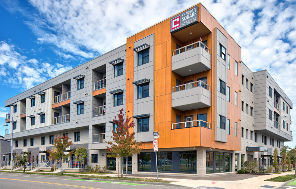
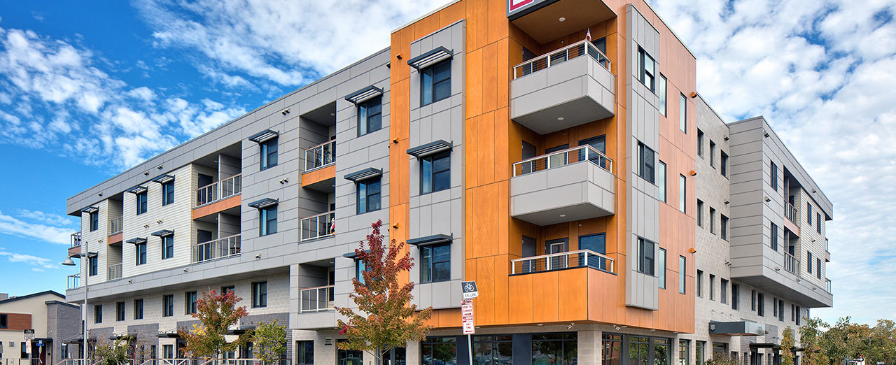
- Roughly 25 acres of developable land to reestablish parks and green spaces and provide acres for future development to facilitate home ownership and entrepreneurial opportunities
The study is expected to be completed mid-2022 with the next phase of preliminary and detailed design anticipated in 2023. Learn more at https://www.innerloopnorth.com.
SERVICES
- Planning Services

