City of Elizabeth Digital Tax Map
Client | City of Elizabeth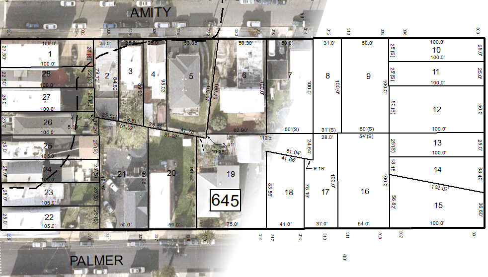
City of Elizabeth Digital Tax Map
Client | City of Elizabeth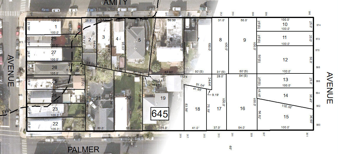
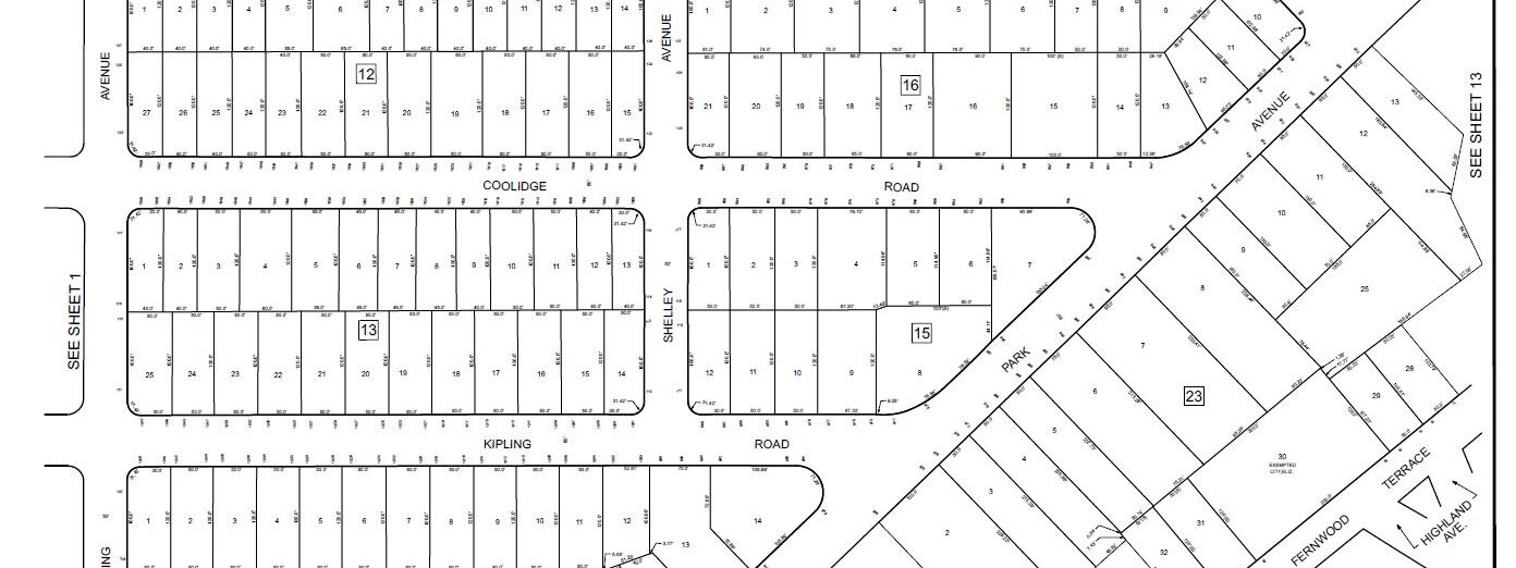
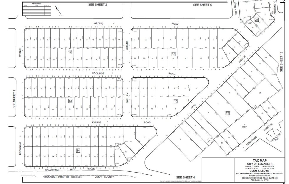
Colliers Engineering & Design was retained to convert the City’s hand-drawn historic tax map to a GIS format. The new digital tax map is dimensionally accurate and georeferenced to New Jersey State Plane Coordinate System and adheres to the Division of Taxation’s tax map Regulations and Standards. We updated the parcels to integrate with the City’s MODIV tax database and performed research to obtain deeds and filed maps that were required to resolve discrepancies identified in the historic tax map. Parcel data was extracted from georeferenced CAD drawings and imported to a GIS parcel fabric dataset for the City to utilize in their GIS applications. We managed a replicated database to allow for multi-user editing with the parcel fabric and created tax sheets in GIS and made the necessary edits to parcels. We also reviewed drafted tax sheets to ensure compliance with the State of New Jersey Division of Taxation regulations and standards. Finally, we made the necessary edits in GIS to finalize the tax sheets to be submitted to the Division of Taxation for review.
SERVICES
- GIS