Bayshore Regional Sewerage Authority eGIS Program
Union Beach Borough, NJBayshore Regional Sewerage Authority eGIS Program
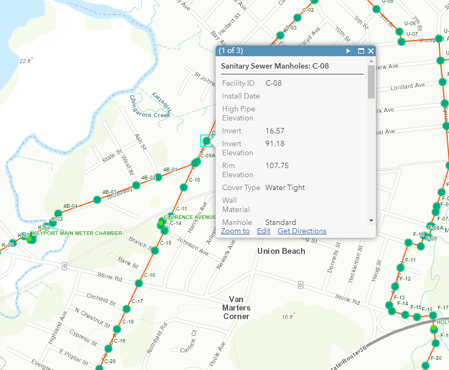
Union Beach Borough, NJOur professionals provided Geographic Information Systems (GIS) services to Bayshore Regional Sewerage Authority to implement a web-based asset management solution for the sanitary sewer conveyance system that the Authority maintains and operates. Our team created and configured the Authority’s Esri ArcGIS Online organizational account, which enables the Authority to share maps and data online, view and edit data using Esri’s mobile applications, and collaborate with outside agencies. We implemented a centimeter-grade Global Navigational Satellite System (GNSS) program that allows the Authority to map the location of new features and update existing features within the GIS. Updates to the data are reflected in the web and mobile applications in real-time.
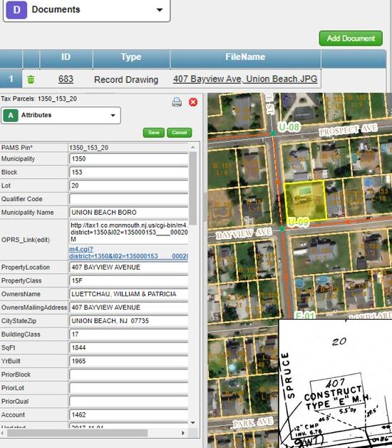
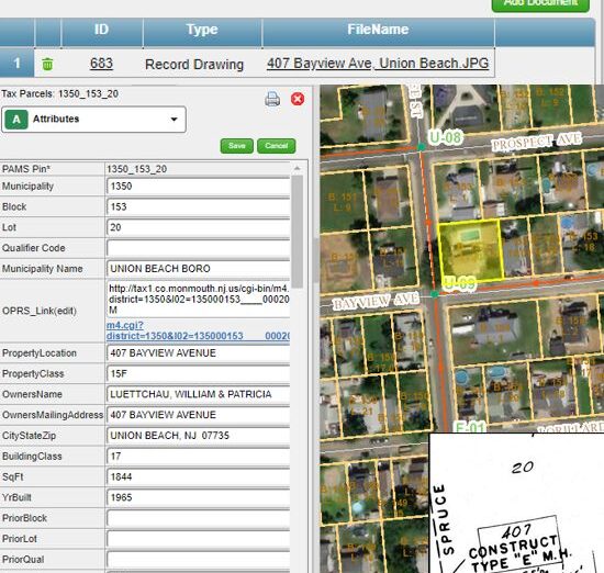
We also implemented the VUEWorks Asset Management software, which provides the Authority with a map view of the sanitary sewer conveyance system and overlays of other GIS data such as sewer service areas, parcel data, and surrounding municipalities’ sanitary sewer collection systems. Using this asset management system allowed the Authority to move from paper-based inspections and document management workflows into a completely digital workflow in the field and office. The Authority continues to expand their use of the VUEWorks system and will be using it the track the condition of and perform preventative maintenance on their assets.
SERVICES
- GIS
- Survey/Geospatial
- Water/Wastewater


