Surveying Through the Canopy for Clean Energy
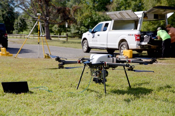
Dense tree cover and 80 acres of terrain don’t usually lend themselves to fast turnarounds. But when our team was contracted to support a solar development project in Saratoga County with a boundary and topographic survey culminating in a final ALTA survey, conventional methods weren’t going to cut it. The size of the site and its canopy cover called for a different approach, and our in-house UAS team had exactly the right tools for the job.
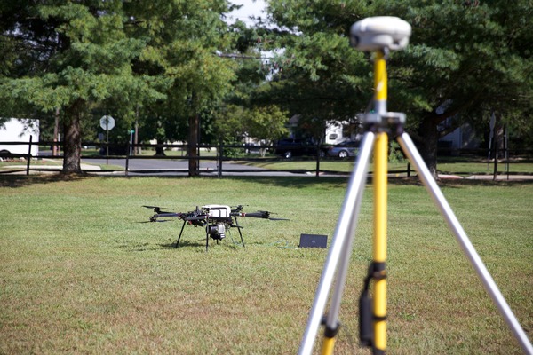
Our drone specialists deployed low-altitude LiDAR and high-resolution orthoimagery, collecting data across the full 80 acres in a single day. The technology penetrated tree canopy cover, captured accurate ground data, and targeted key features with a level of precision that would have been difficult and significantly more time-consuming using traditional survey techniques.
A Week Early, a Step Ahead
The efficiency of the approach paid off where it matters most: the timeline. Our team delivered the final mapping a full week ahead of schedule, giving the client a valuable head start in the permitting process. For a clean energy project contributing to the region’s renewable energy goals, that kind of acceleration isn’t just convenient. It’s the difference between hitting a development window and missing one.