Queen Creek Wash: Keeping the Trail Open When the Water Comes
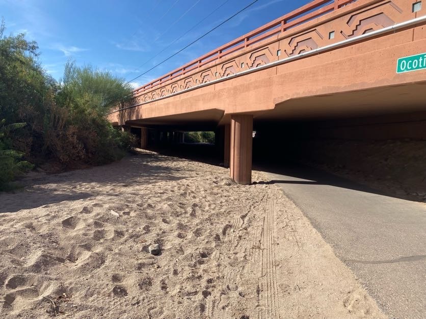
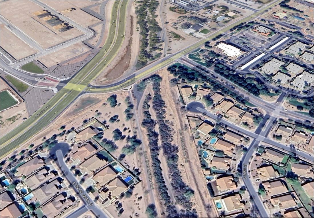
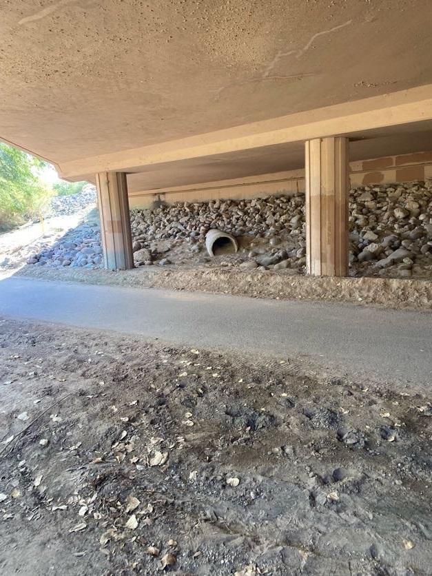
Residents of Queen Creek love their trail system. The challenge is that part of one popular segment shares its path with a regional flood outfall draining hundreds of square miles of watershed. Along Queen Creek Wash at its intersection with Ellsworth Road, FEMA has mapped the area as a Special Flood Hazard Zone. Several flood control structures located along upstream portions of the wash manage floodwaters during storm events, but when flow passes through, portions of the trail near the bridge go underwater.
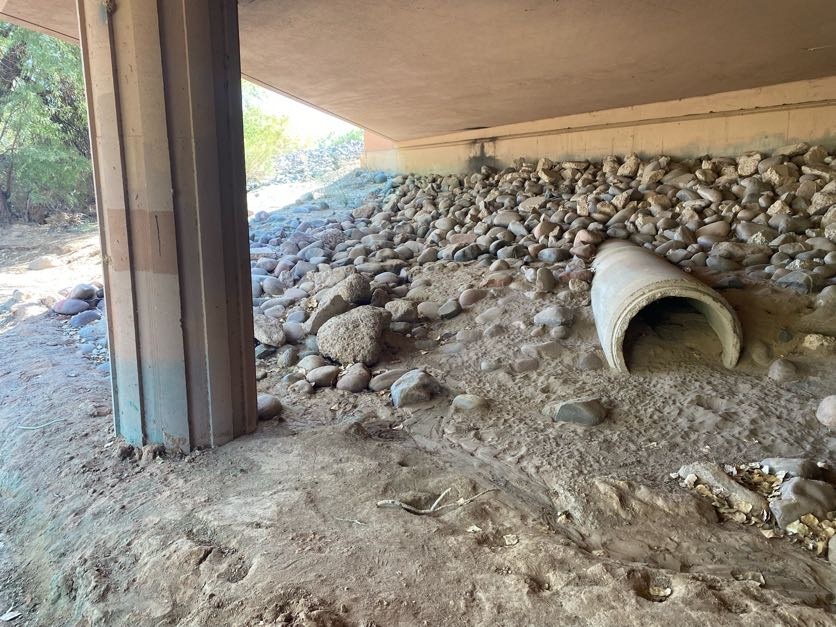
What gets left behind is sediment and debris that force closures, generate resident complaints, and require repetitive maintenance to clear. It’s a cycle the Town has been managing reactively, and the question became whether a smarter design could break it.
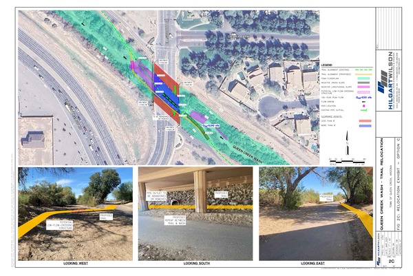
Redesigning the Trail Around the Reality of the Wash
Our team is evaluating the site and developing a design concept report to determine the best location and method to relocate the trail so that most of it sits above frequent flow elevations. The goal isn’t to fight the wash. It’s to get the trail out of its way. By raising the trail and shortening the length that sits within the wash bottom, the segment subject to repeated inundation and sediment deposition shrinks significantly.
The result for the Town is straightforward: reduced maintenance costs, fewer closures, and a trail that’s available to residents sooner after storms pass through. For a community that values its outdoor access, that reliability matters as much as the trail itself. The design concept report will give Queen Creek a clear path forward, with recommendations grounded in the hydrology of the wash and the expectations of the people who use the trail every day.