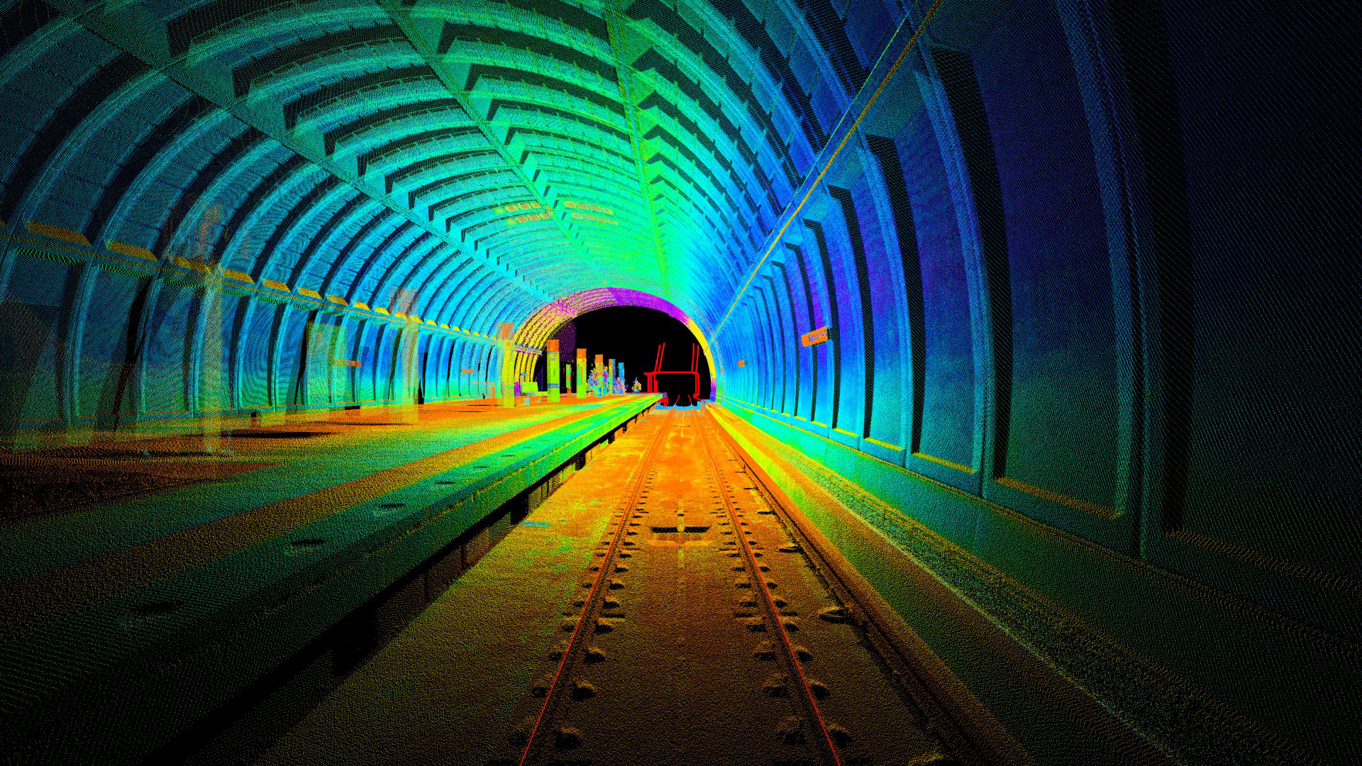
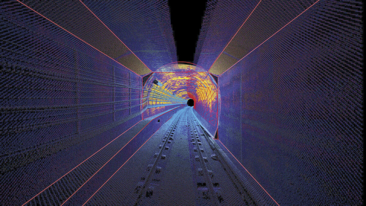
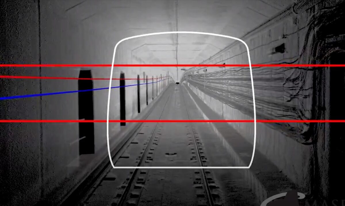
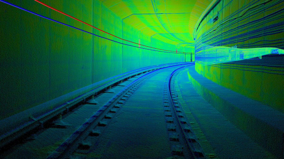
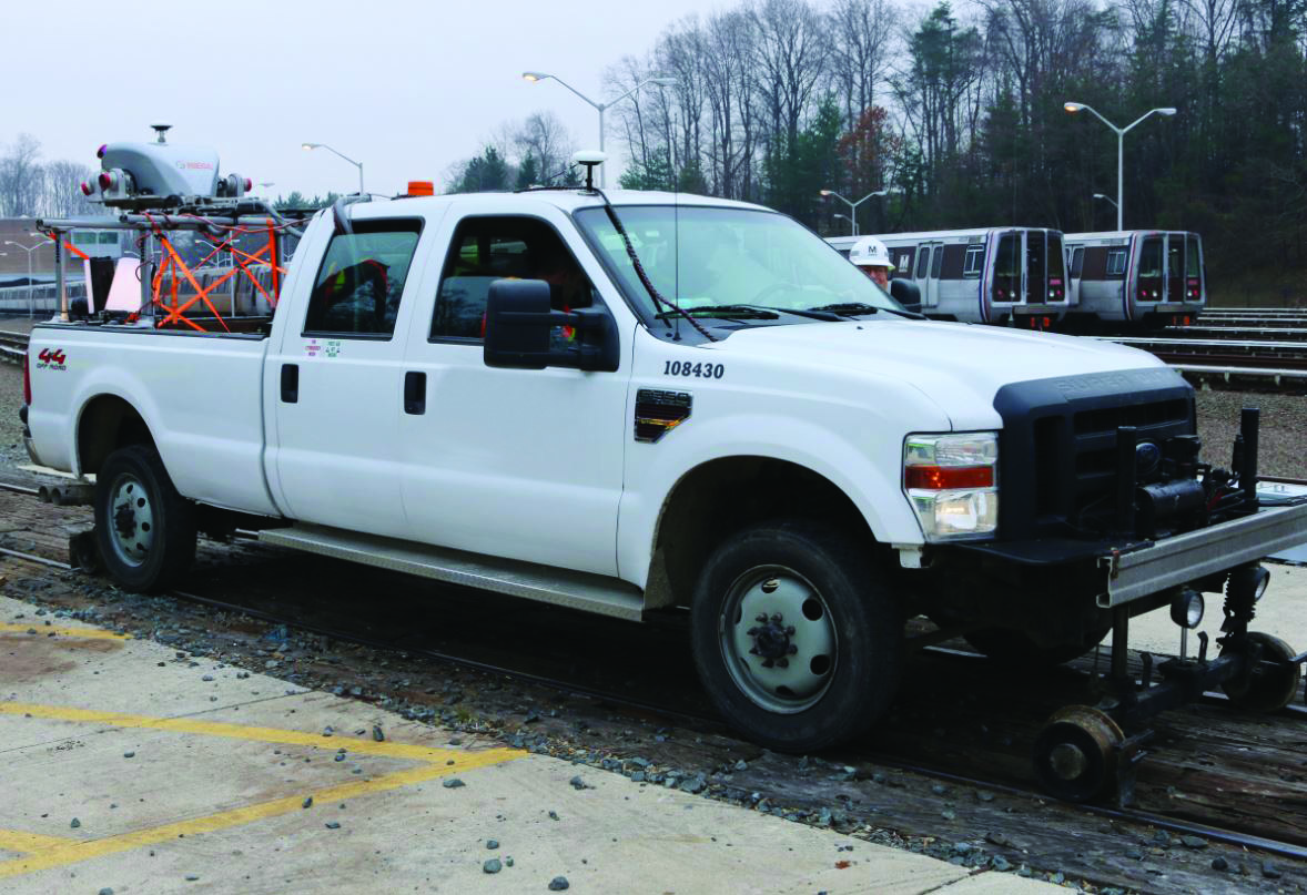
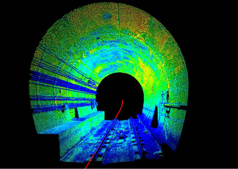
WMATA Mobile LiDAR Survey

Washington, DC

Rail/Tunnel

Mobile LiDAR surveying was performed for the Washington Metropolitan Area Transit Authority (WMATA) to capture the 3D data necessary for creating a base mapping model to aid in defining the most accurate and safe position of a newly designed cable tray, with the purpose of extending quality communication lines throughout the Washington, D.C. subway system. Our professionals were tasked with defining a methodology to collect Mobile LiDAR data in an atypical environment. The data needed to be geospatially accurate and spatially representative within 0.5′ anywhere within the tunnel corridors. A conventional survey control network was developed at the direction of the WMATA. The resulting LiDAR data set was used in defining the location of the new cable tray.