Collection of Data for Roadway Planning
Client | Putnam County, NY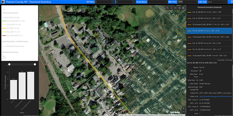
Collection of Data for Roadway Planning
Client | Putnam County, NY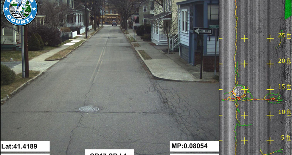
Colliers Engineering & Design provided professional GIS, GPR, and Mobile LiDAR services to conduct a 217-mile roadway corridor inventory and inspection to support the County’s transportation operation and reliability of its infrastructure. The project deliverable will allow the examination of regulation compliance, condition, and risk of failure of the roadway pavement owned by the County.
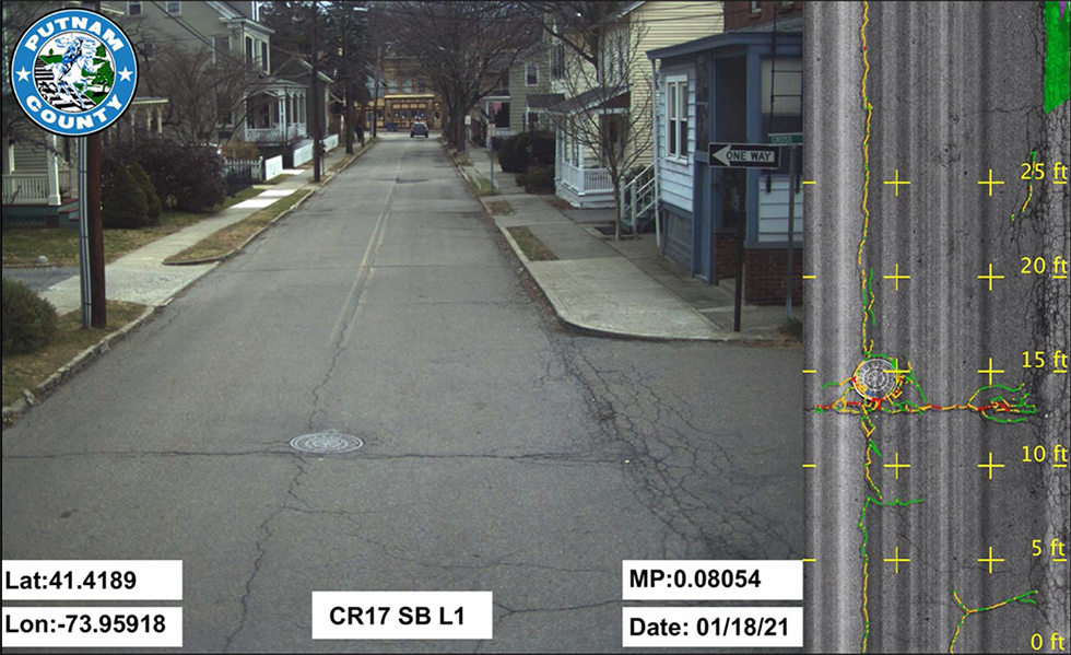
Using GPR technology provided by our subconsultant, the mobile vehicle was equipped with Laser Crack Measurement System (LCMS) coupled with high-resolution video. Data results were migrated to Esri ArcPro for normalization of data, where 0.1 mile linear referencing system data contained the results of the GPR collection. These data were then modeled into one overall LRS geodatabase and displayed in an Esri Dashboard provided to the County stakeholders to review the results and videos per 0.1 mile of roadway bi-directional. The County uses the data to determine what areas of roadway are in need of repair or reconstruction. The multi-year roadway planning task will be based on the data results. Our mobile LiDAR team will be deployed to collect surface LiDAR data and create engineering grade base maps to be used for the road projects that County will be designing as the road program is initiated. Our firm is hosting the County Road Program on our Esri Portal environment that is accessible to the client in editing and viewing mode.
SERVICES
- GIS
- Governmental