Faison Stormwater Mapping
Client | Eastern Carolina Council of Governments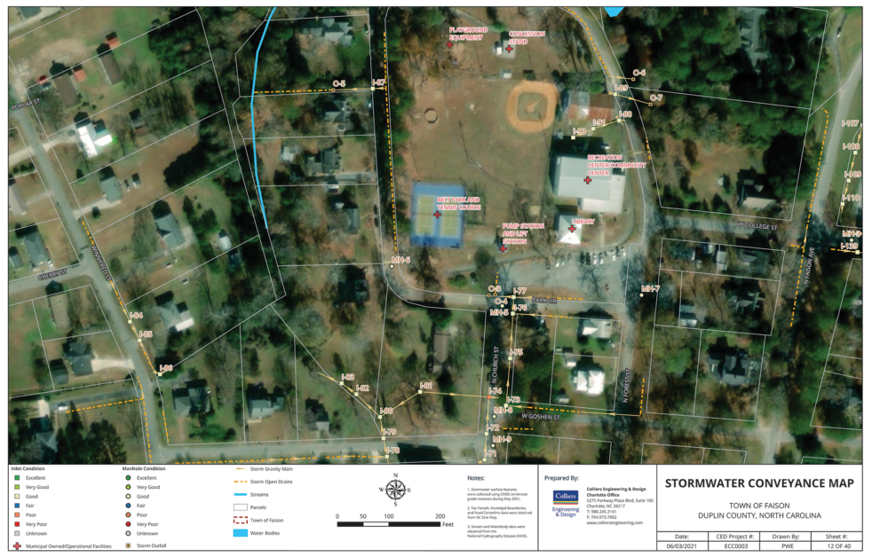
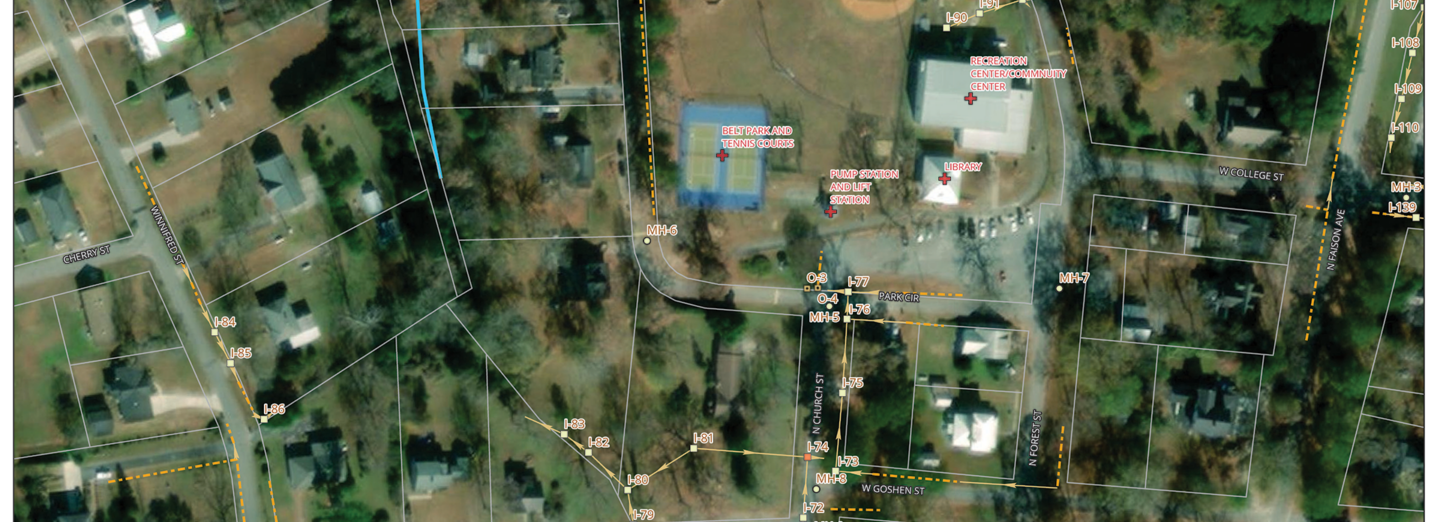
Professional GIS services to perform field inventory of the towns stormwater open and closed conveyance system, and municipal owned facilities, following NCDEQ / NPDES MS4 Stormwater permit mapping, asset inventory and inspection compliance. Using GPS field collection methods, coupled with Esri Mobile Applications, outfall inspection reports, and full Esri geodatabase of the system was delivered to the town for future tool to manage the systems operation and maintenance processes.
At the completion of the mapping, our team deployed the project information into the towns Esri ArcGIS Online account. We provided training to the Public Works Department to assist them in the management of the stormwater system through Esri web applications.
SERVICES
- GIS
- Governmental