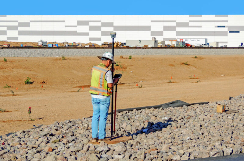
Land Survey
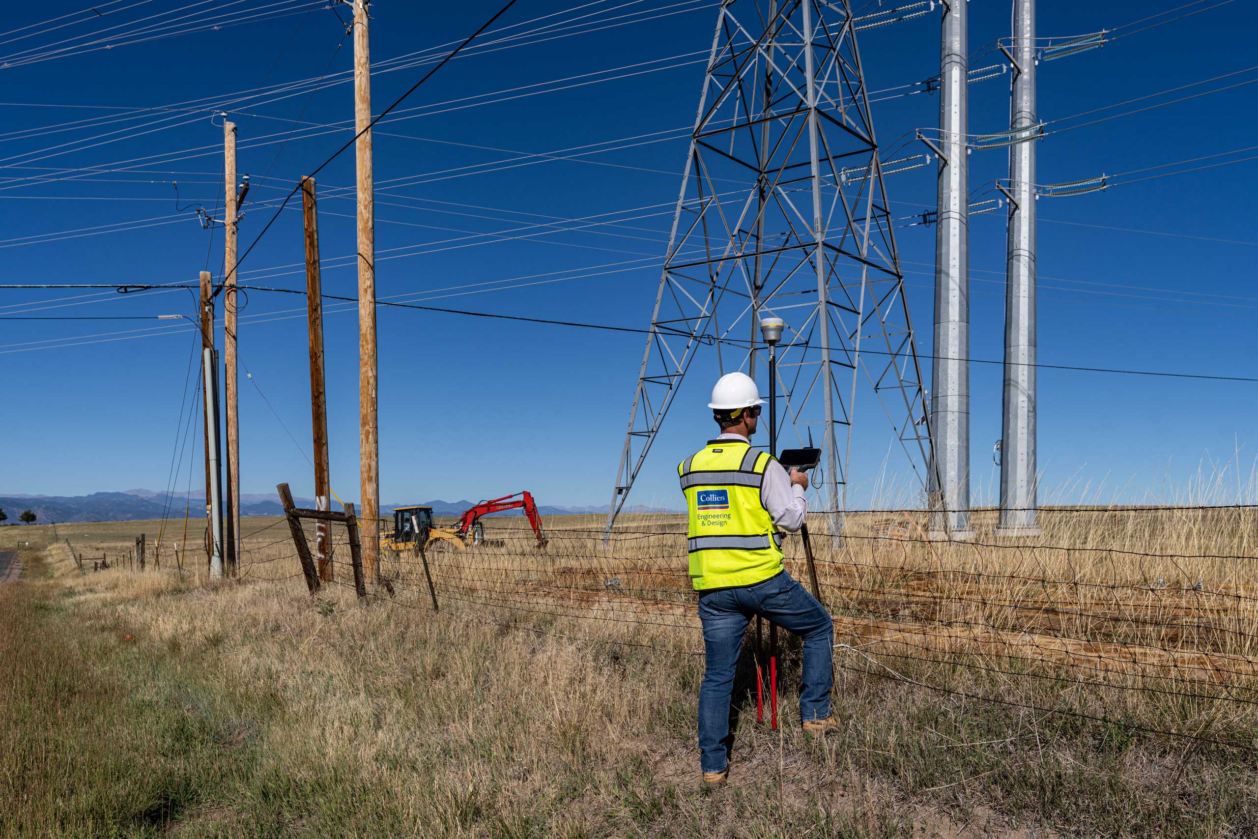
Precision surveying that supports confident planning and construction
Accurate measurement is the foundation of successful infrastructure, development, and construction projects. At Colliers Engineering & Design, our licensed surveyors deliver precise boundary, topographic, and construction data that supports planning, design, permitting, and field execution.
We work across commercial, residential, transportation, rail, aviation, energy, and infrastructure projects to provide reliable data that aligns with regulatory requirements and project objectives.
- Topographic and boundary surveys
- ALTA/NSPS land title surveys
- Construction stake-out and layout services
- As-built surveys
- Environmental and wetlands surveys
- Pipeline and utility right-of-way surveys
- Deformation and structural monitoring surveys
- Aerial photo control for mapping
Our approach
Effective surveying combines experienced professionals, the right instrumentation, and disciplined quality control. We tailor each survey methodology to site conditions and project scope, selecting from conventional total station methods, GPS technology, terrestrial scanning, and integrated geospatial tools as needed.
Our field data is processed through structured quality control procedures to ensure spatial accuracy and consistency from field to final deliverable. By coordinating closely with engineers, planners, and project managers, we provide survey information that directly supports design intent and construction efficiency.
SERVICES
- GIS asset management
- Mobile LiDAR mapping
- Unmanned aerial systems (UAS)
- Subsurface utility engineering
- Right-of-way and land services
- Rail and tunnel measurement

Designing for accuracy, efficiency, and long-term reliability
Survey data influences every downstream decision. We deliver measurement solutions that provide clarity into existing conditions, property boundaries, elevation changes, and infrastructure constraints.
Whether establishing legal boundaries, supporting development approvals, or guiding construction layout, our focus remains on dependable data, reduced risk, and seamless integration with project teams.
Coordinated surveying for complex project environments
Surveying is strongest when integrated with engineering and geospatial disciplines. At Colliers Engineering & Design, our surveyors collaborate directly with GIS specialists, SUE professionals, LiDAR technicians, and engineers to ensure comprehensive site understanding.
This multidisciplinary coordination improves communication, strengthens design alignment, and supports smooth progression from planning through construction.

Frequently asked questions
A land survey measures and defines property boundaries, elevations, and physical site features to support development, design, and legal documentation.
ALTA/NSPS land title surveys are typically required for commercial real estate transactions to verify boundary lines, easements, encroachments, and site conditions.
Boundary surveys define legal property lines, while topographic surveys map existing surface features and elevation changes to support engineering and design.
Surveyors provide construction layout, stake-out, and as-built documentation to ensure structures are built in the correct location and elevation according to design plans.
Let’s talk about your next project!
Our multidisciplinary approach to design, combined with a deep understanding of the industry and passion for innovation, has positioned us as leaders consistently delivering outstanding results in shaping the built environment.