Building the Data Behind Safer Streets
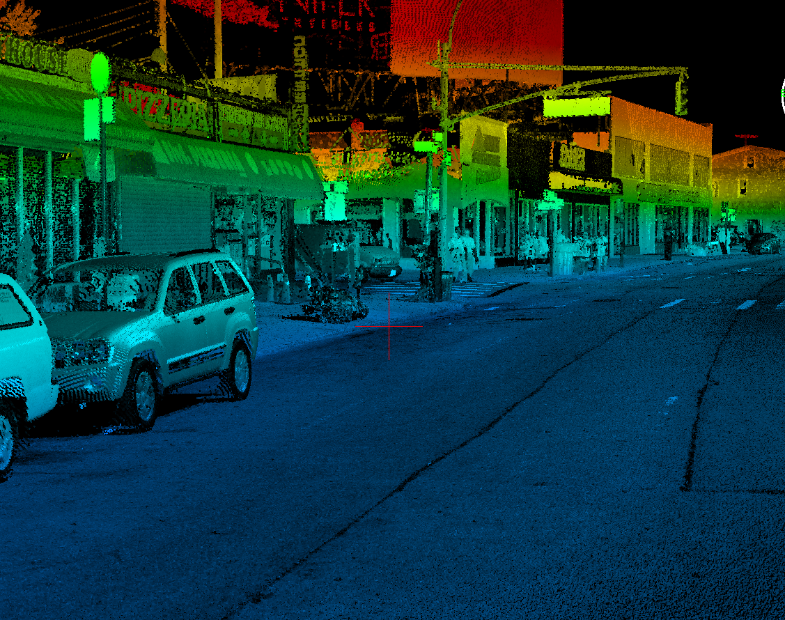
Queens Boulevard is one of New York City’s most complex and heavily traveled corridors, carrying vehicles, cyclists, and pedestrians across multiple roadways and service lanes. As part of the City’s Vision Zero initiative, improving safety along this corridor starts with a clear understanding of how it functions today.
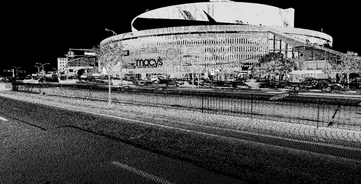
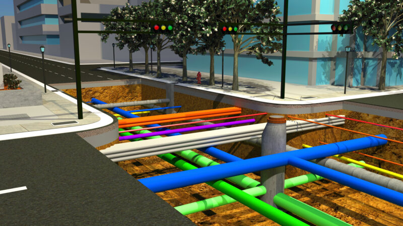
Our team supported this effort by capturing detailed, high-resolution data across approximately 29,000 linear feet of a 200-foot-wide corridor. Using mobile LiDAR technology, we mapped both main arterial roadways and adjacent service roads, creating a precise digital representation of the existing conditions.
Turning Data into Actionable Insight
The data collected was processed into clean base plans and topographic mapping in accordance with New York City standards, providing a reliable foundation for future design and safety improvements. By extracting all linework in three dimensions, the mapping allowed for accurate feature identification and consistent stationing, supporting detailed utility and roadway analysis.
This level of precision helps engineers and planners better understand how the corridor operates and where improvements can have the greatest impact. Delivered in phased packages, the mapping effort provided timely, actionable information to support ongoing safety initiatives.
The result is more than just a survey. It is a critical first step in making Queens Boulevard safer, giving the City the clarity it needs to design streets that better serve everyone who uses them.