Reconnecting a City: Reimagining Rochester’s Inner Loop North
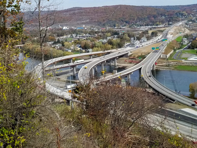
For decades, the Inner Loop expressway carved a physical divide through Rochester’s urban core, a remnant of Eisenhower-era highway policy that disproportionately disrupted neighborhoods of color and severed the connections between them. Now, the City of Rochester is writing a new chapter, one rooted in equity, accessibility, and community-driven growth.
From Highway to Neighborhood
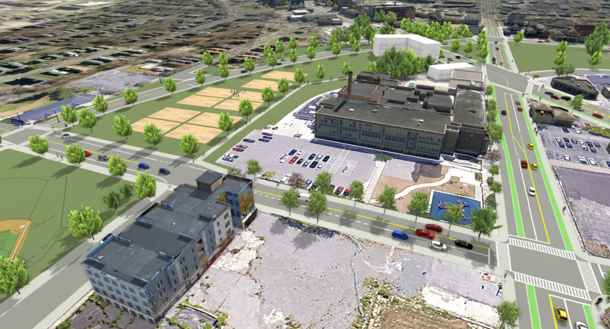
Building on the success of the Inner Loop East Project, which reclaimed land for mixed-use development and improved multi-modal access, the City turned its attention north. The Inner Loop North Transformation Study represents the first critical design phase, a comprehensive evaluation of alternatives to replace aging highway infrastructure with a traditional city grid that restores what was lost.
Our team is leading this effort, bringing together urban planners, transportation engineers, and community engagement specialists to guide a process as complex in its human dimensions as its technical ones. The goal extends well beyond roadway design. It’s about rebuilding trust, restoring connectivity, and creating the conditions for lasting neighborhood vitality.
Listening Before Drawing
Meaningful transformation starts with understanding. In 2020, the team advanced a thorough existing conditions analysis, evaluating highway infrastructure, traffic patterns, and the demographic and market forces shaping surrounding neighborhoods. Despite the challenges of the pandemic, engagement never stalled. Virtual meetings, socially distanced walking tours, and online platforms ensured a wide range of community voices helped shape the project’s direction from the start.
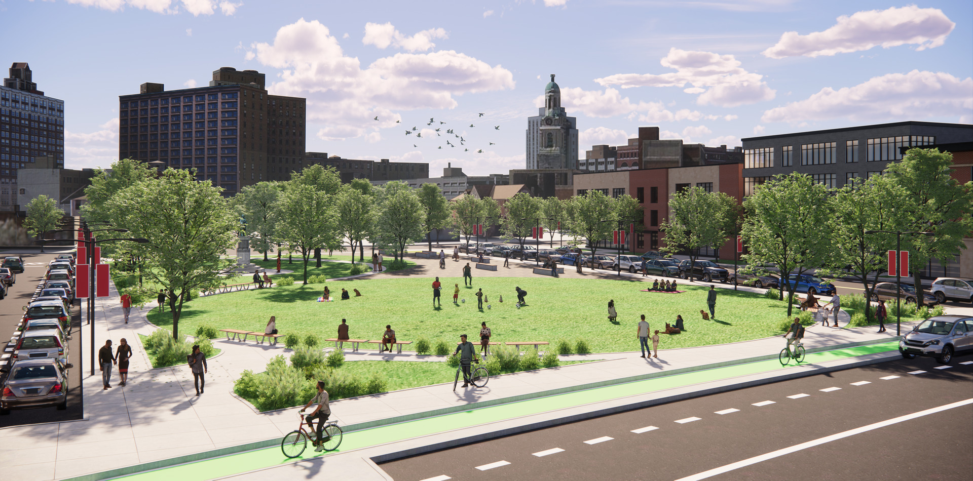
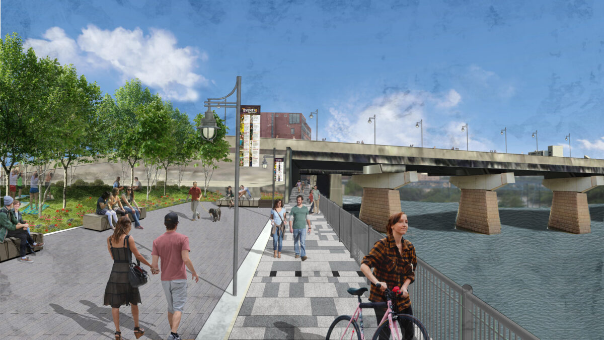
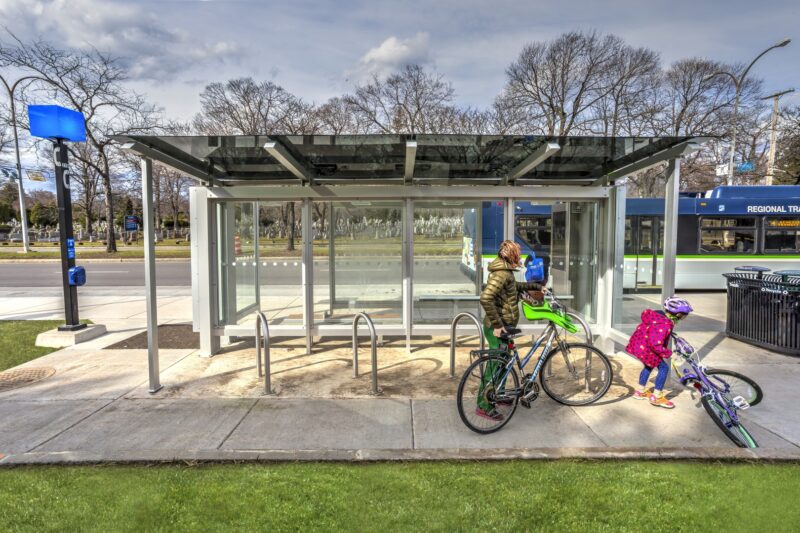
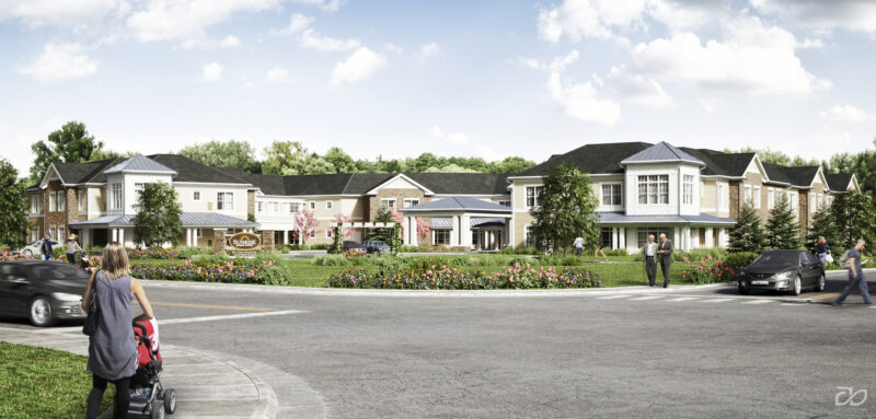
By 2021, those voices had shaped a preferred path forward. The selected concept, City Grid Restoration, is an $80–90M vision that removes the remaining high-speed expressway and replaces it with a lower-speed urban arterial, signalized intersections, continuous cycle tracks, pedestrian-friendly streetscapes, and new green spaces. The plan unlocks roughly 25 acres of developable land, creating opportunities for homeownership, entrepreneurship, and the re-establishment of parks and public gathering spaces.
Resilience Through Reconnection
What makes this project transformative isn’t just what’s being built. It’s what’s being repaired. By undoing infrastructure that divided communities for generations, Rochester is investing in a more connected, equitable, and resilient urban fabric. The study sets the foundation for preliminary and detailed design phases to follow, moving the city closer to a waterfront-to-neighborhood vision that serves all of its residents.