
Outfall GPS Data Collection & Report Mapping
Putnam County, NY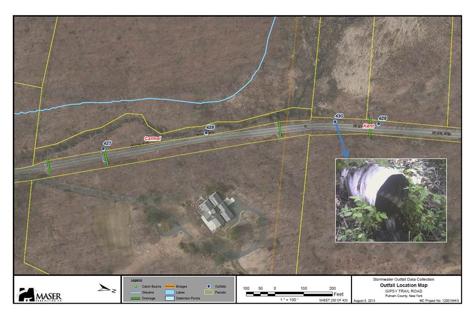
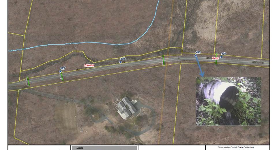
Provided GIS/GPS services for Putnam County in order to help the County satisfy the NYSDEC State Pollutant Discharge Elimination System (SPDES) general permit for stormwater discharges from MS4 systems for Illicit Discharge Detection and Elimination. Colliers Engineering & Design professionals were tasked with GPS field collection of the locations of County-owned outfalls; recording suspected stormwater illicit connections; photographing structures that required maintenance; and inventorying characteristics of the outfalls and their discharge point.
The project deliverable will assist the County in reporting the status of illicit connection mitigation efforts; tracking the costs of potential improvements at the outfalls; reducing stormwater pollutant runoff; tracking outfall Operations and Maintenance (O&M) procedures; and managing outfall O&M historic records. By having this information mapped, Putnam County is now able to not only satisfy the mapping requirements of the permit, but will also be able to identify, track, and manage the process of correcting illicit connections that take place throughout each year. The data mapped follows the standard NY County GIS stormwater data model and allows the County to efficiently manage and maintain its stormwater systems.
SERVICES
- GIS