-
Julia Wolanski Joins Colliers Engineering & Design

Colliers Engineering & Design, a national multi-discipline engineering, architecture and design firm, is pleased to announce it has hired Julia Wolanski, PSM as Project Manager for the GIS / Asset Management Division...
View Article -
Kara Drane Joins Colliers Engineering & Design

Colliers Engineering & Design, a national multi-discipline engineering, architecture design firm, is pleased to announce it has hired Kara Drane, AICP, as Senior Project Manager / Planning in the firm’s Charlotte, NC...
View Article -
David Healy Joins Colliers Engineering & Design

Colliers Engineering & Design, a national multi-discipline engineering design firm, has hired David Healy as Director of School Referendum Services.
View Article -
Darnetta Craig Joins Colliers Engineering & Design’s Water Resources Division

Maser Consulting, a national multidiscipline consulting and engineering design firm, is pleased to announce that Darnetta D. Craig, PE has joined the firm as Senior Project Manager and the lead for the Water/Wastewater Division in the firm’s Pittsburgh office.
View Article -
Do You Really Know Your Assets?
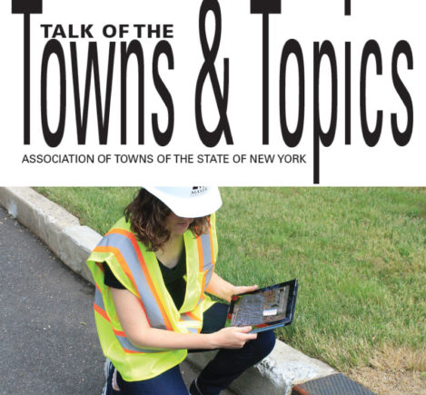
The northeastern U.S. has some of the oldest subsurface utility networks in the nation. Materials used 50 to 100 years ago are not the same as we use today when constructing utilities such as water, sewer and stormwater systems, and many of these materials may be approaching the end of their lifecycles. Older utility networks such as these can be somewhat of an unknown when owners are evaluating the location, condition and risk of failure of their assets.
View Article -
Tax Maps: From Fabric to Digital Mapping
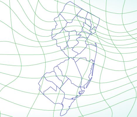
The first tax mapping originated in the 1670s in Boston where the assessors listed assets and value. In the early stages of development, these maps detailed the metes and bounds of each property. They were drawn manually and many times were printed on animal skin (vellum) or linen fabric...Today, the use of digital tax mapping performed with Computer Aided Design/Drafting (CADD) and more recently, Geographic Information Systems (GIS), has advanced the tax map system in both practicality and accuracy.
View Article